


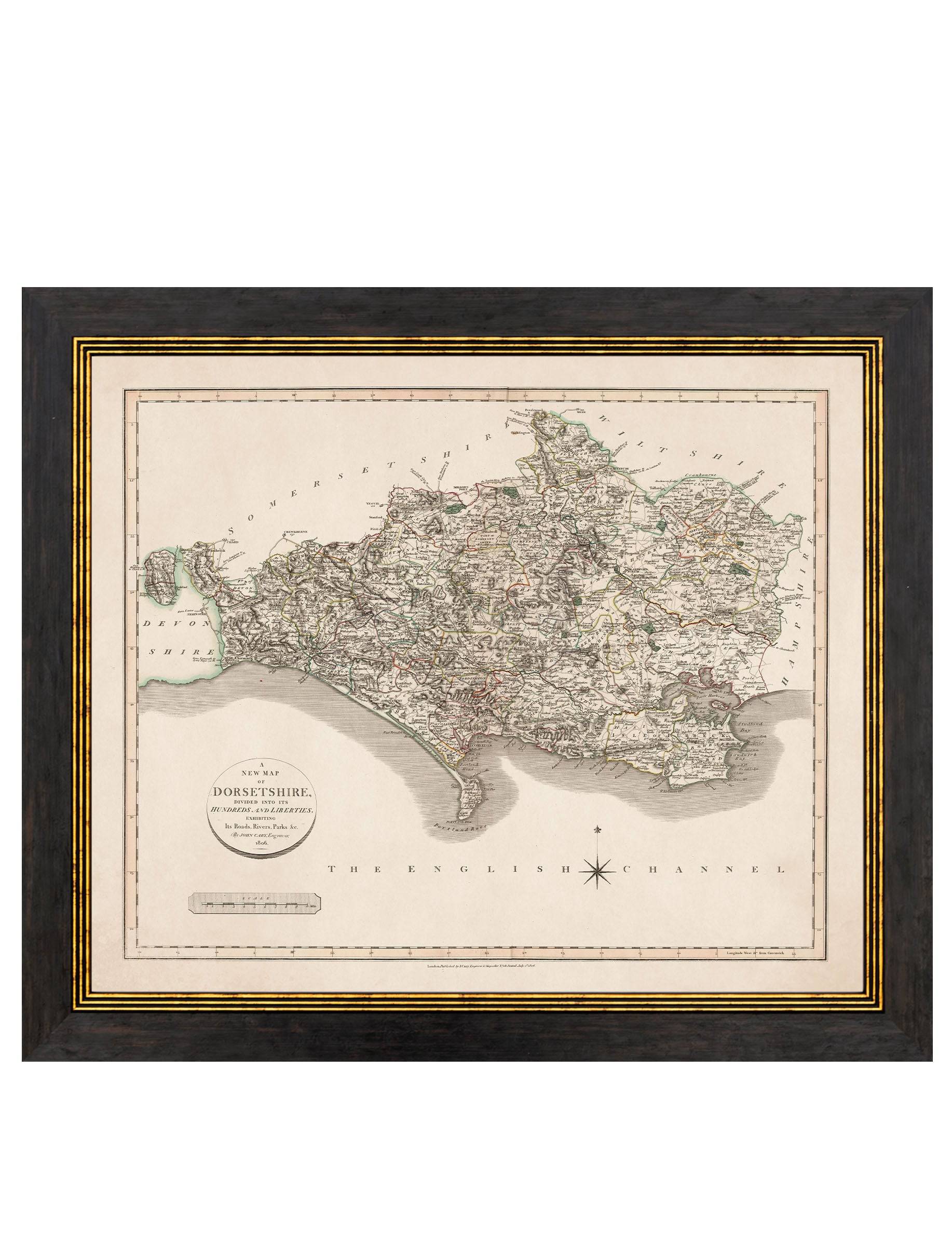
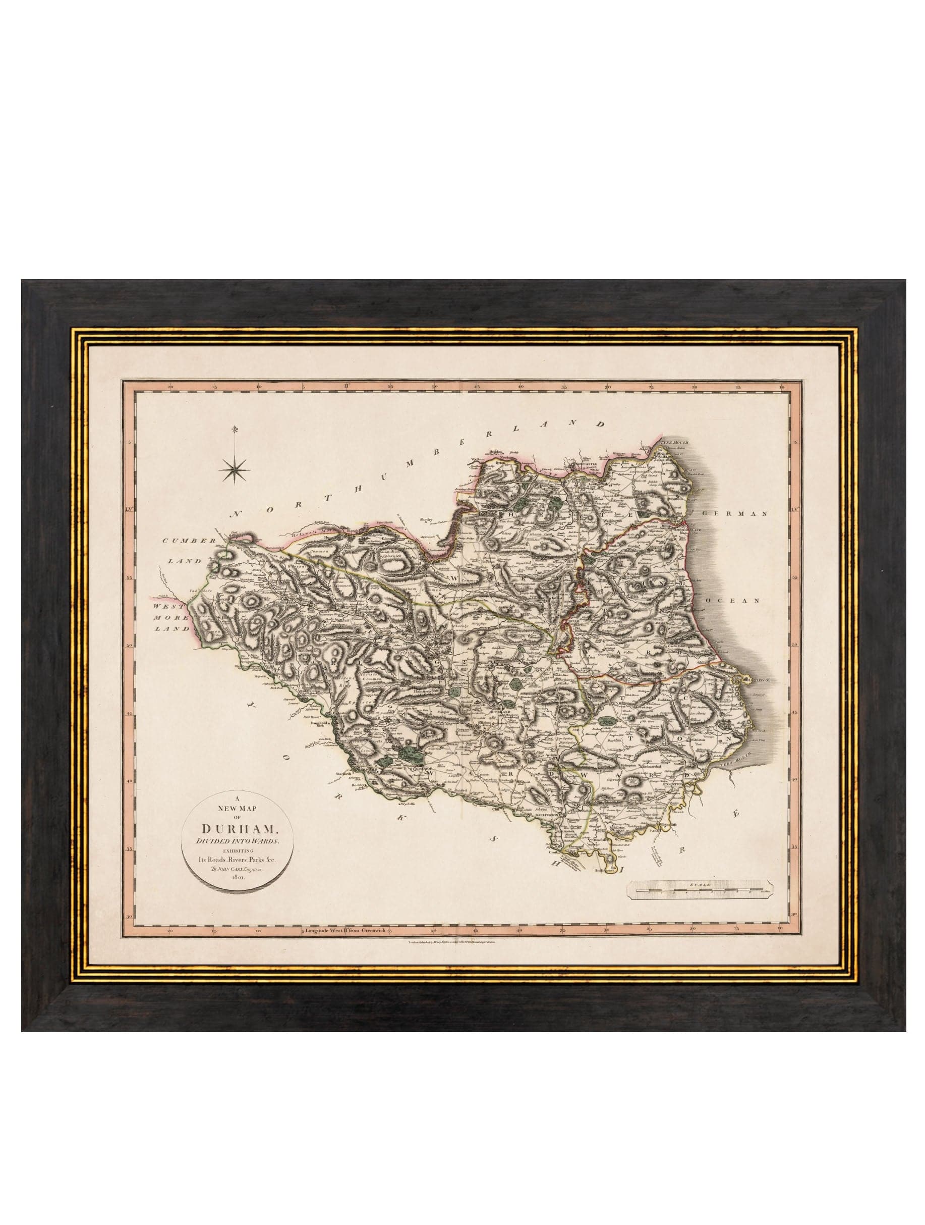
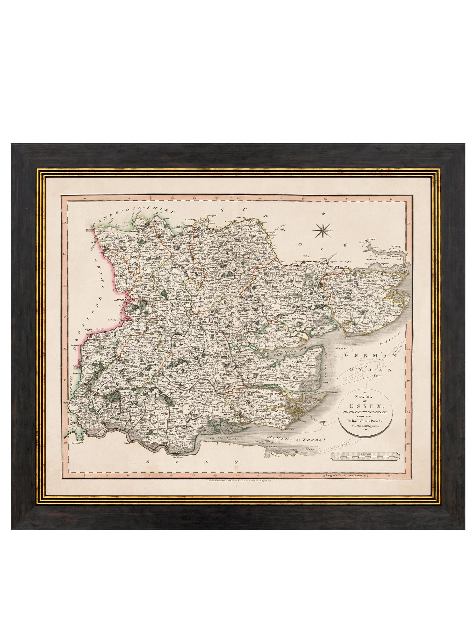
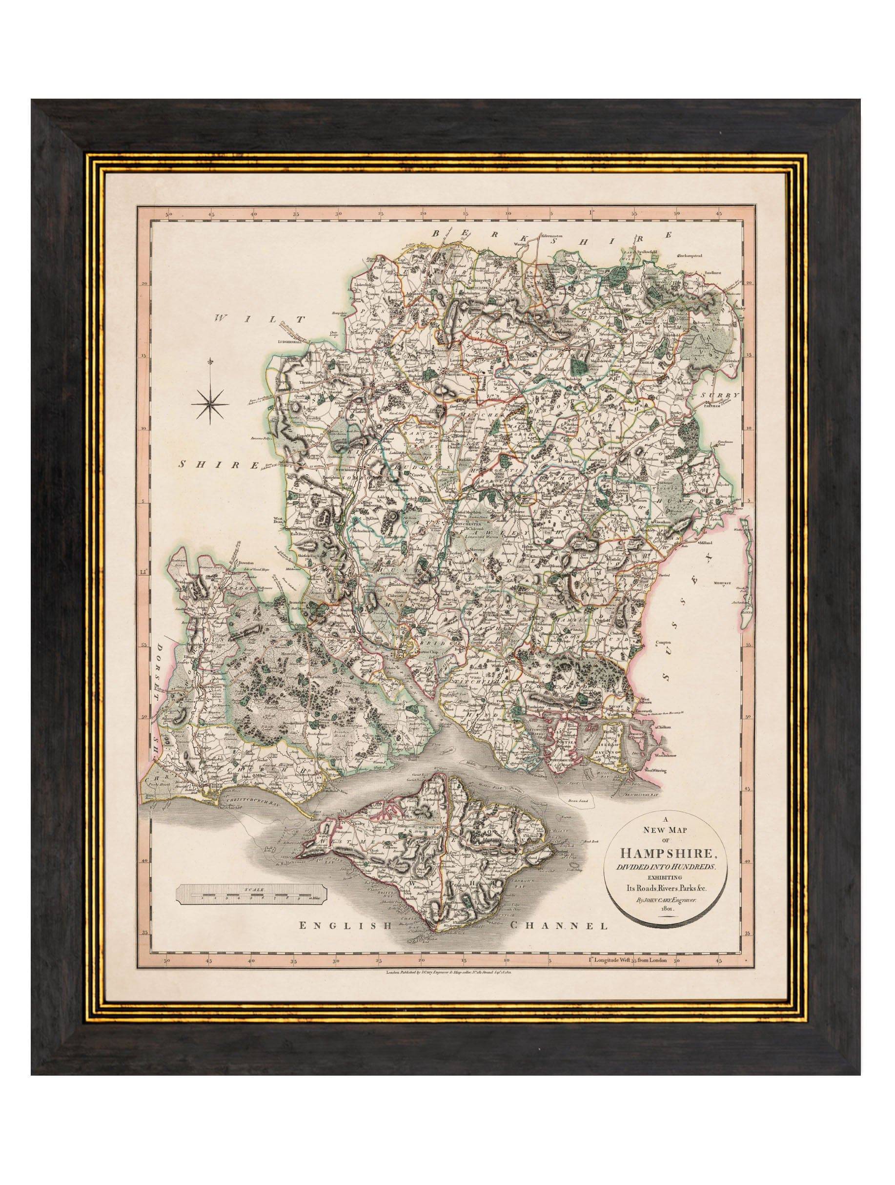
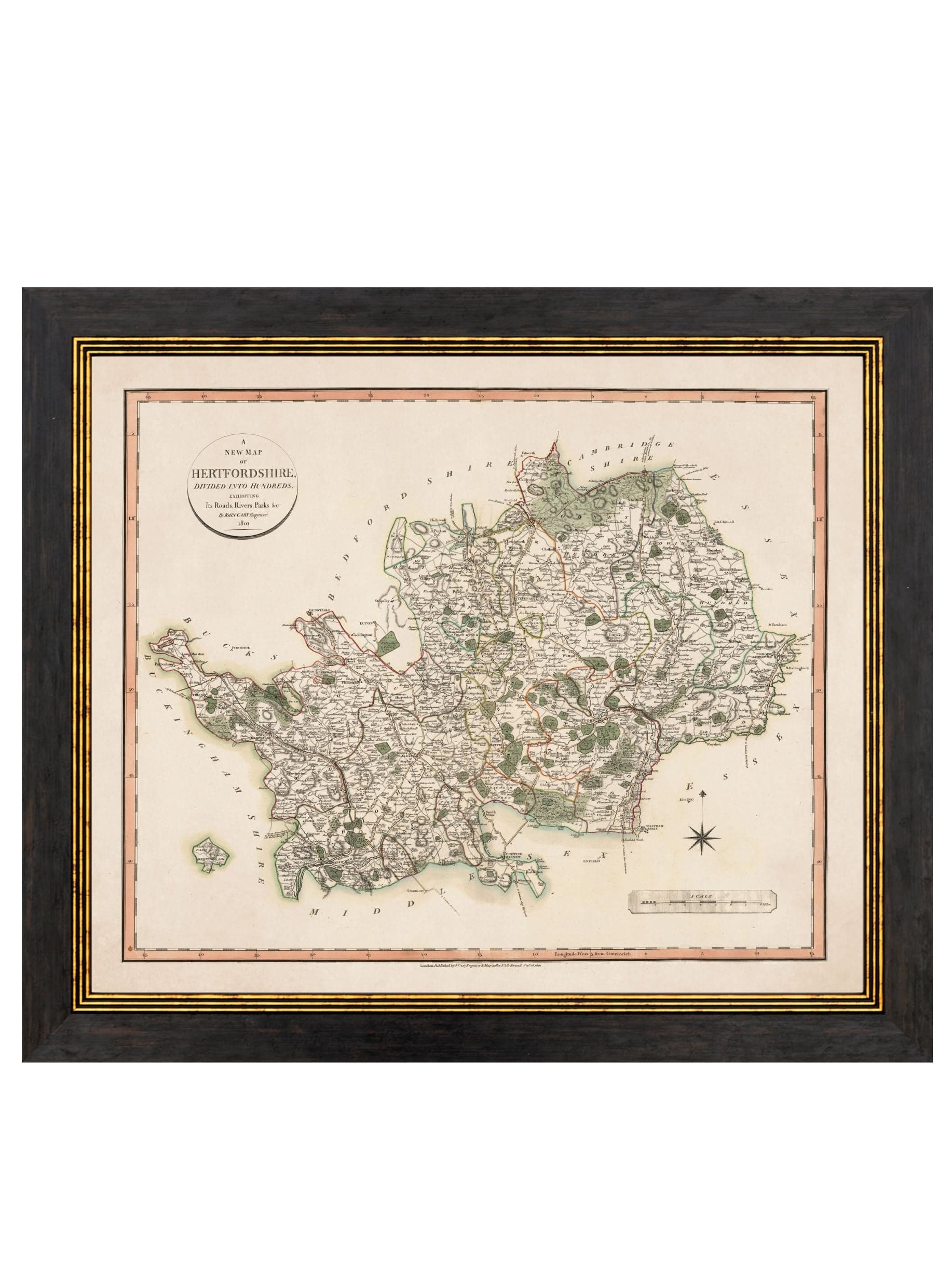
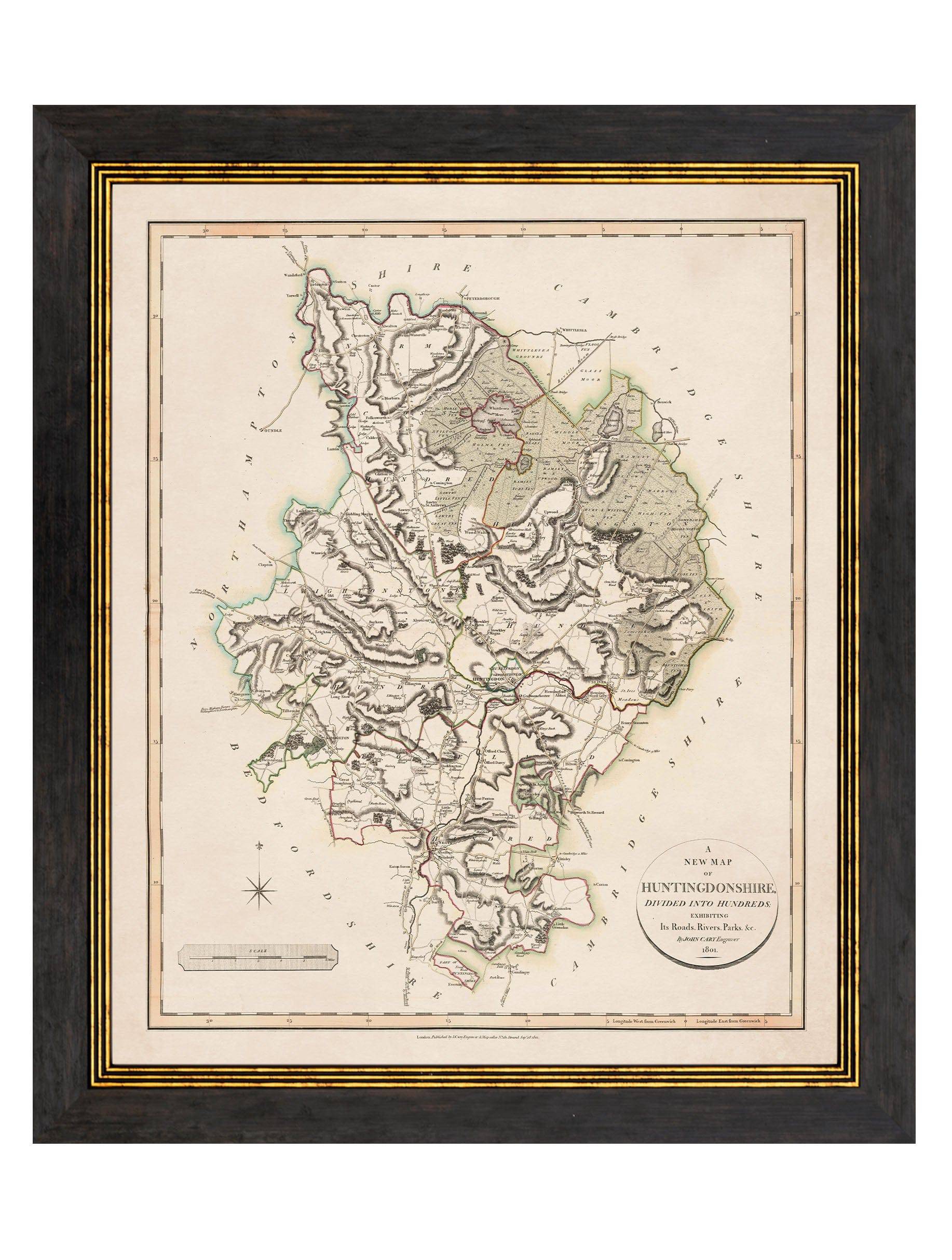
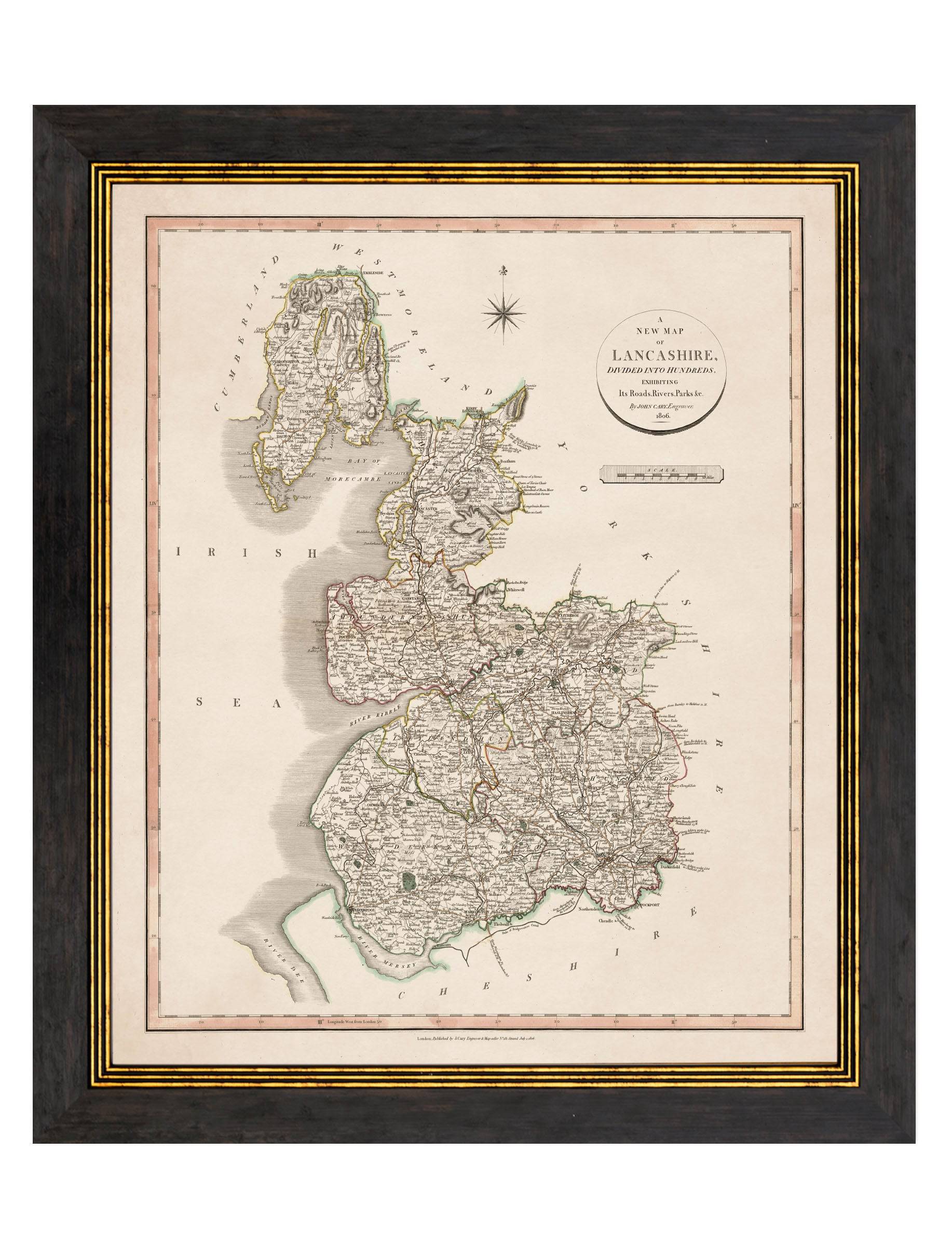
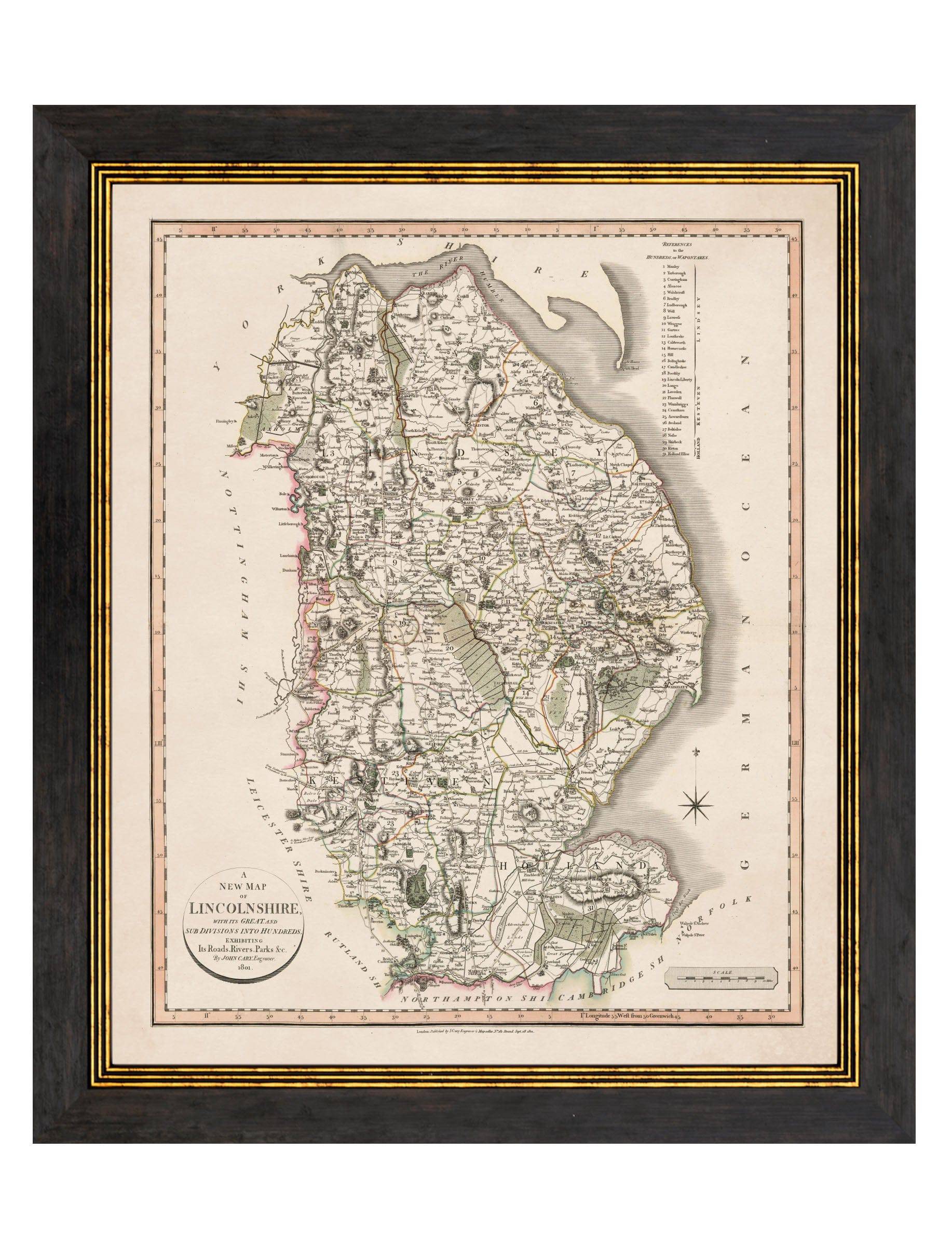
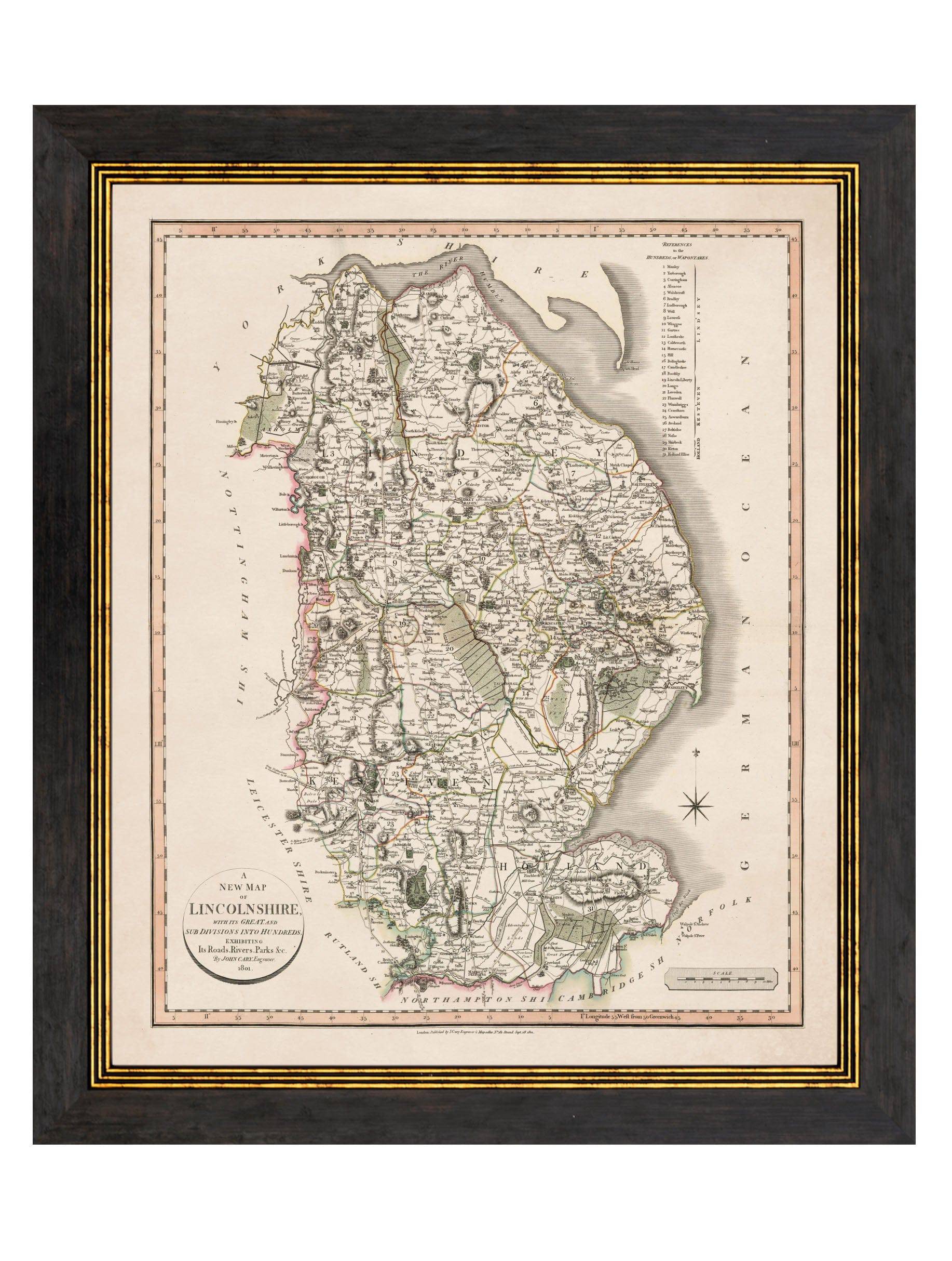
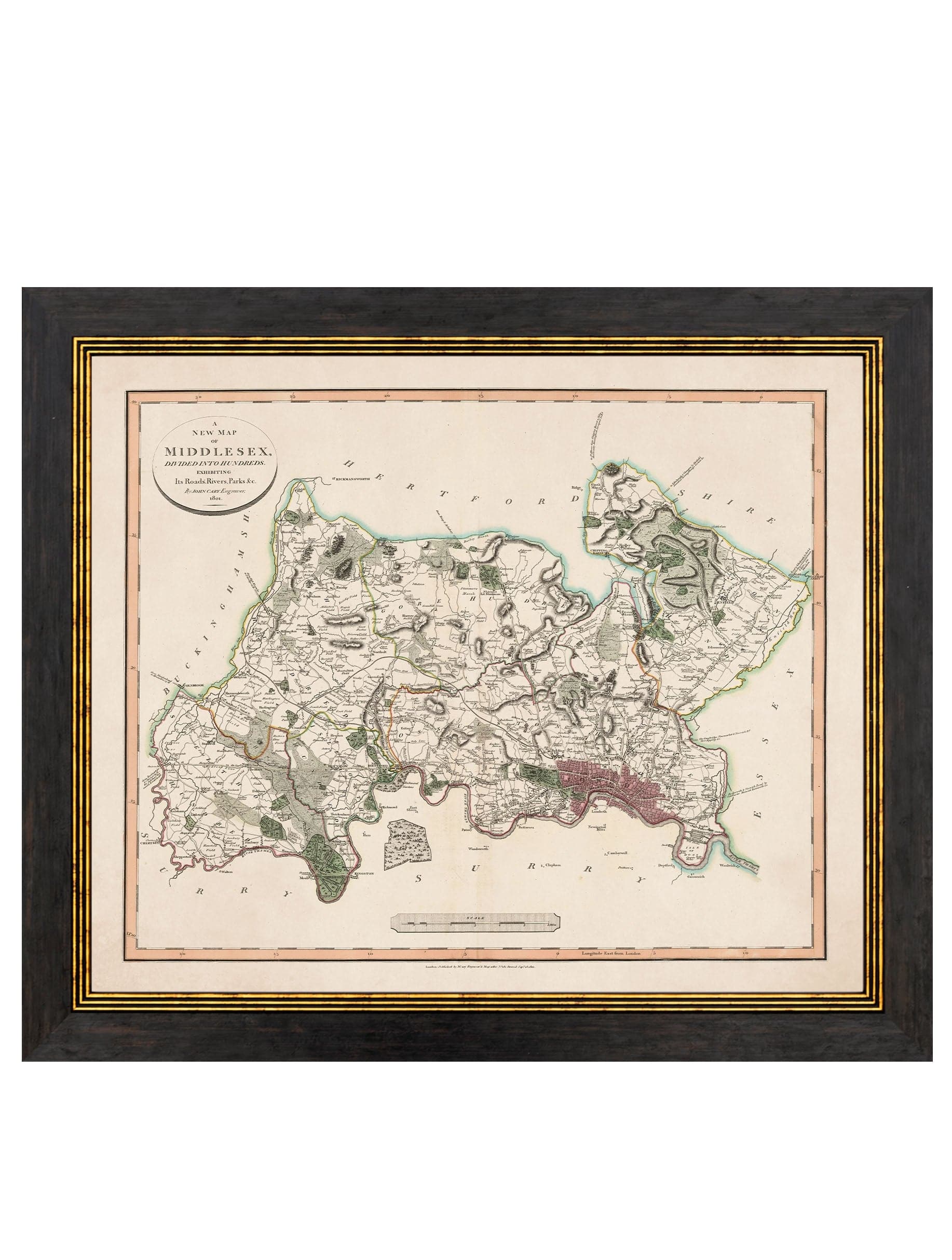
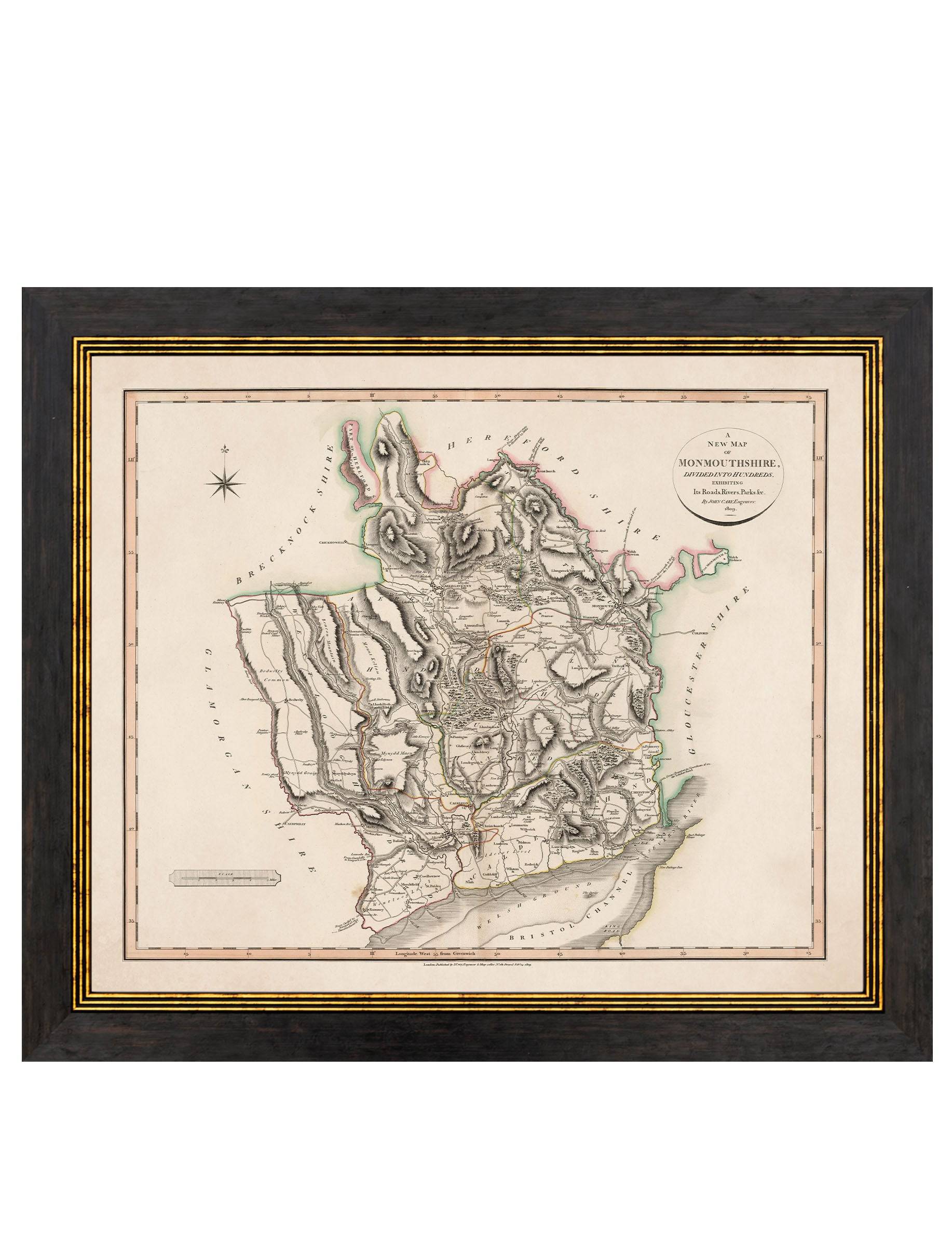
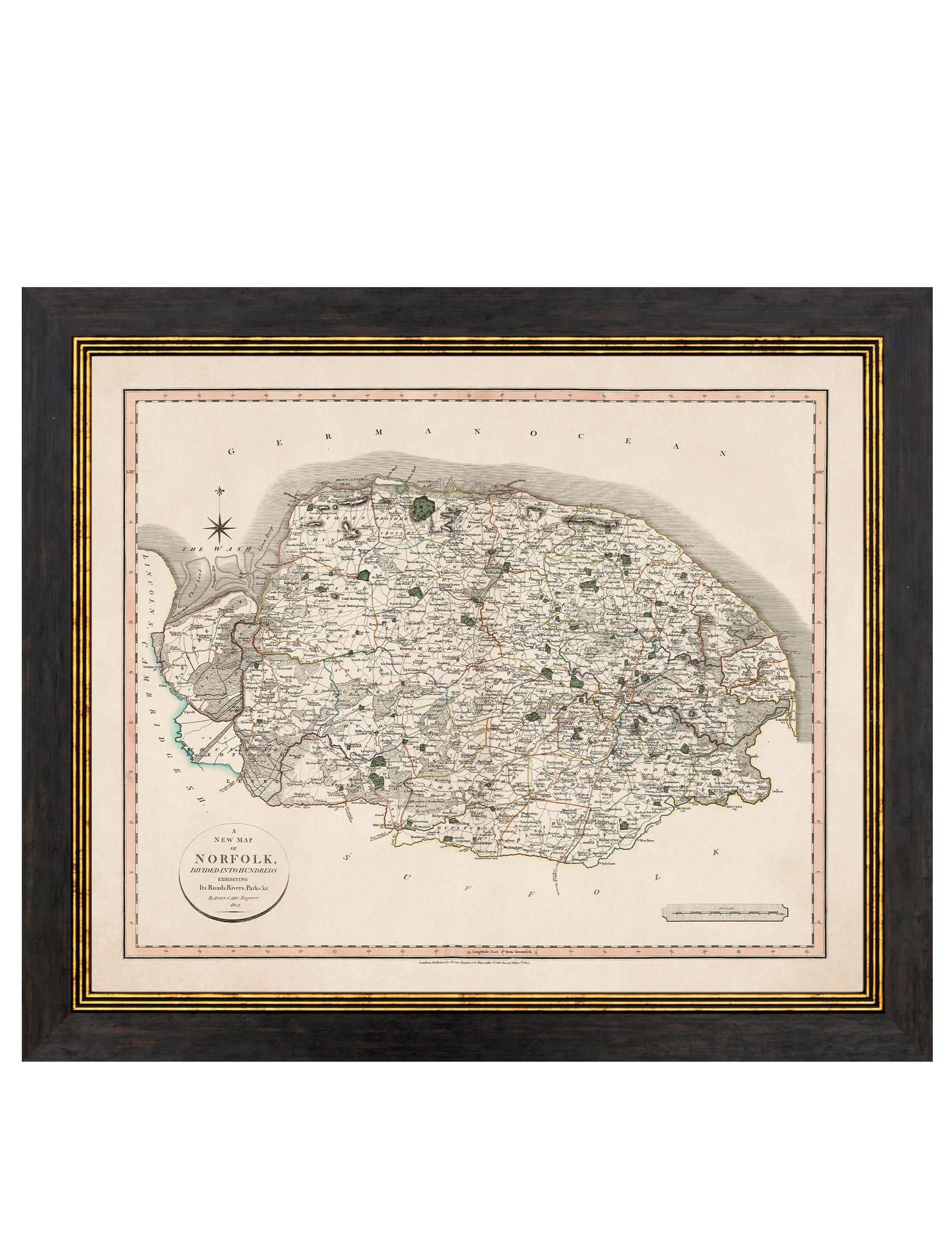
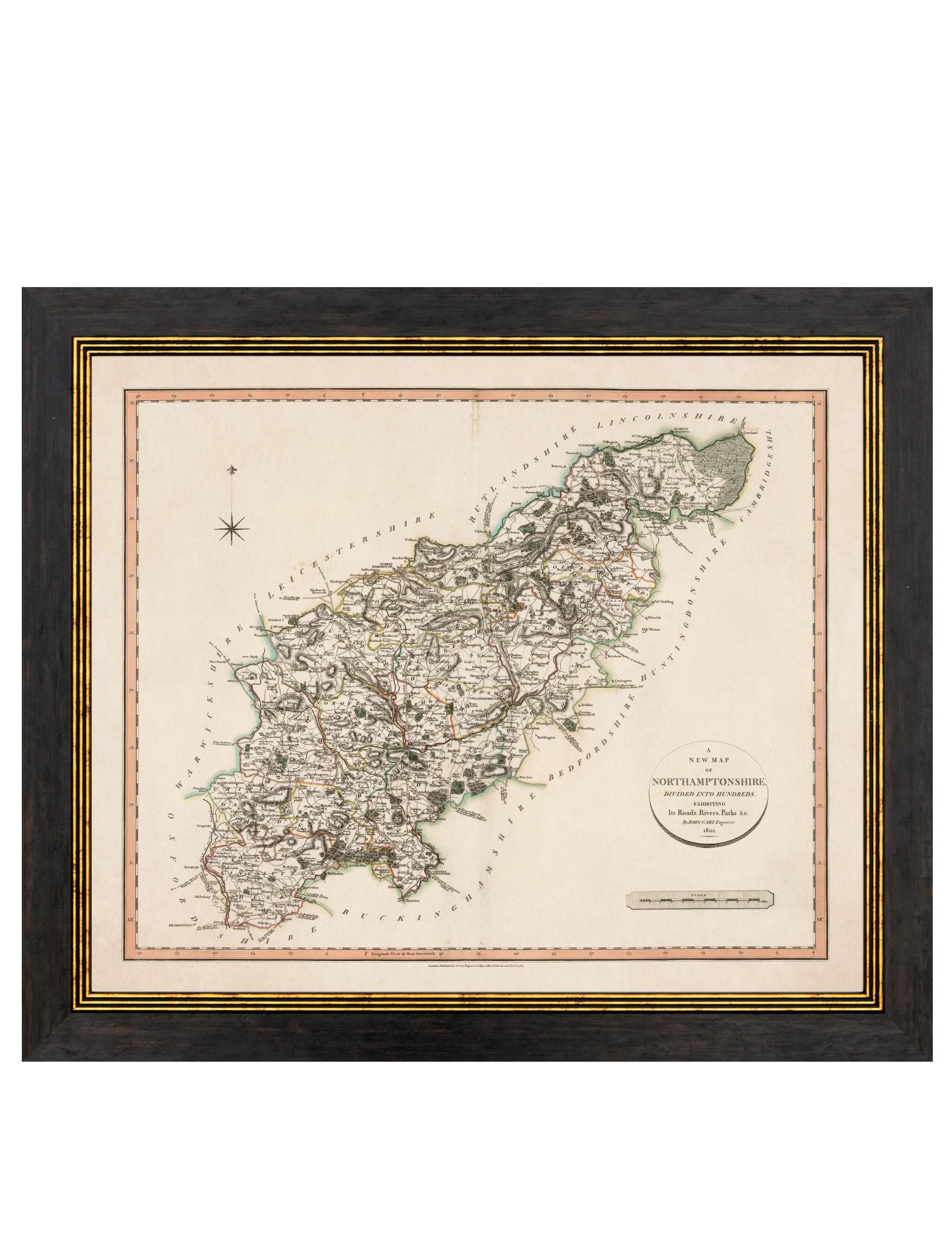
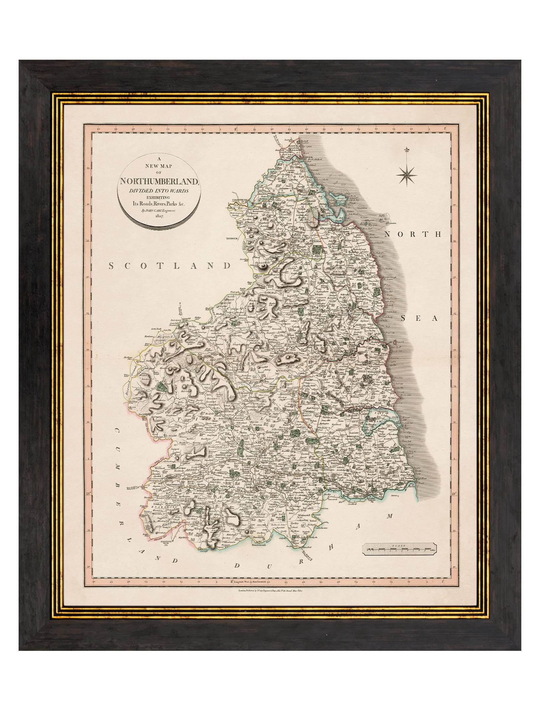
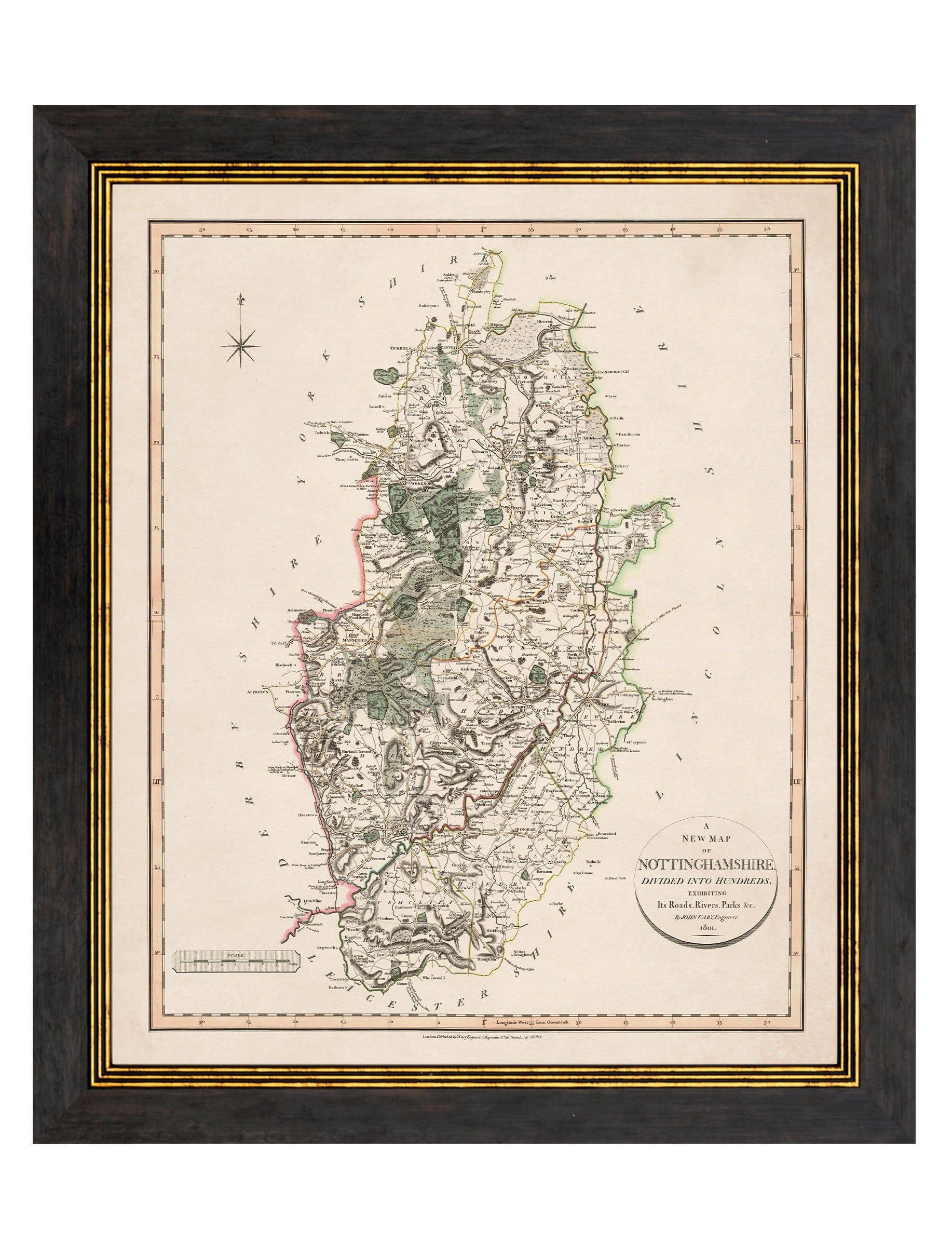
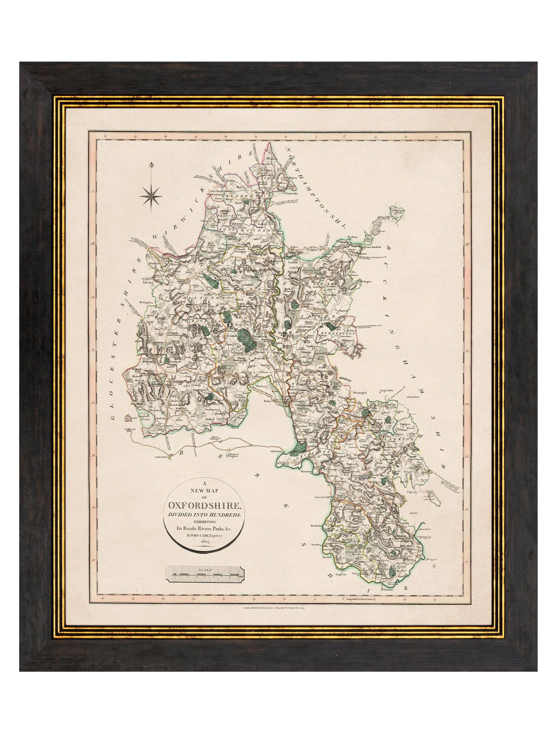
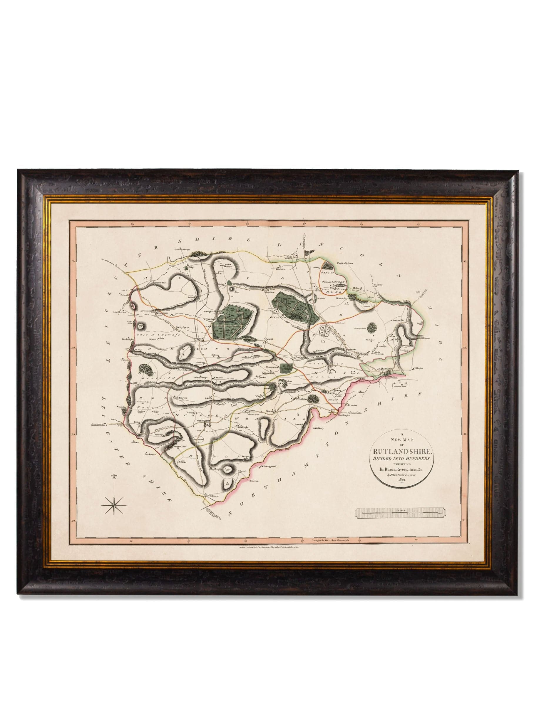
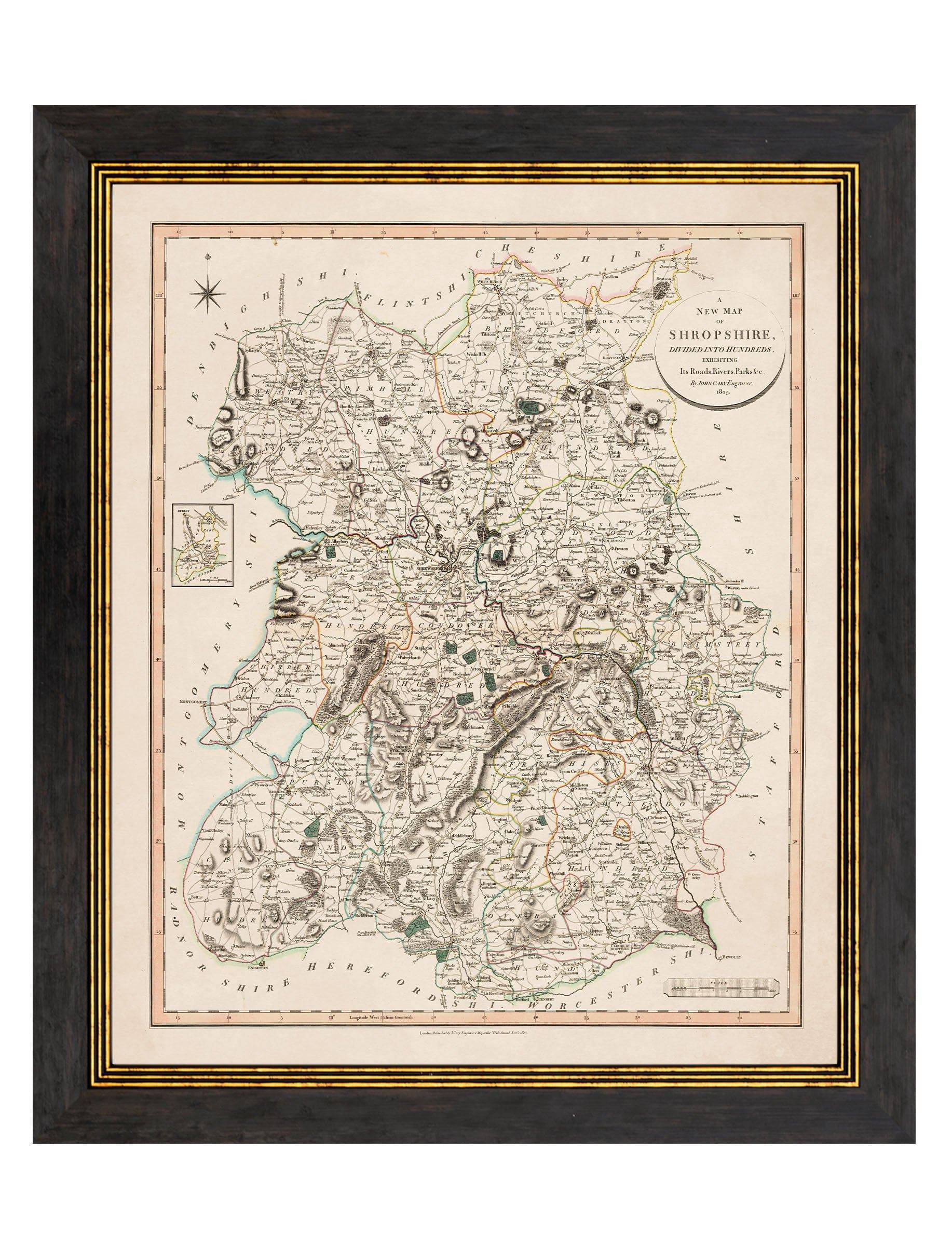
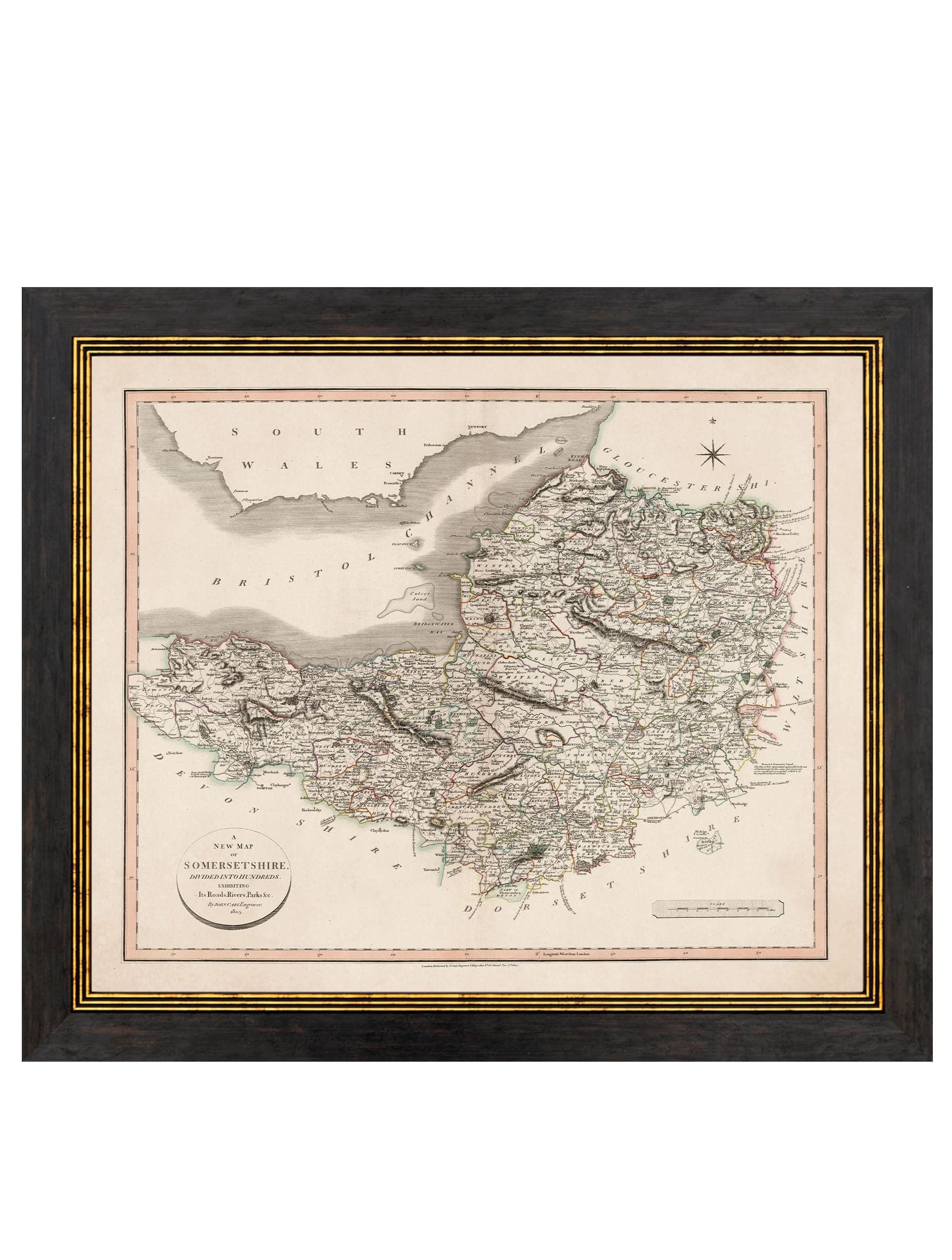
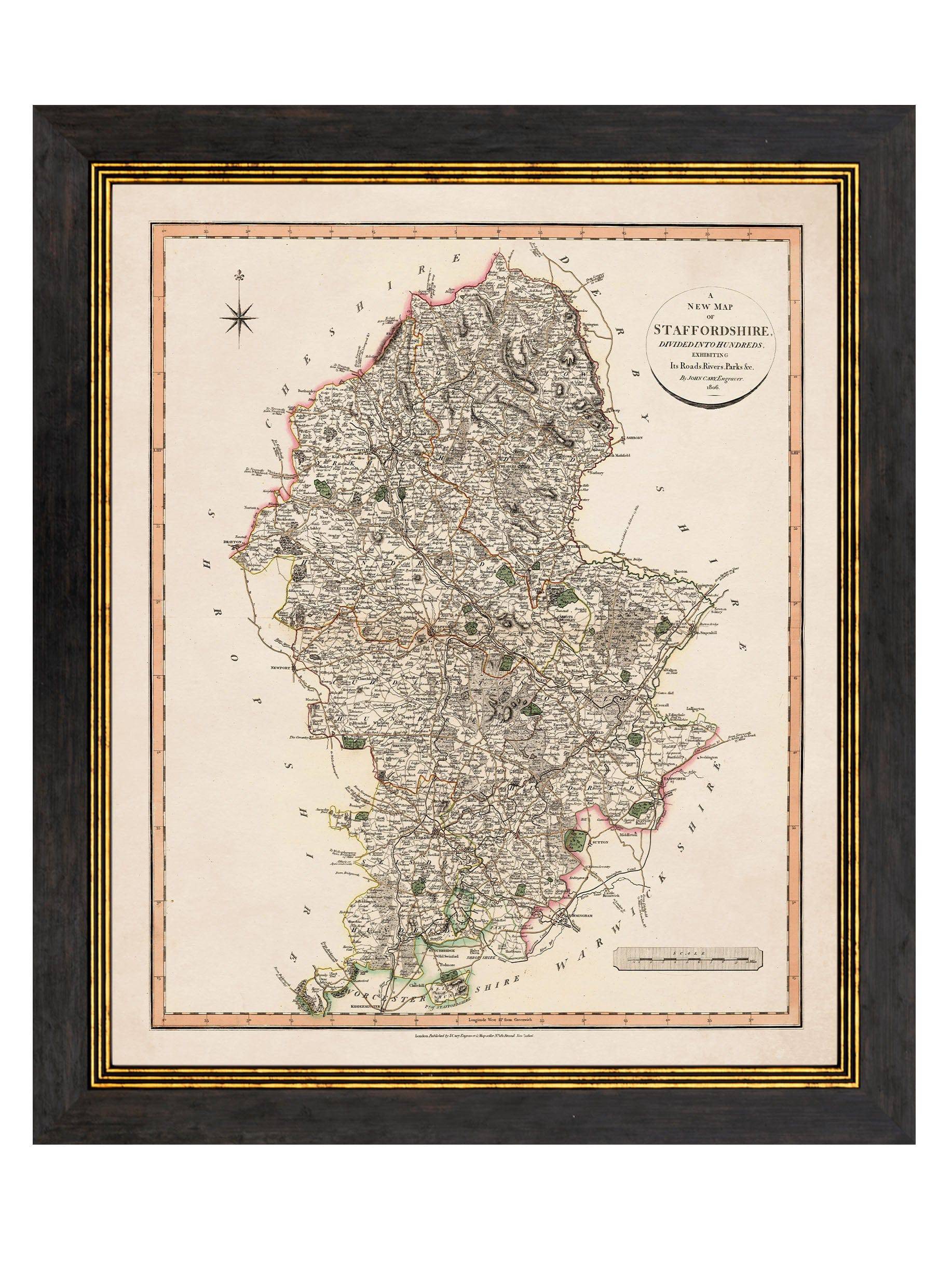
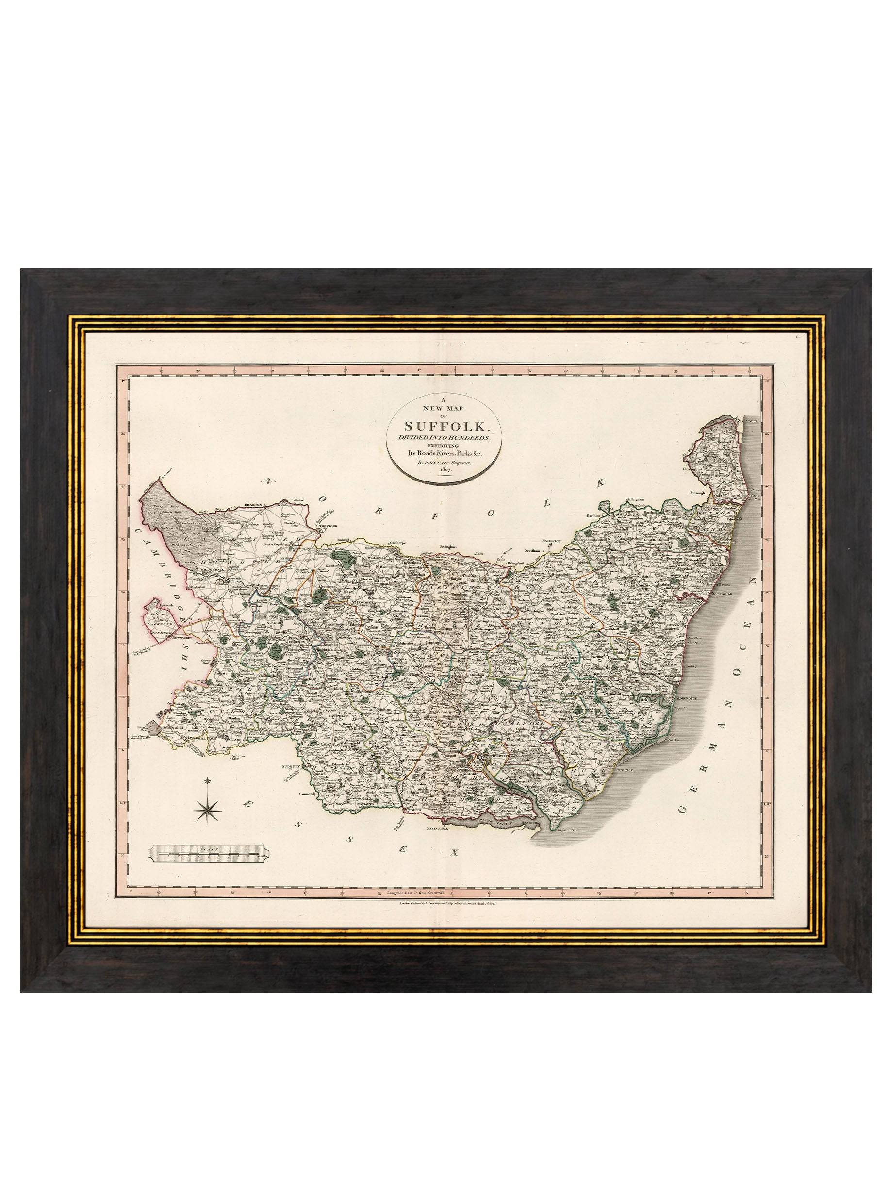
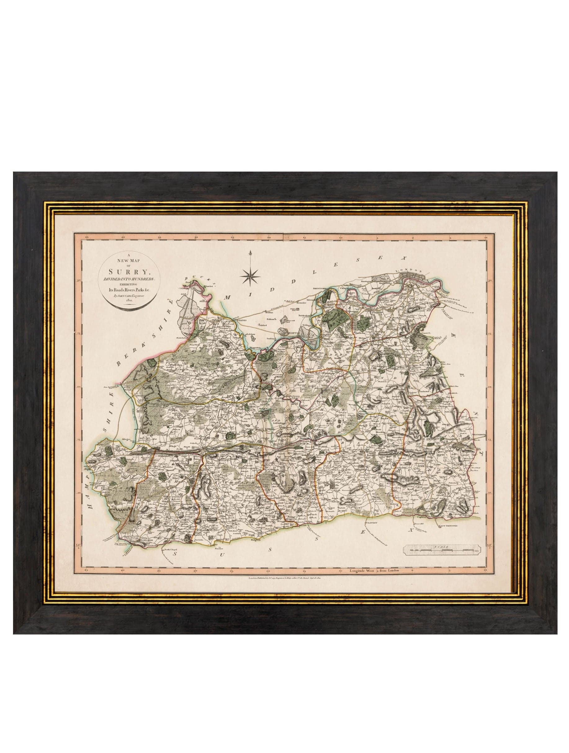
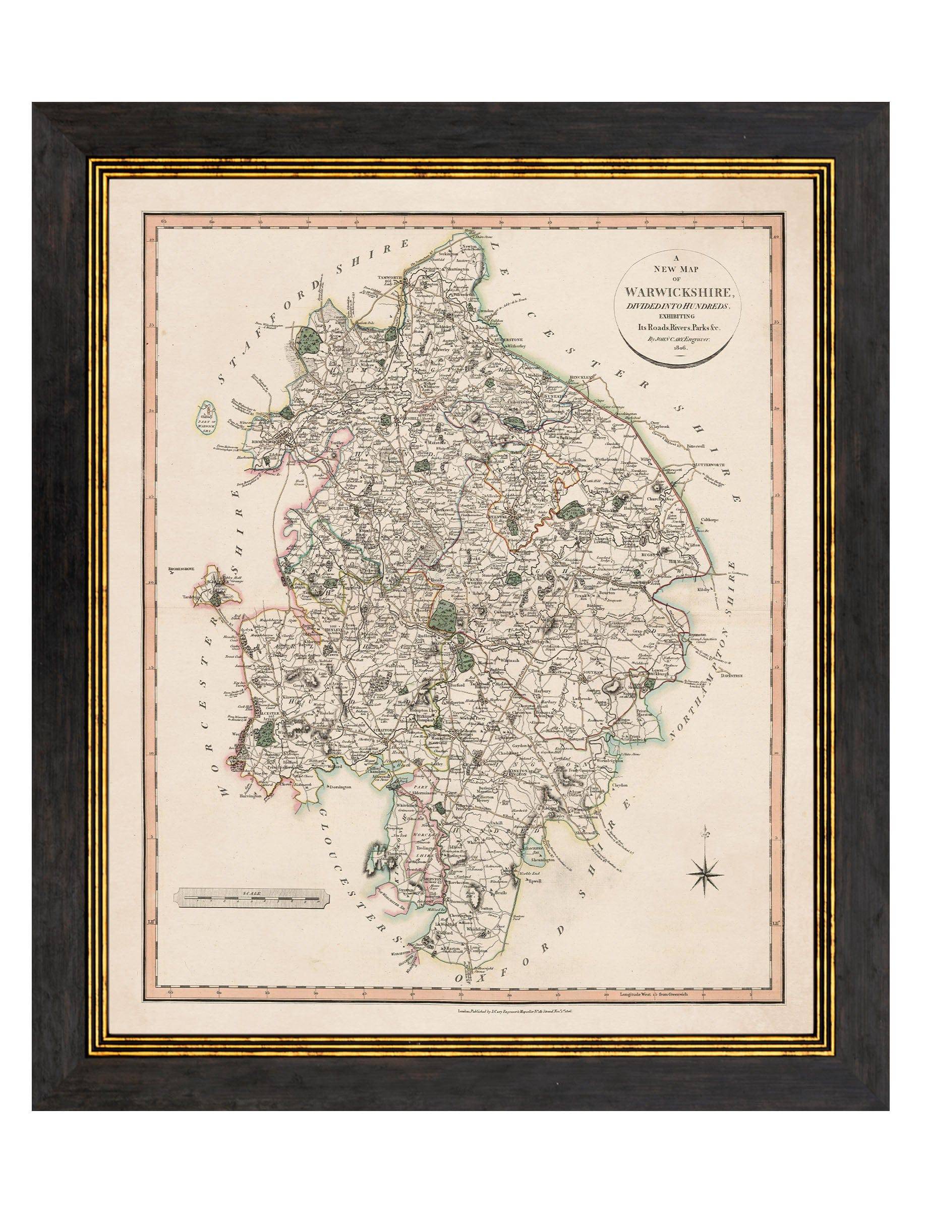
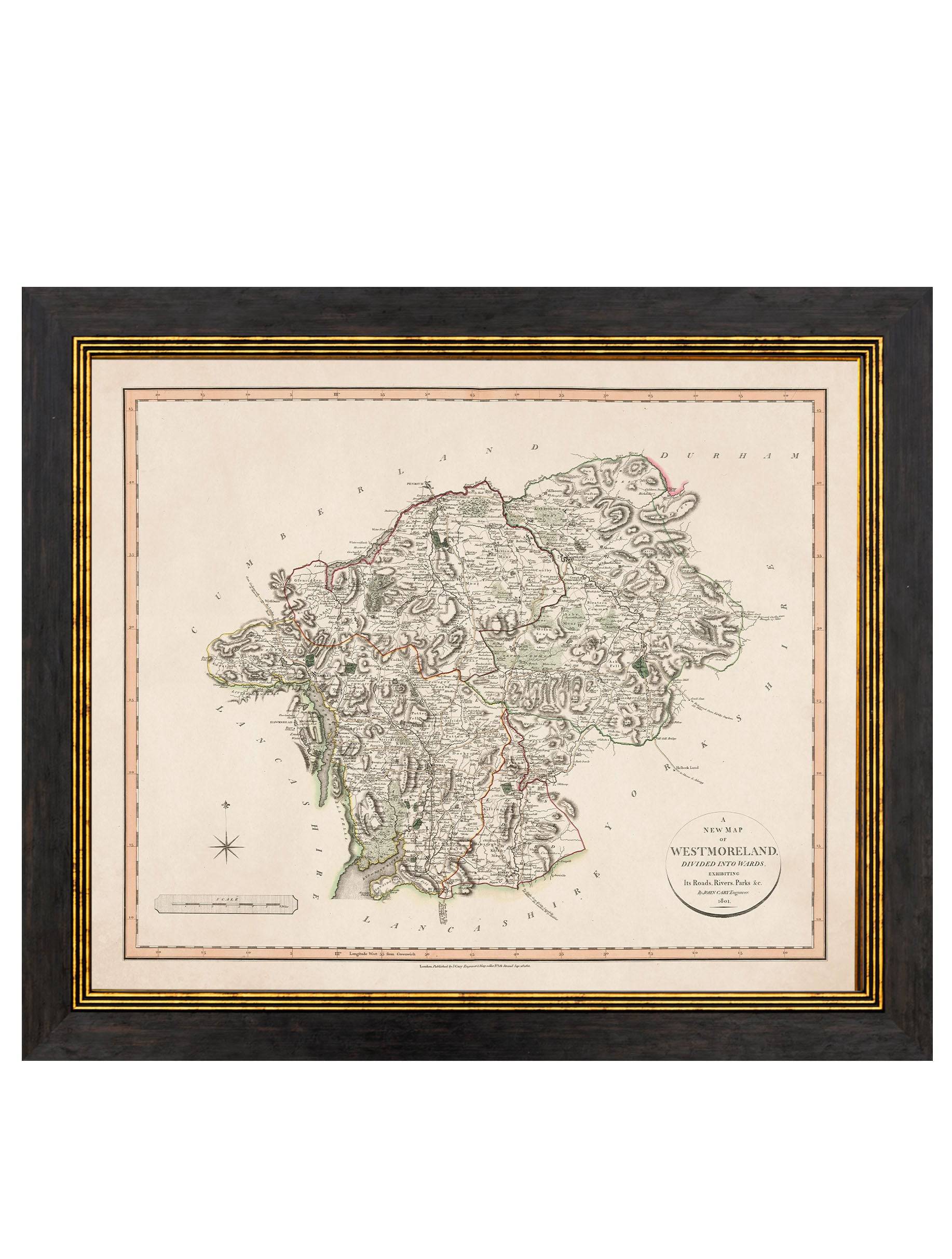
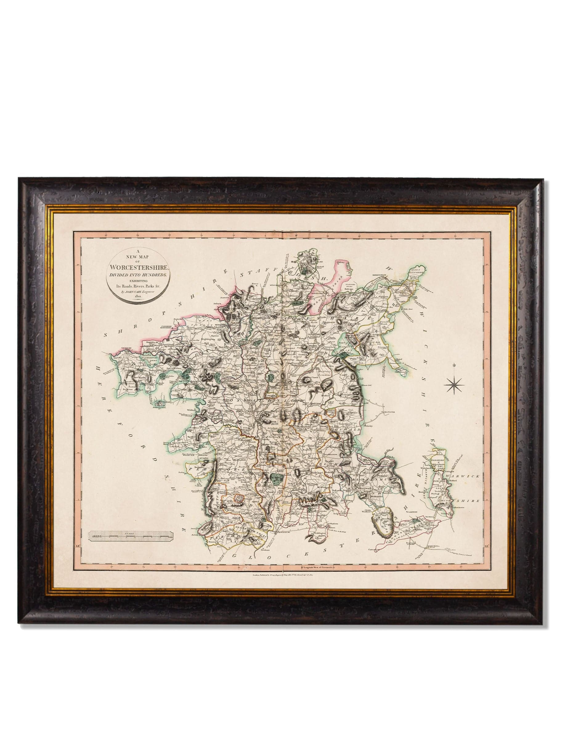
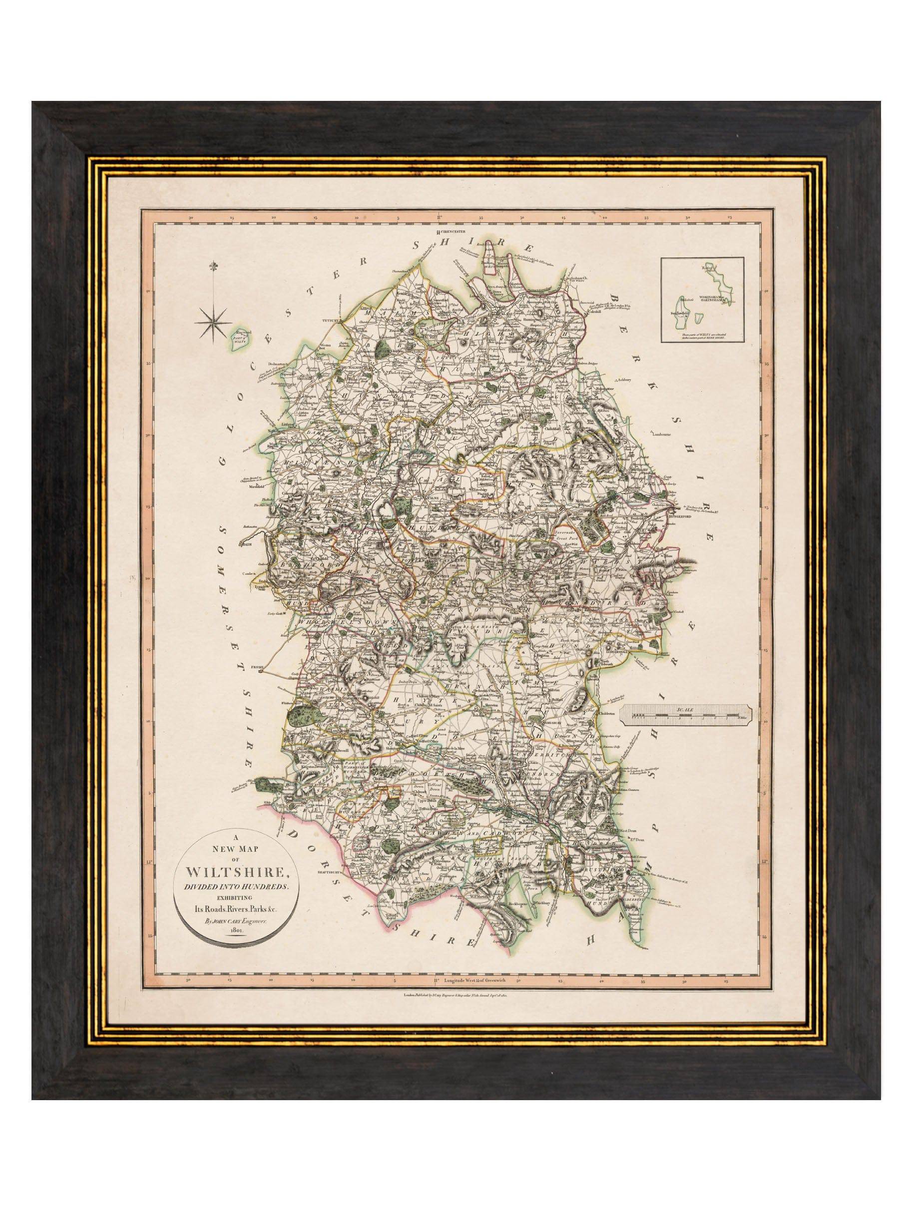
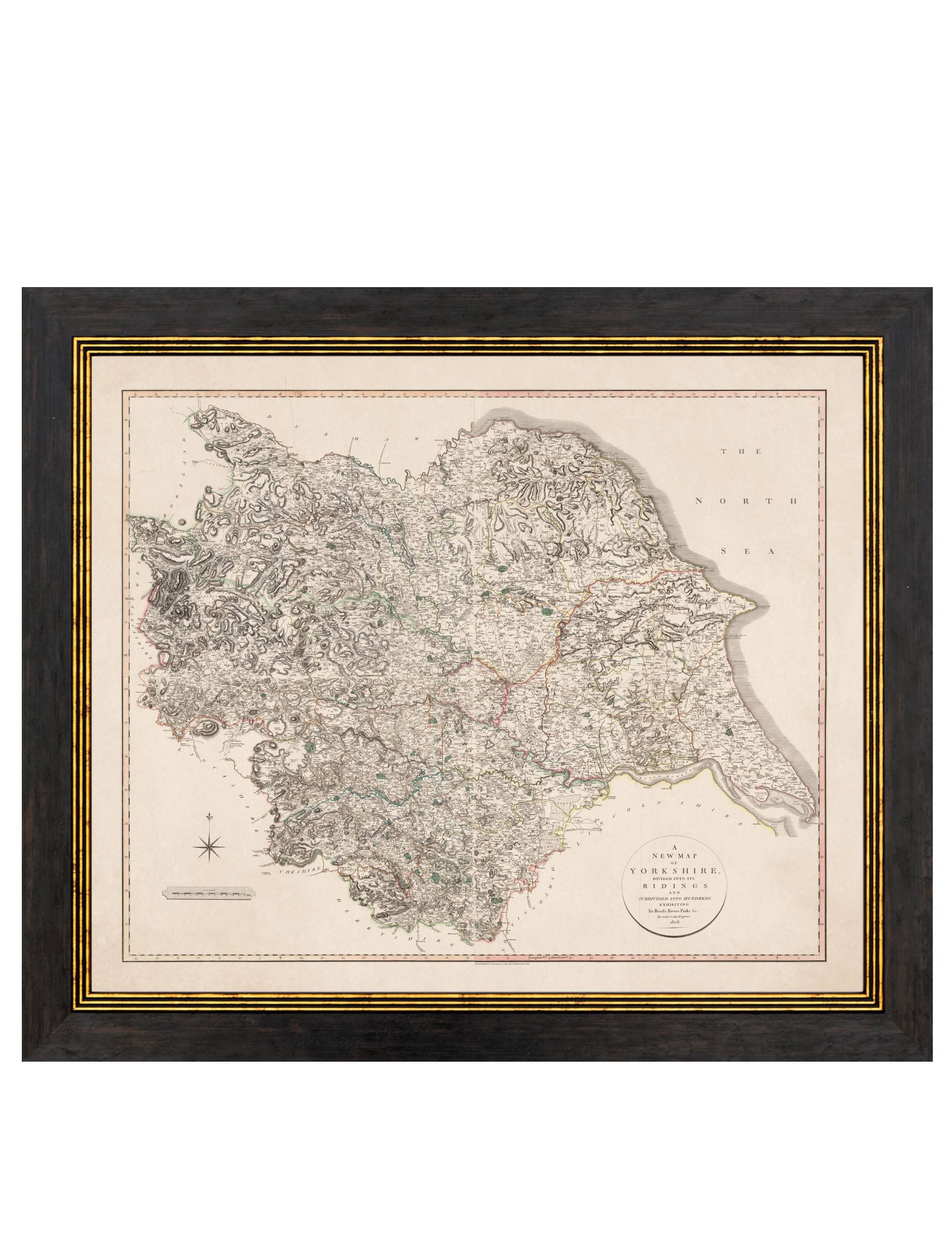
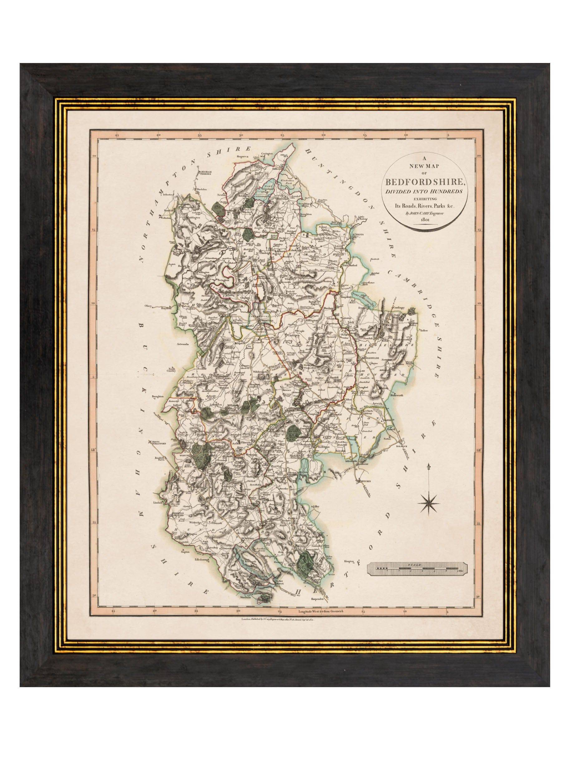
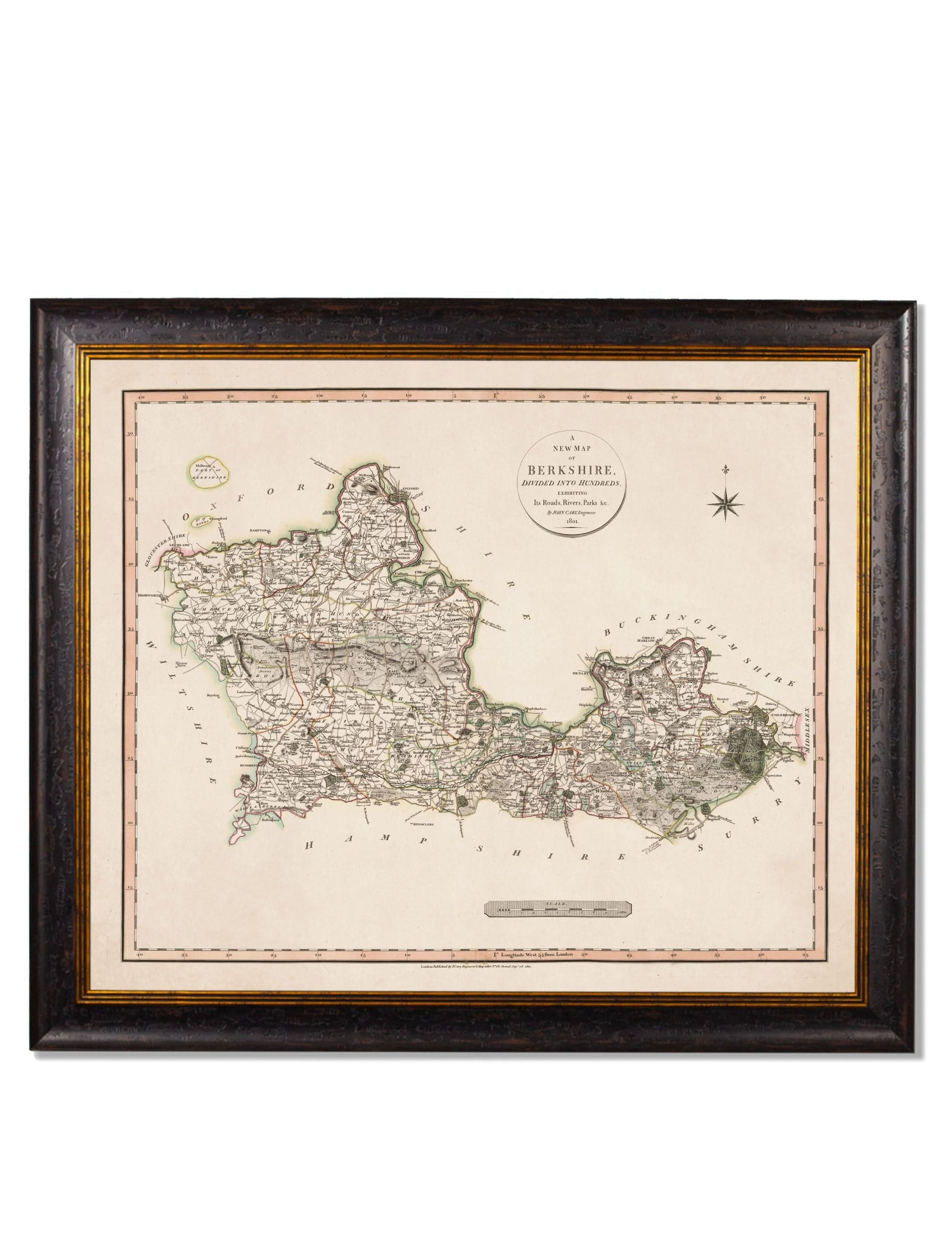
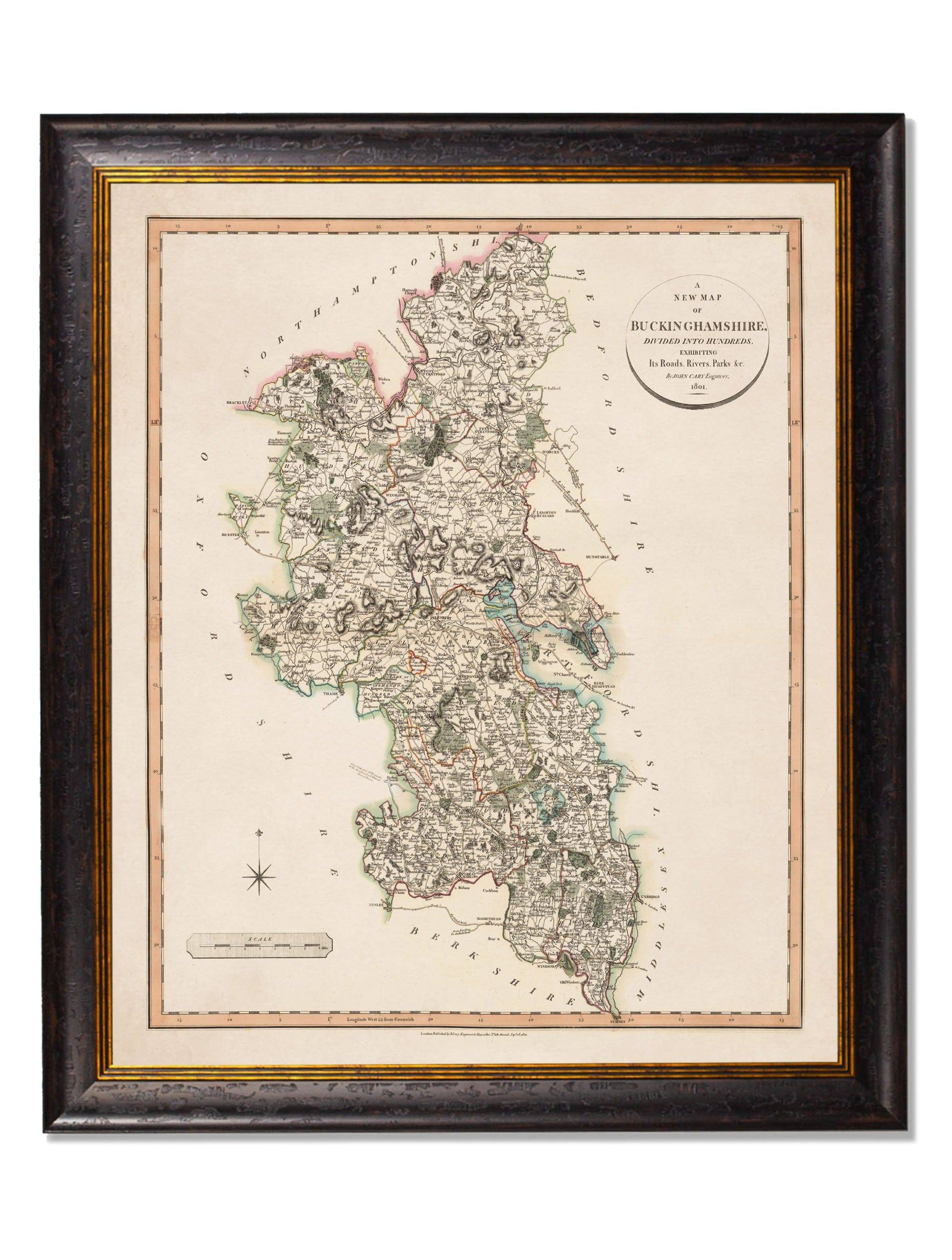
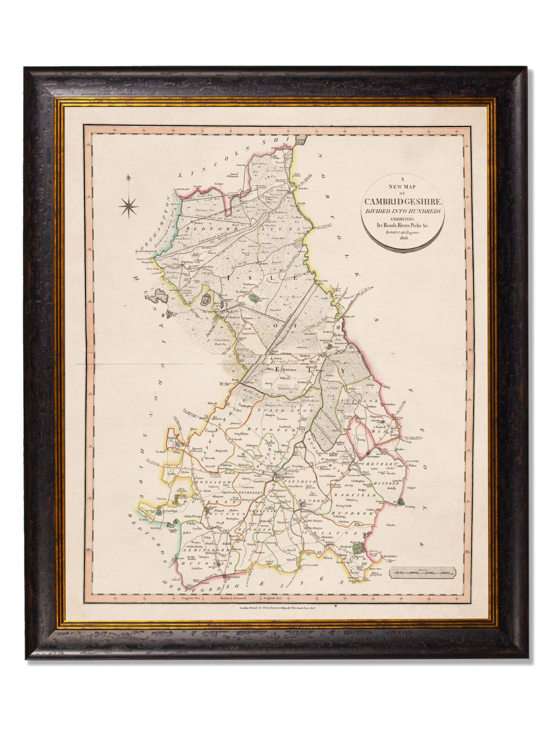
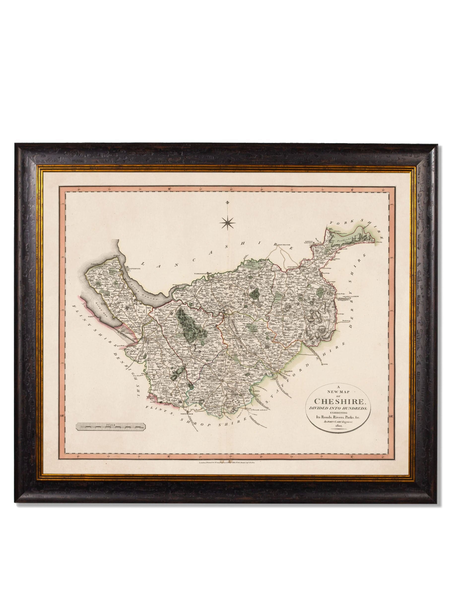
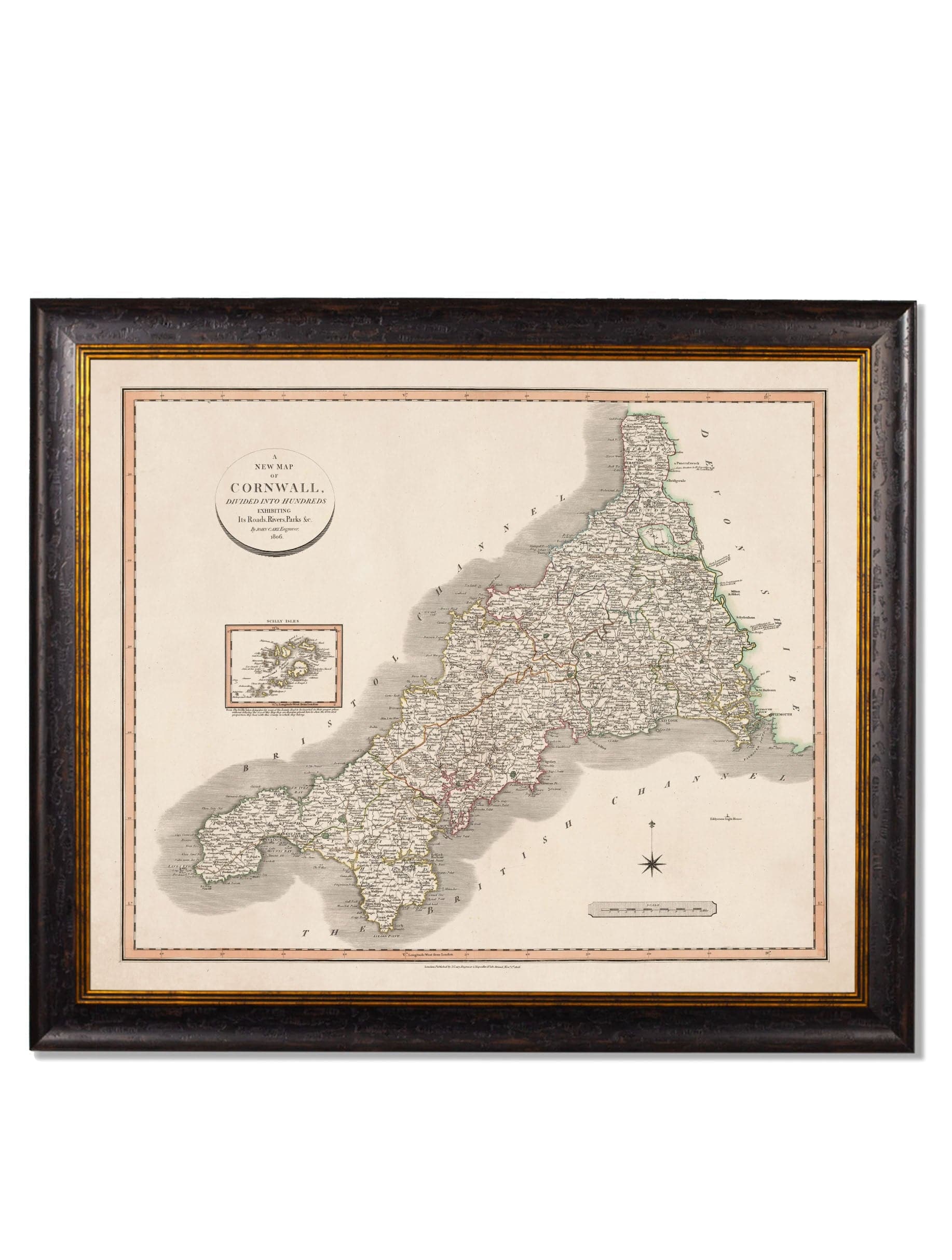
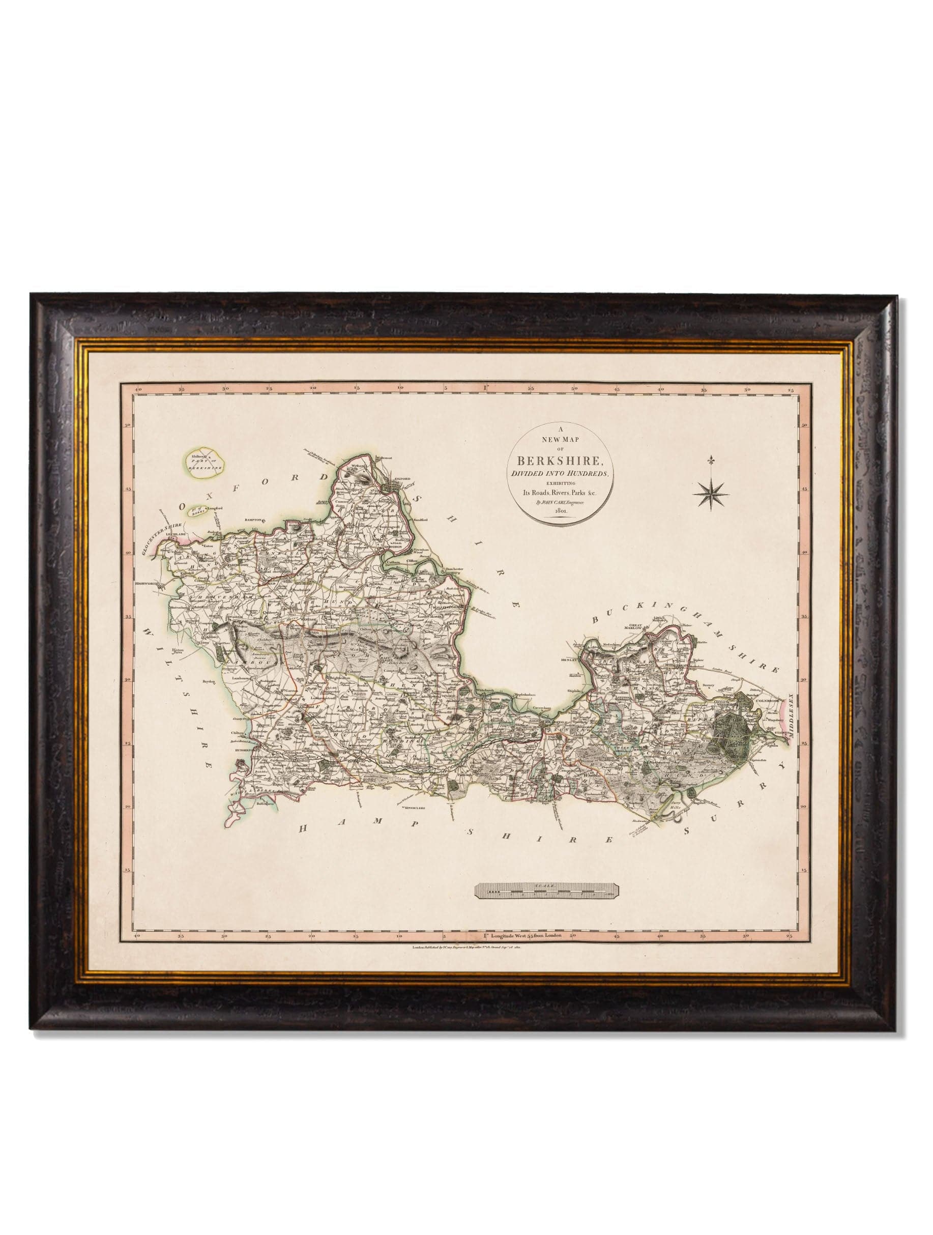
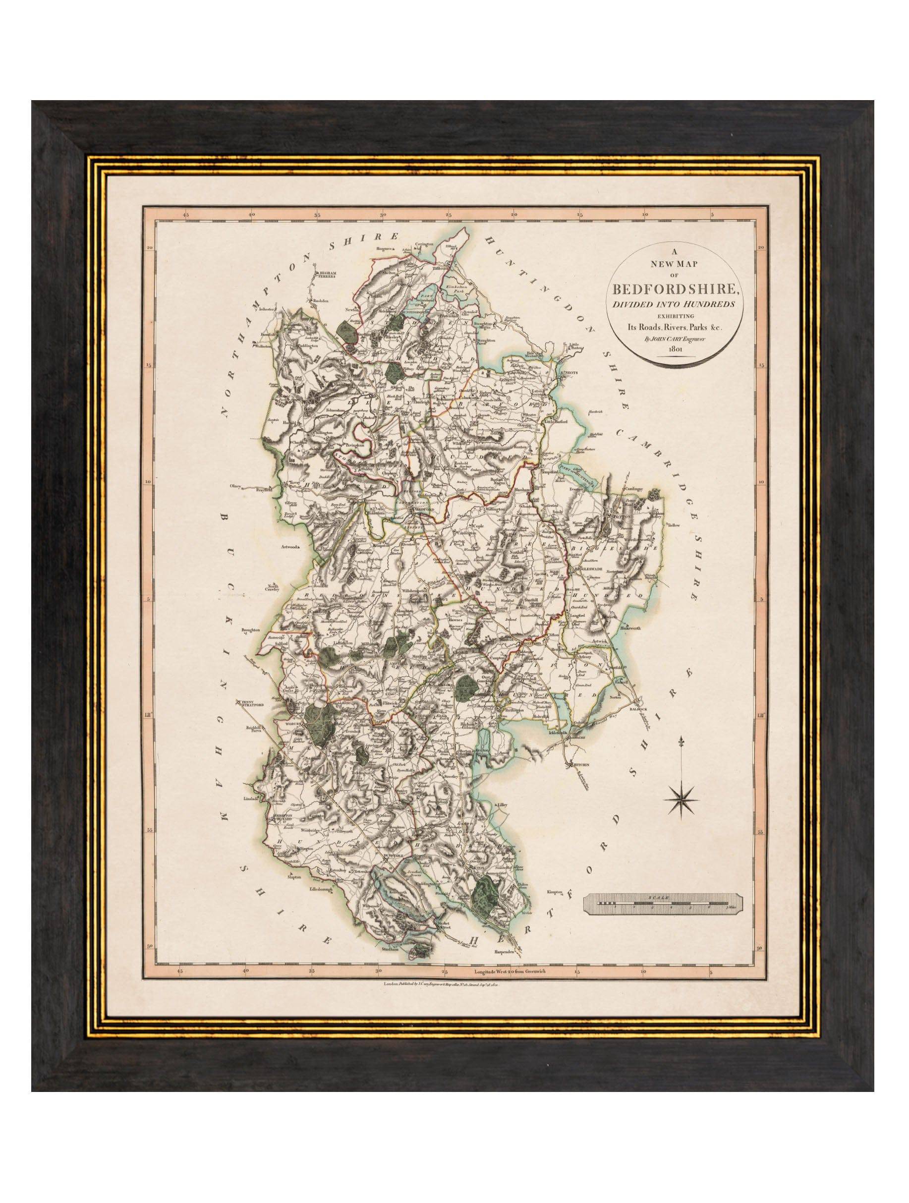
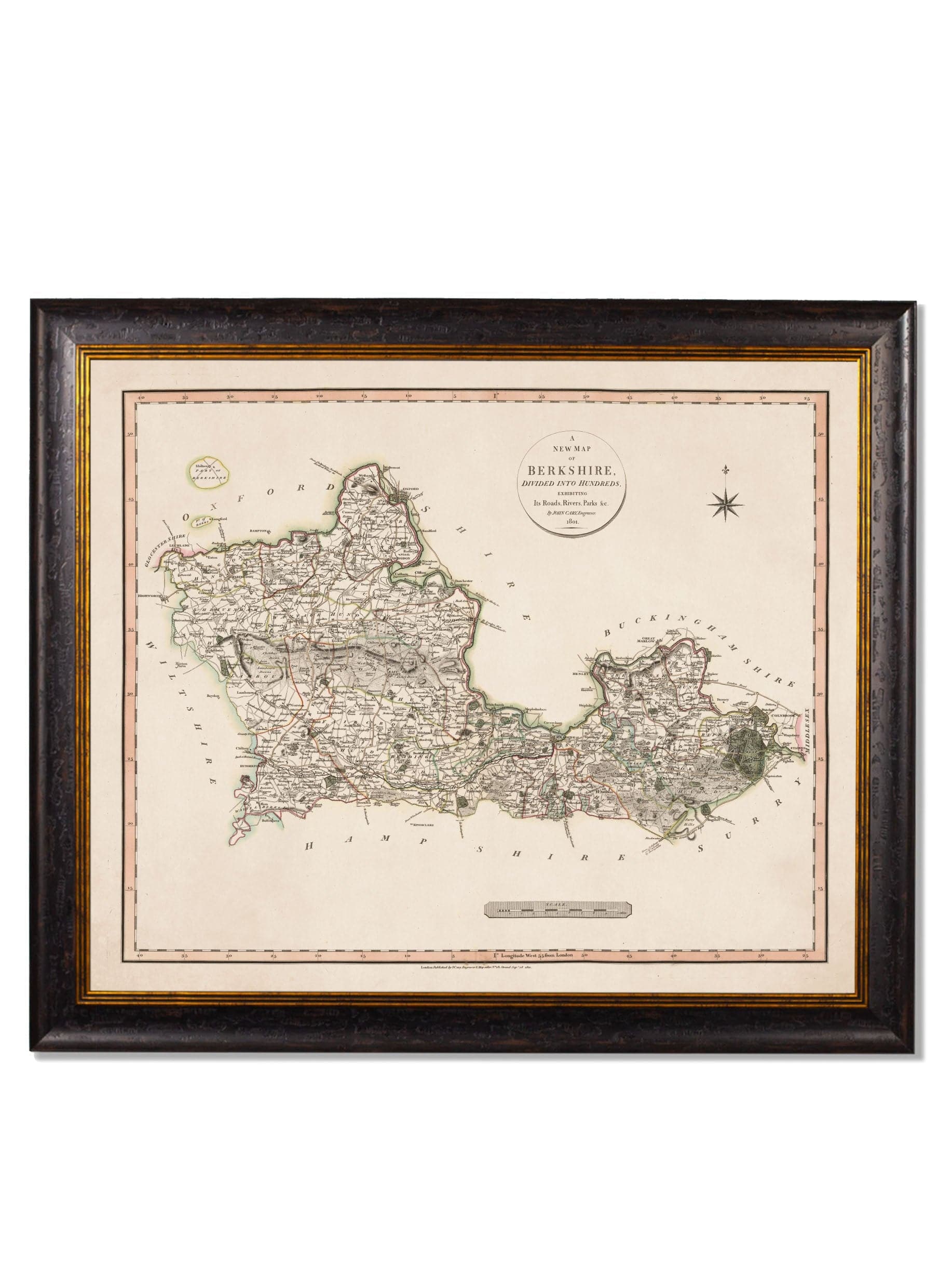
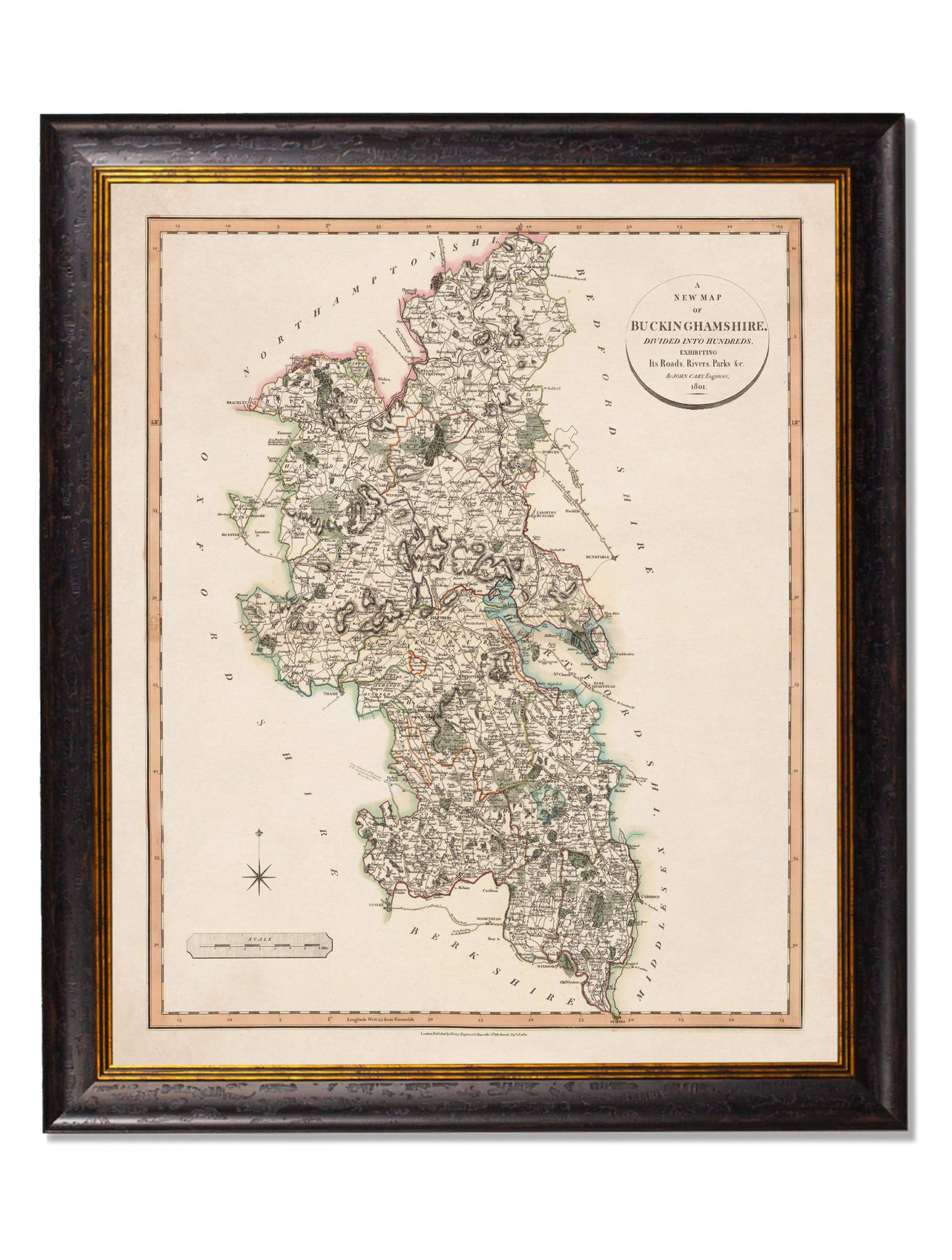
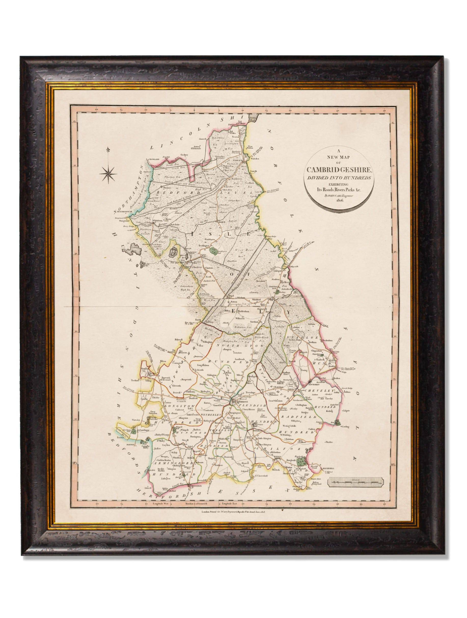
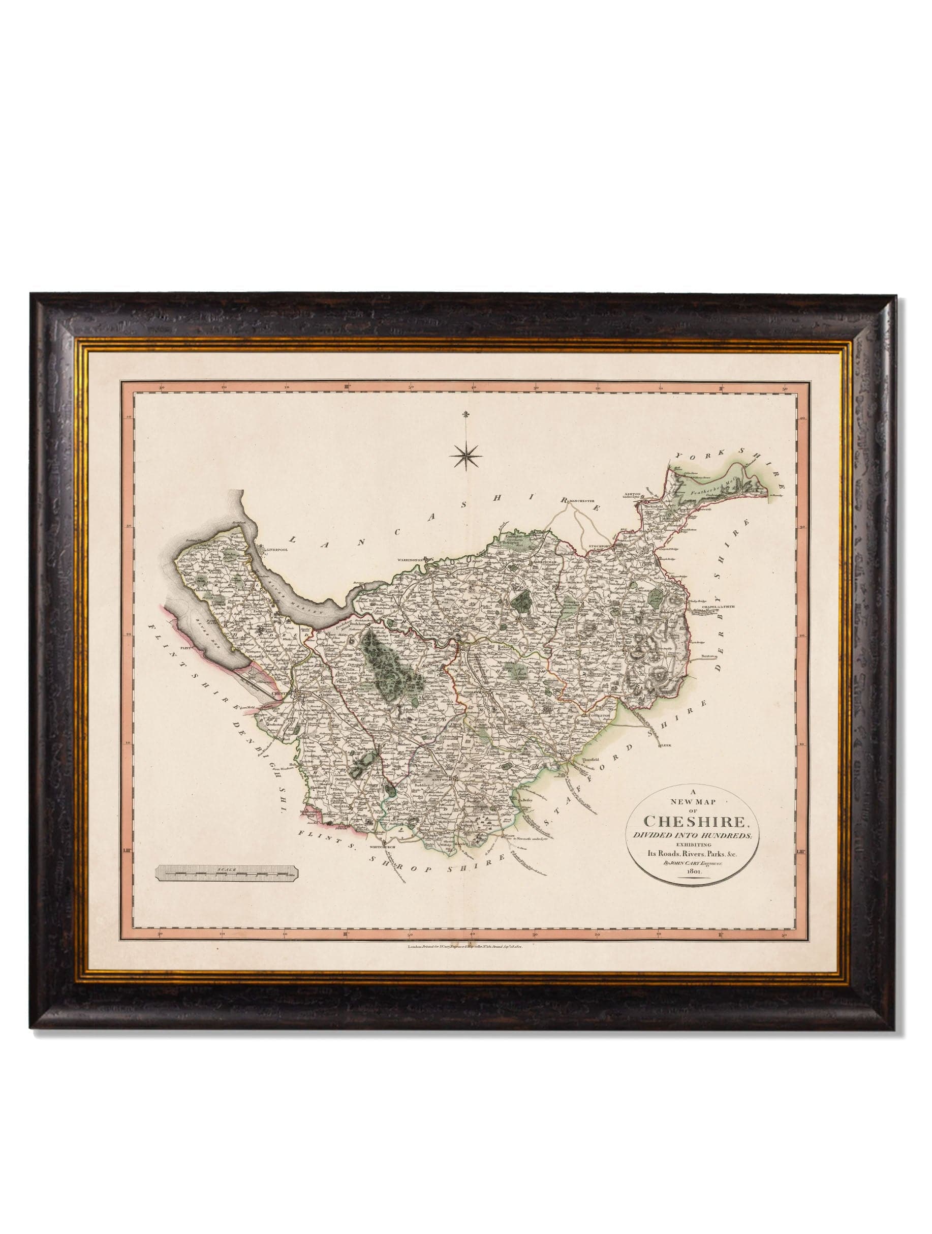
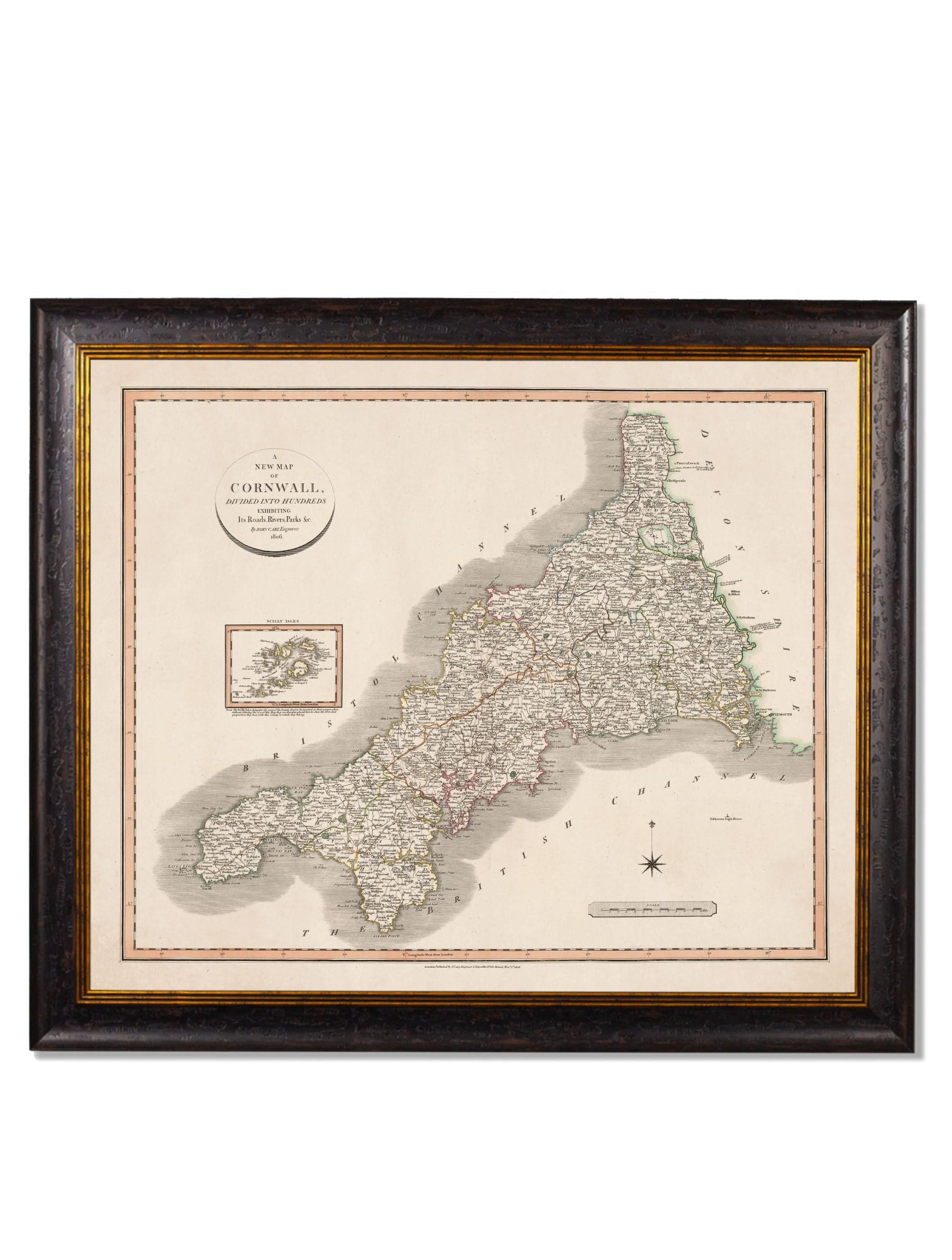
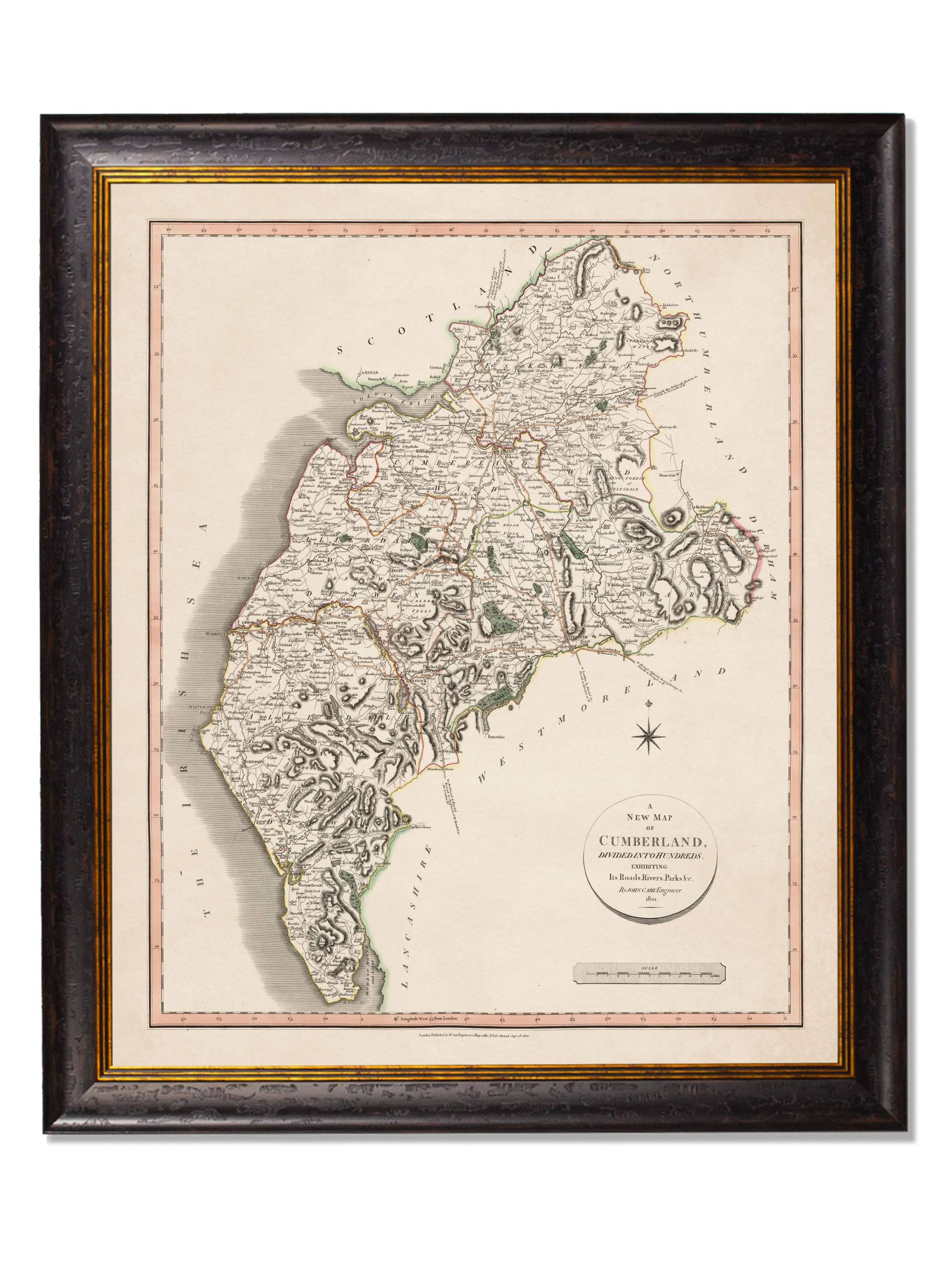
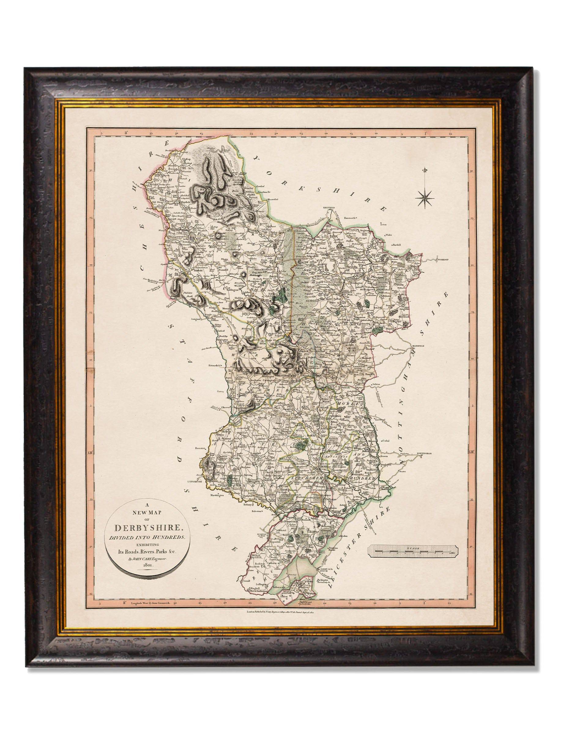
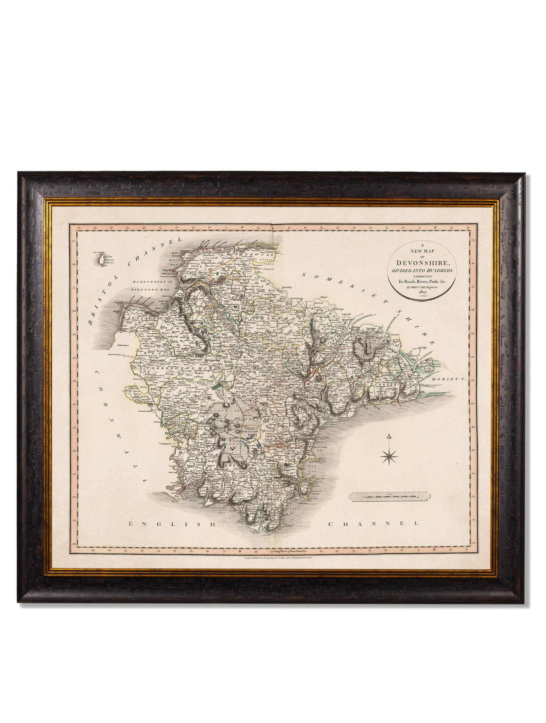
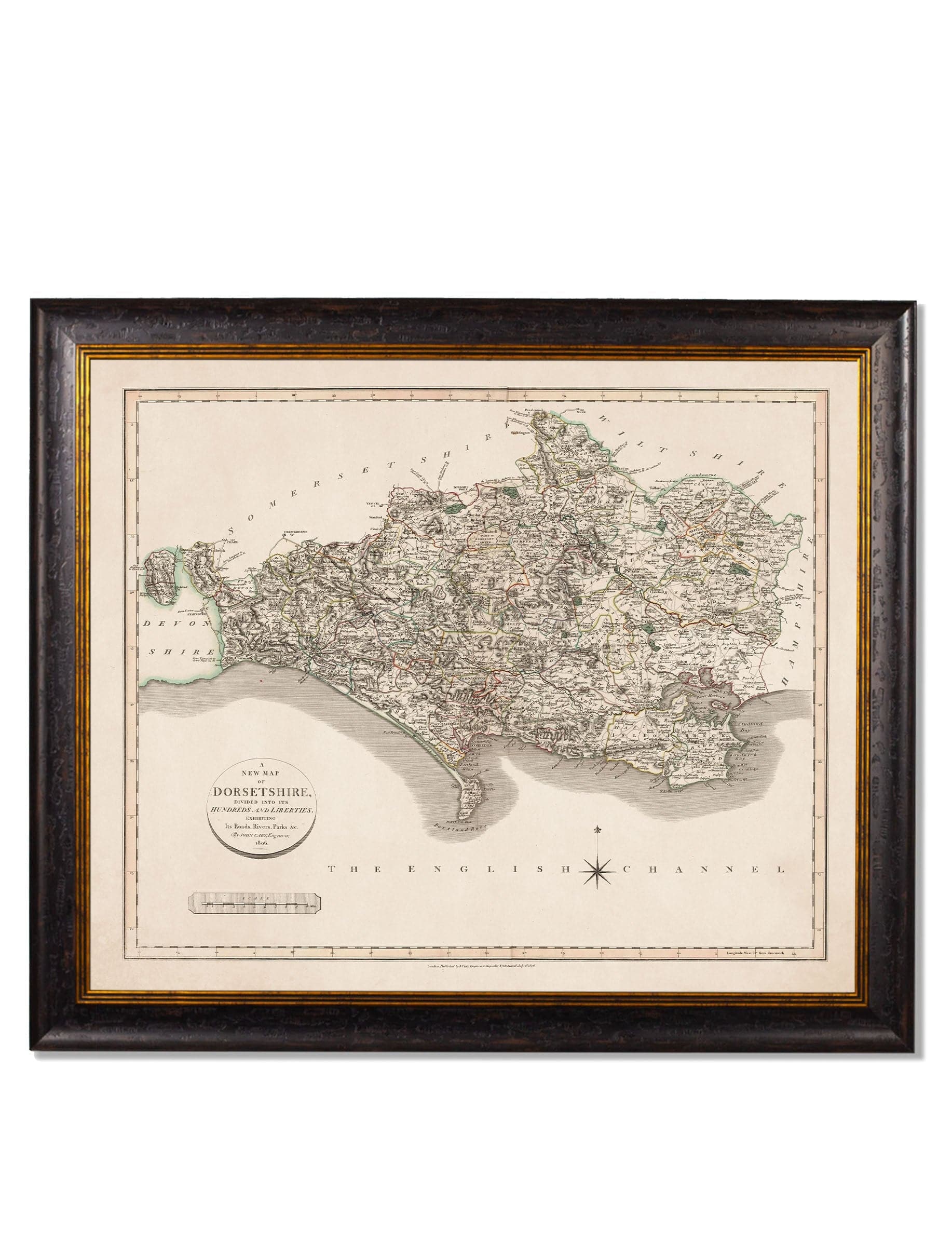
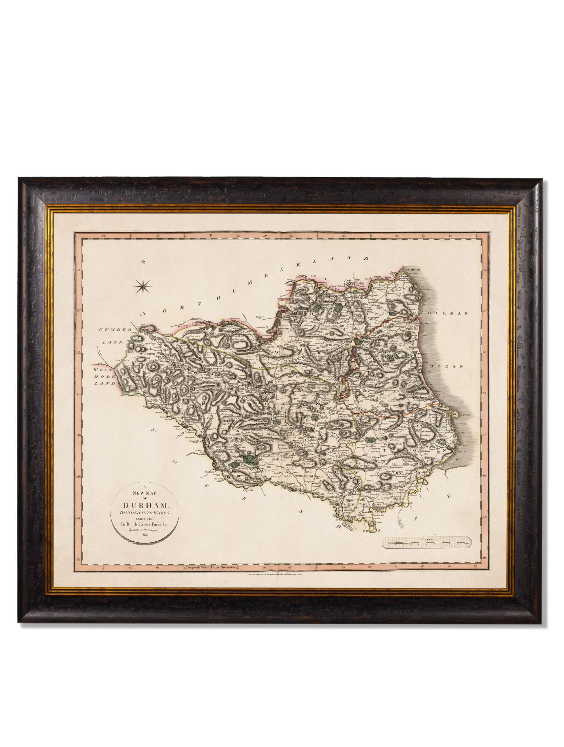
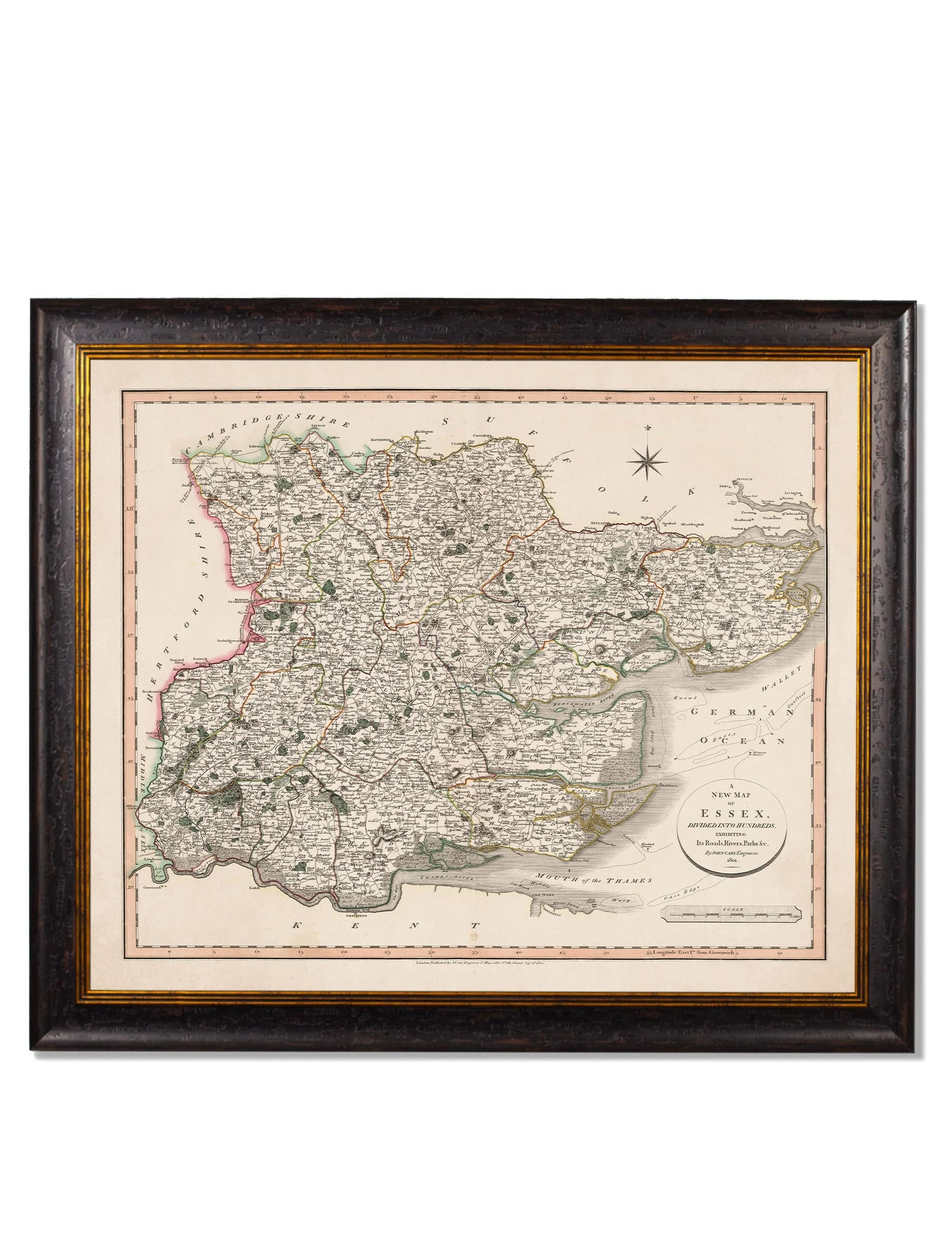
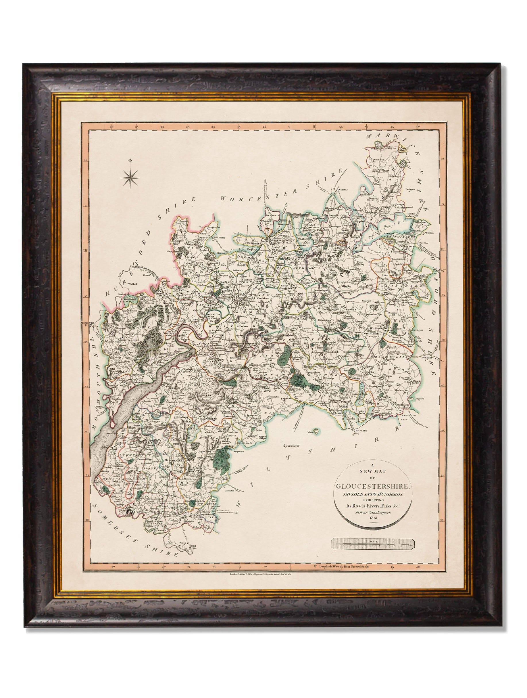
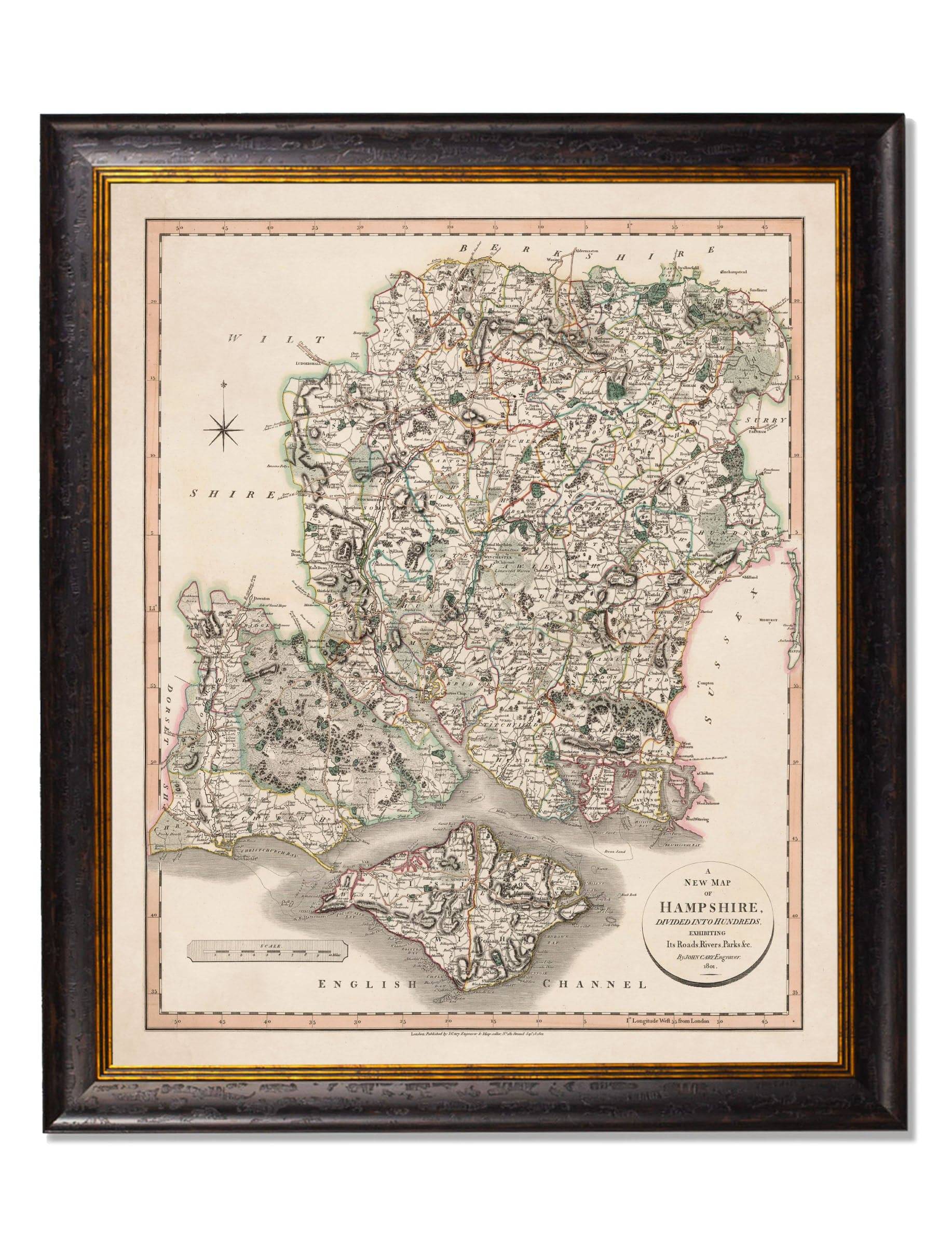
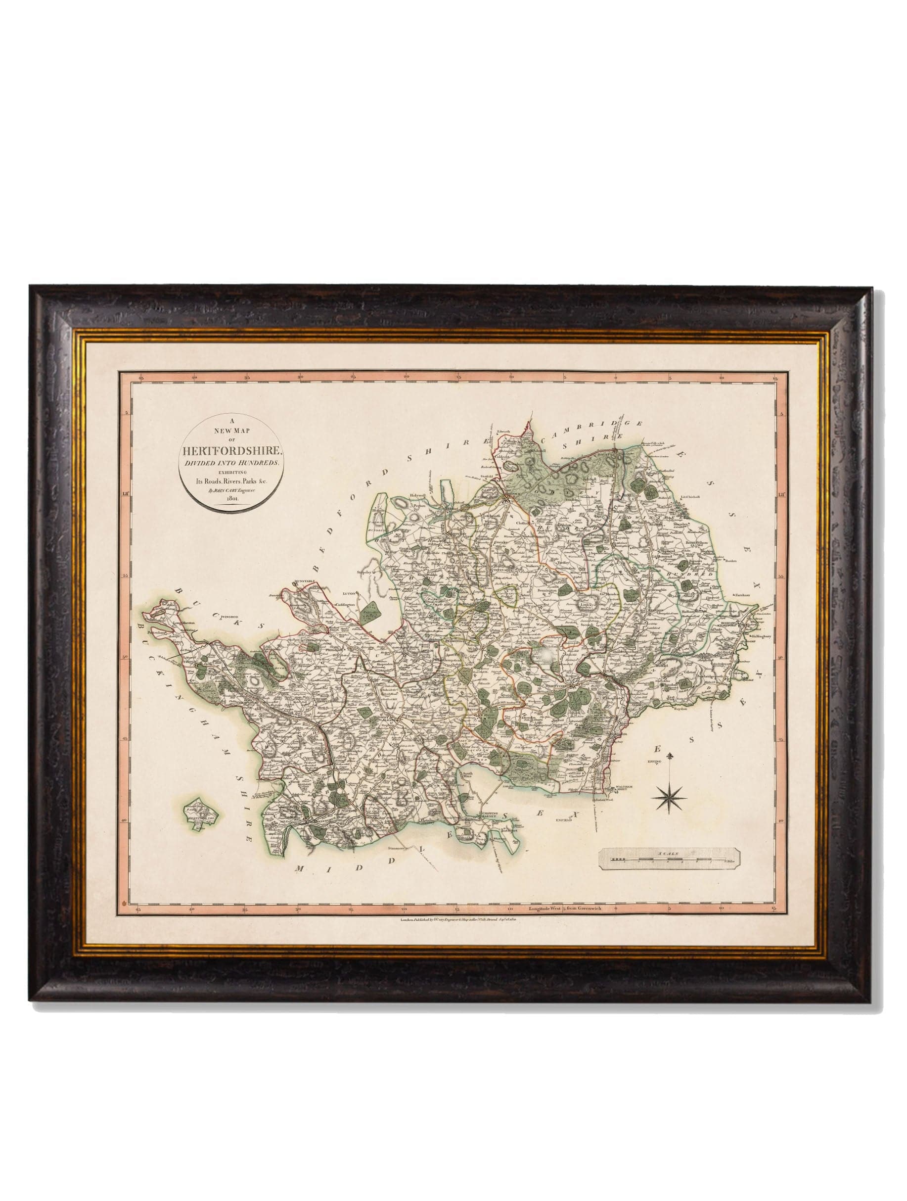
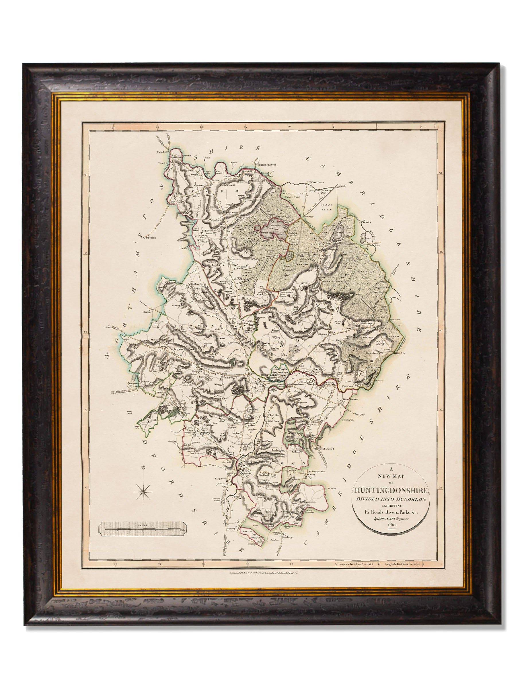
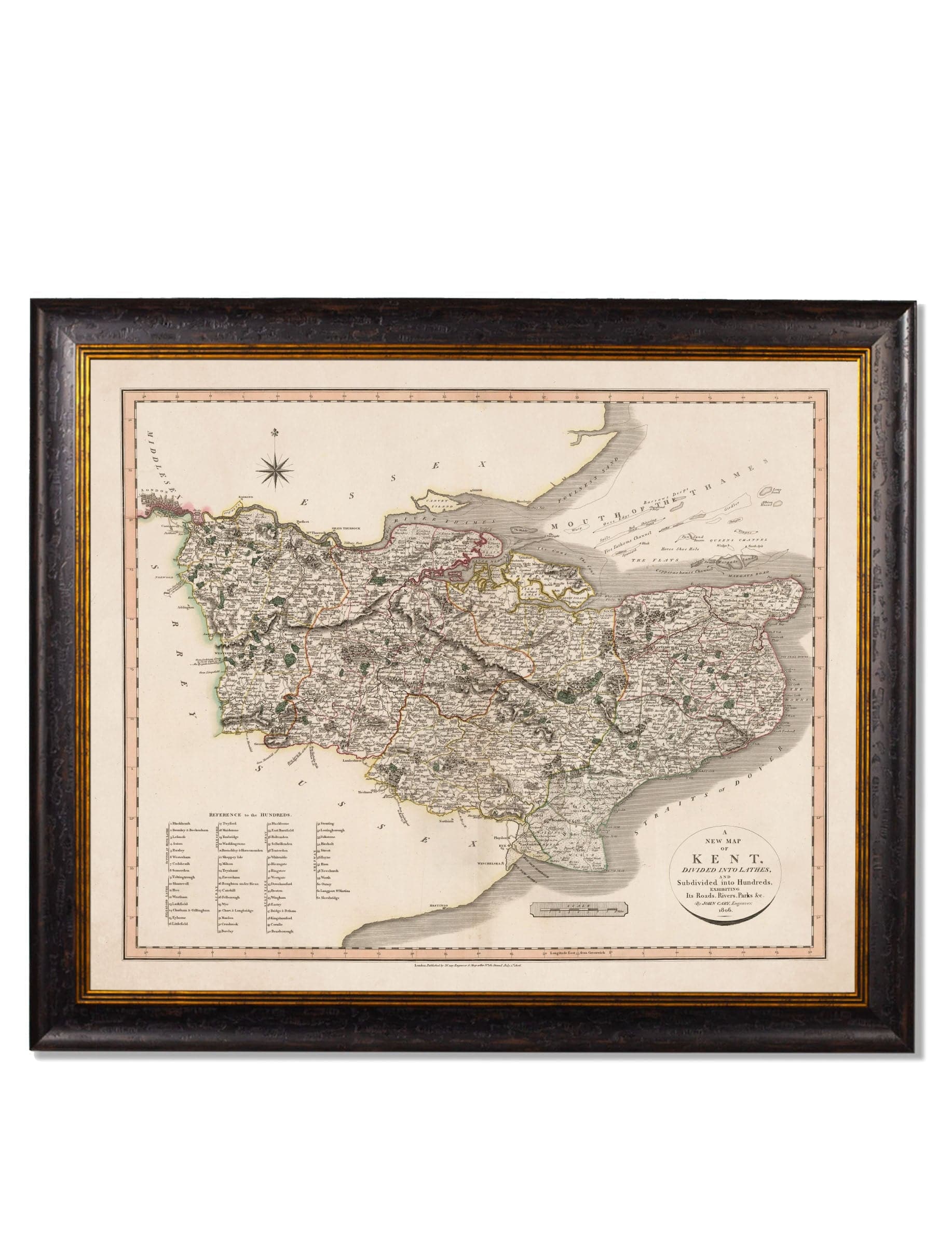
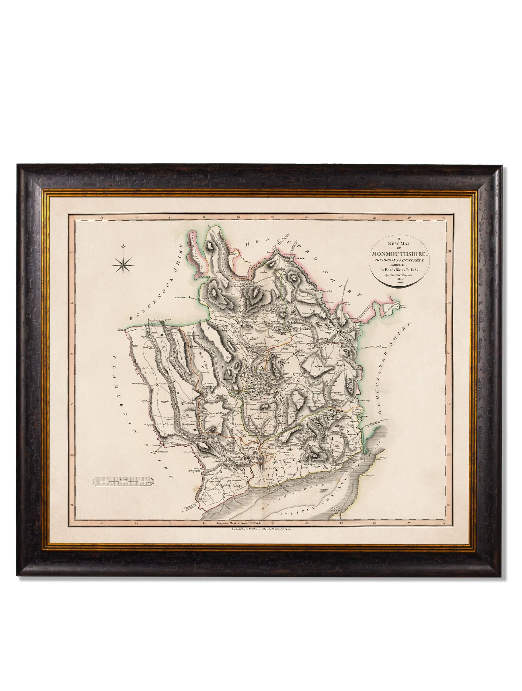
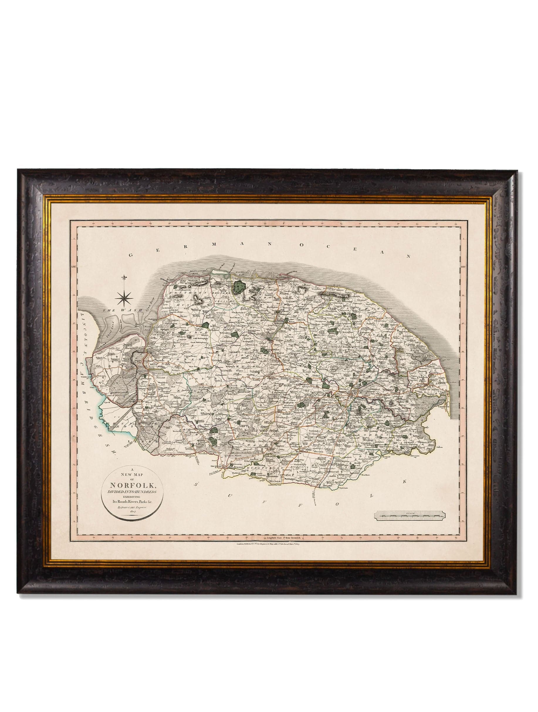
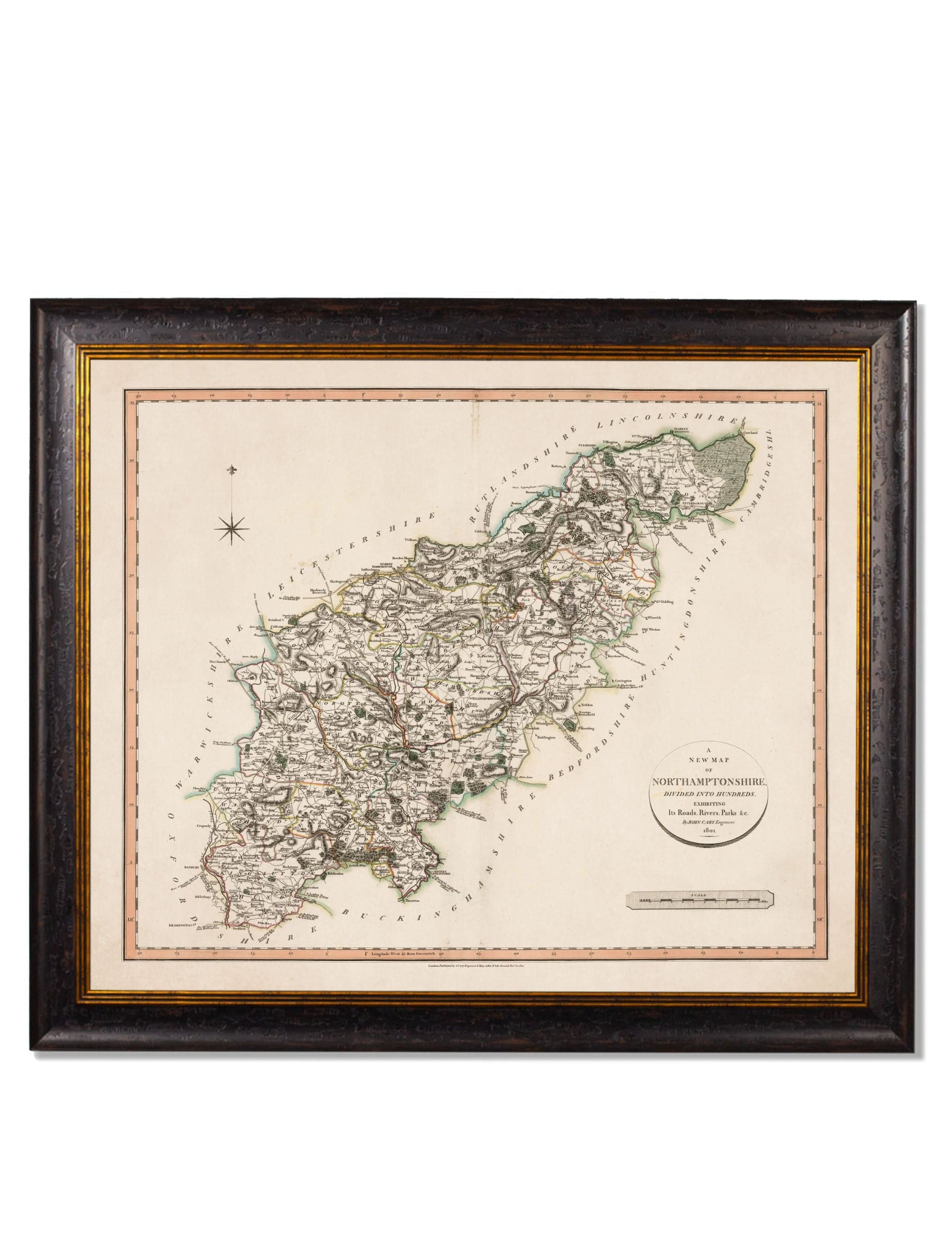
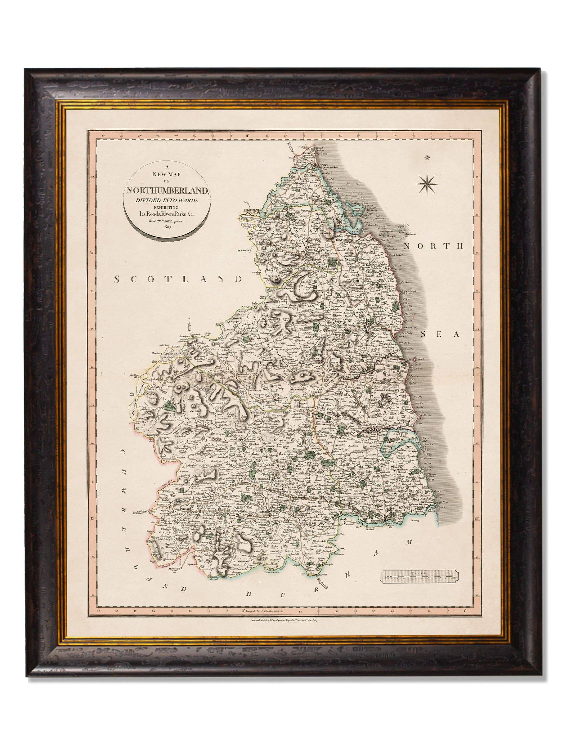
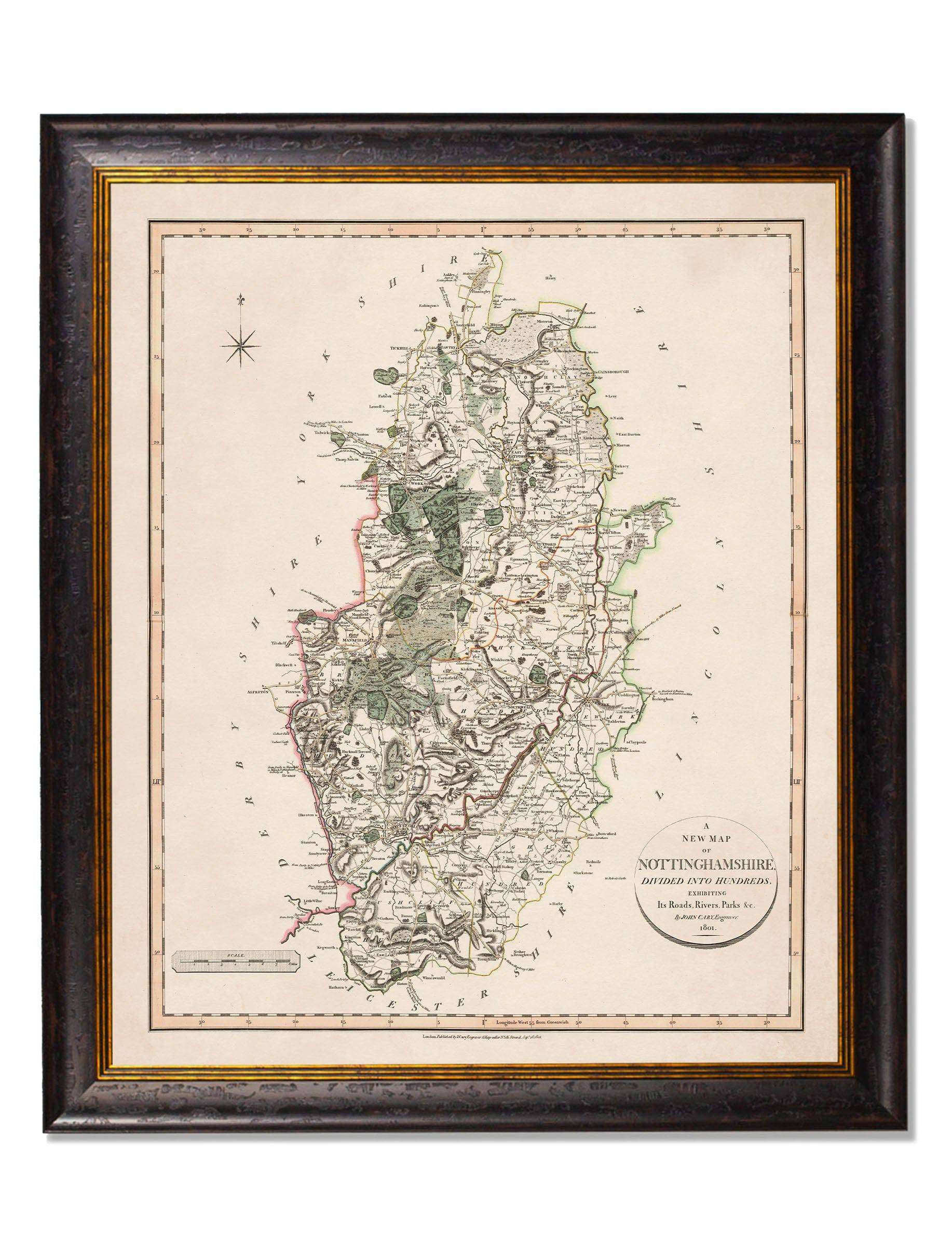
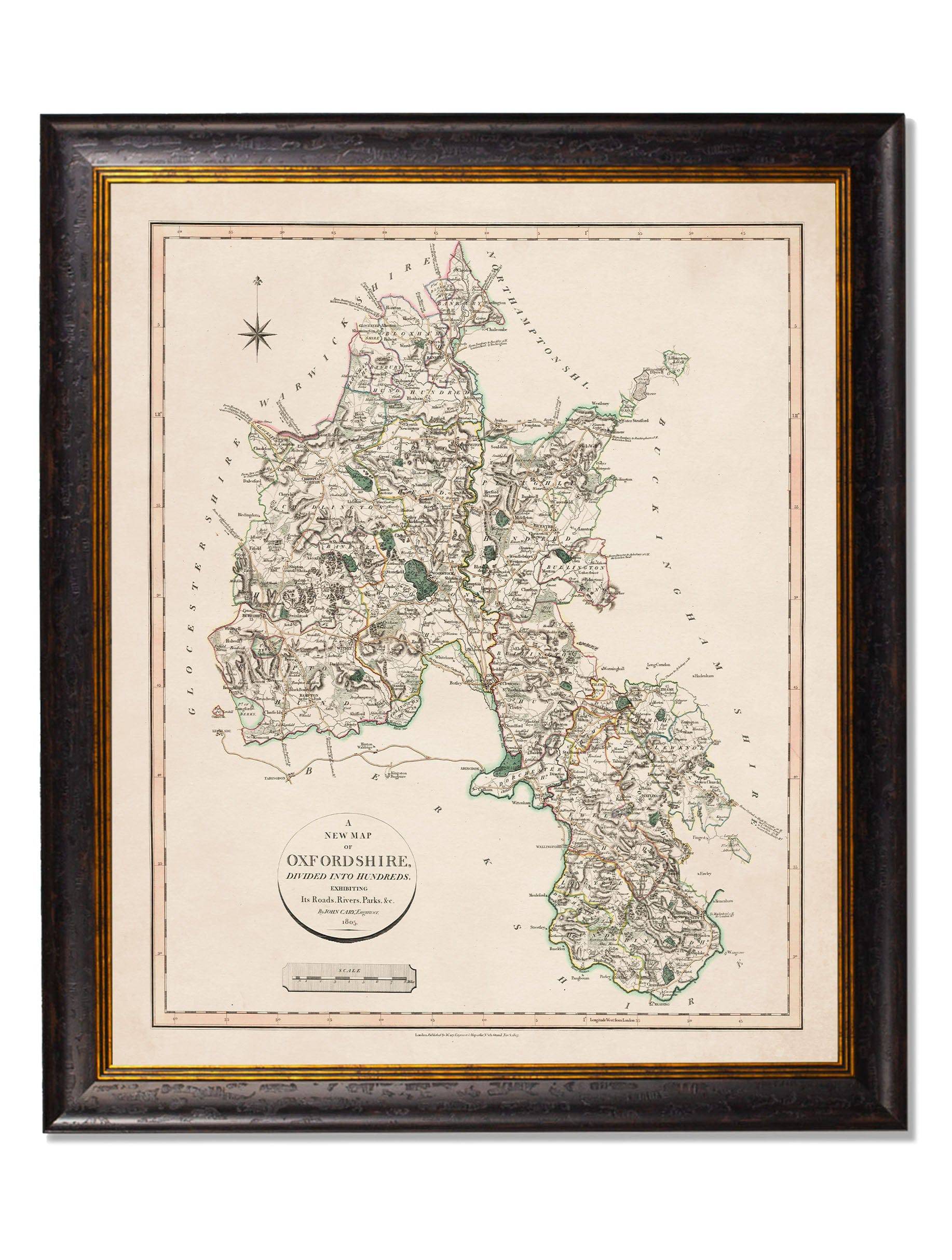
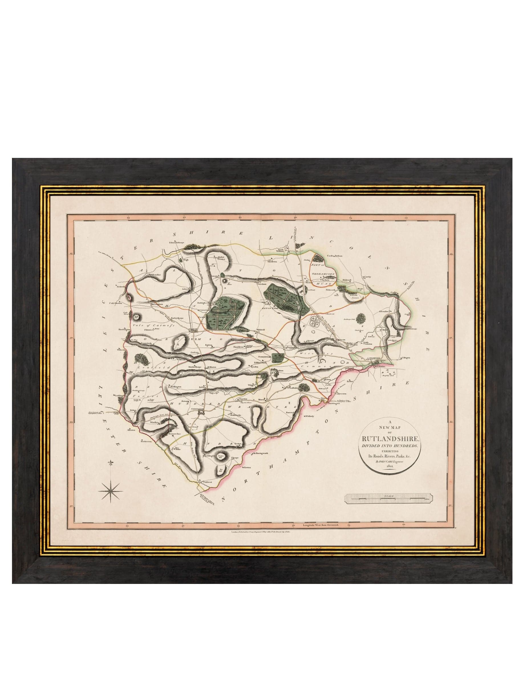
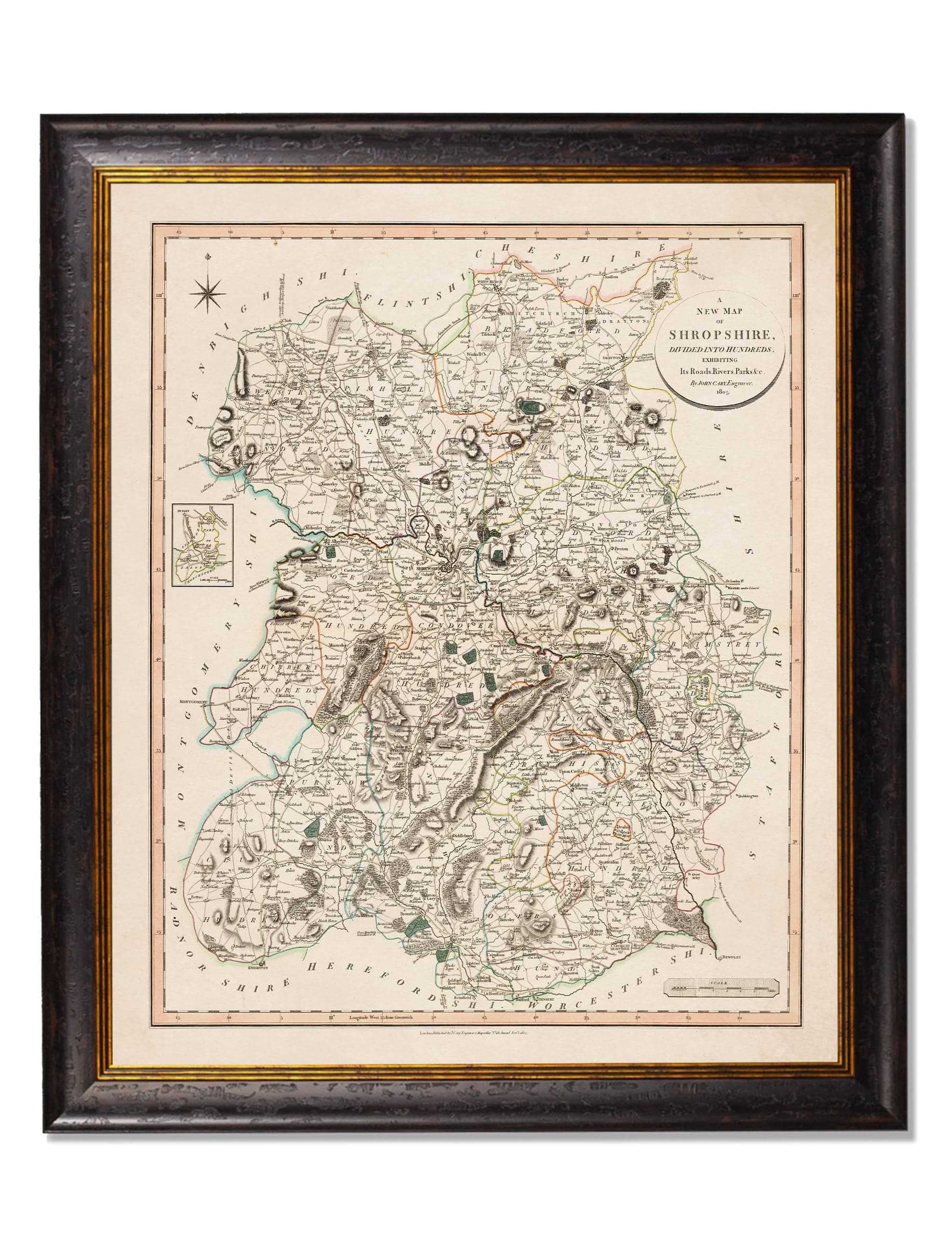
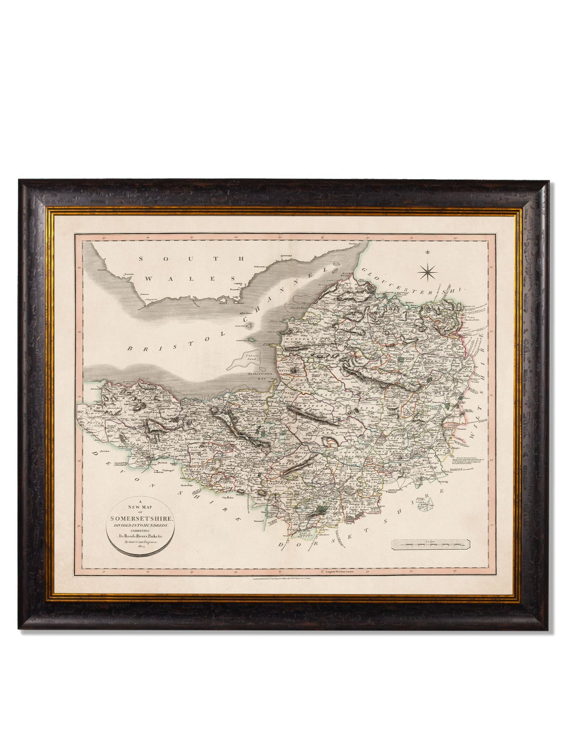
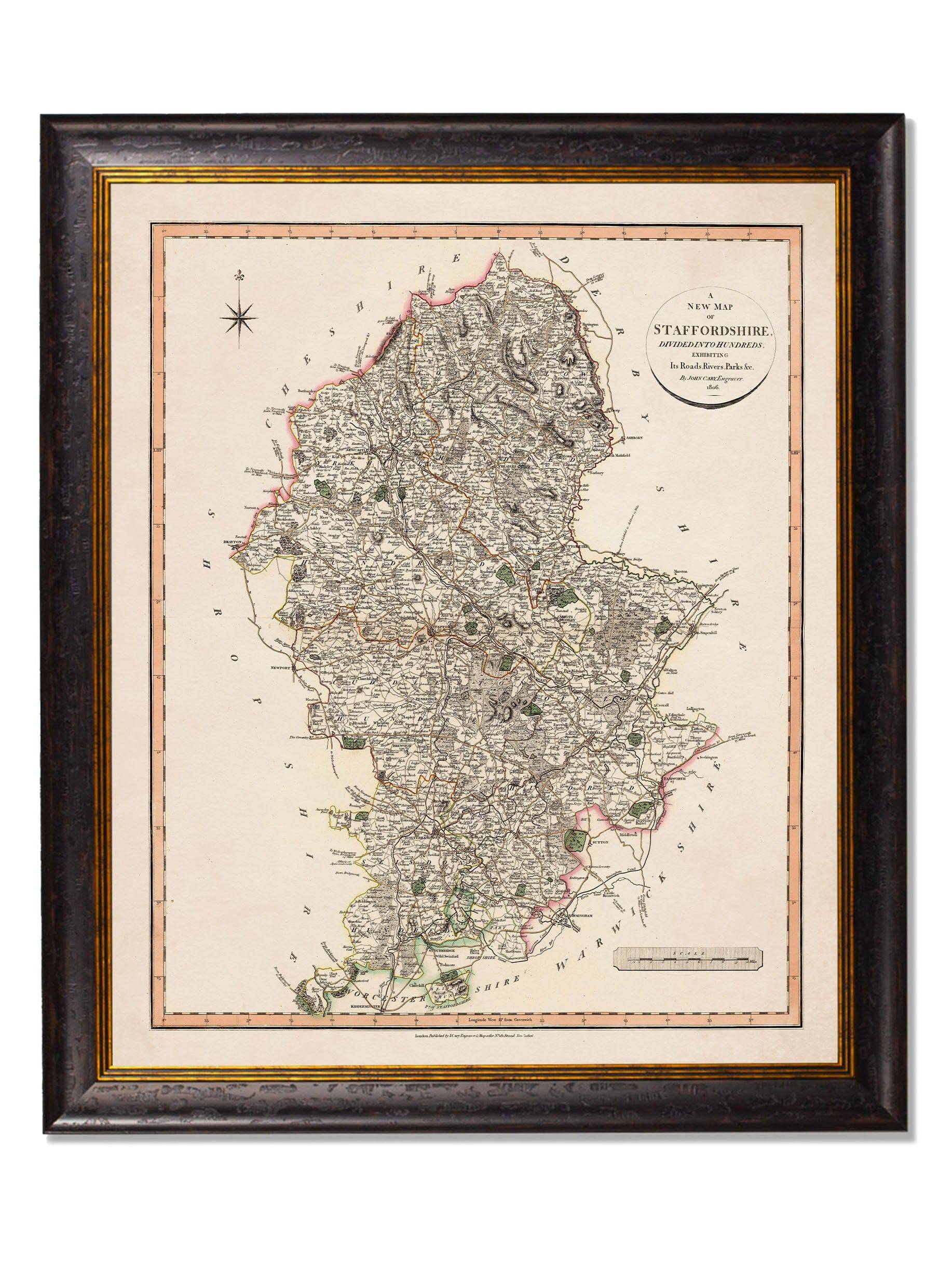
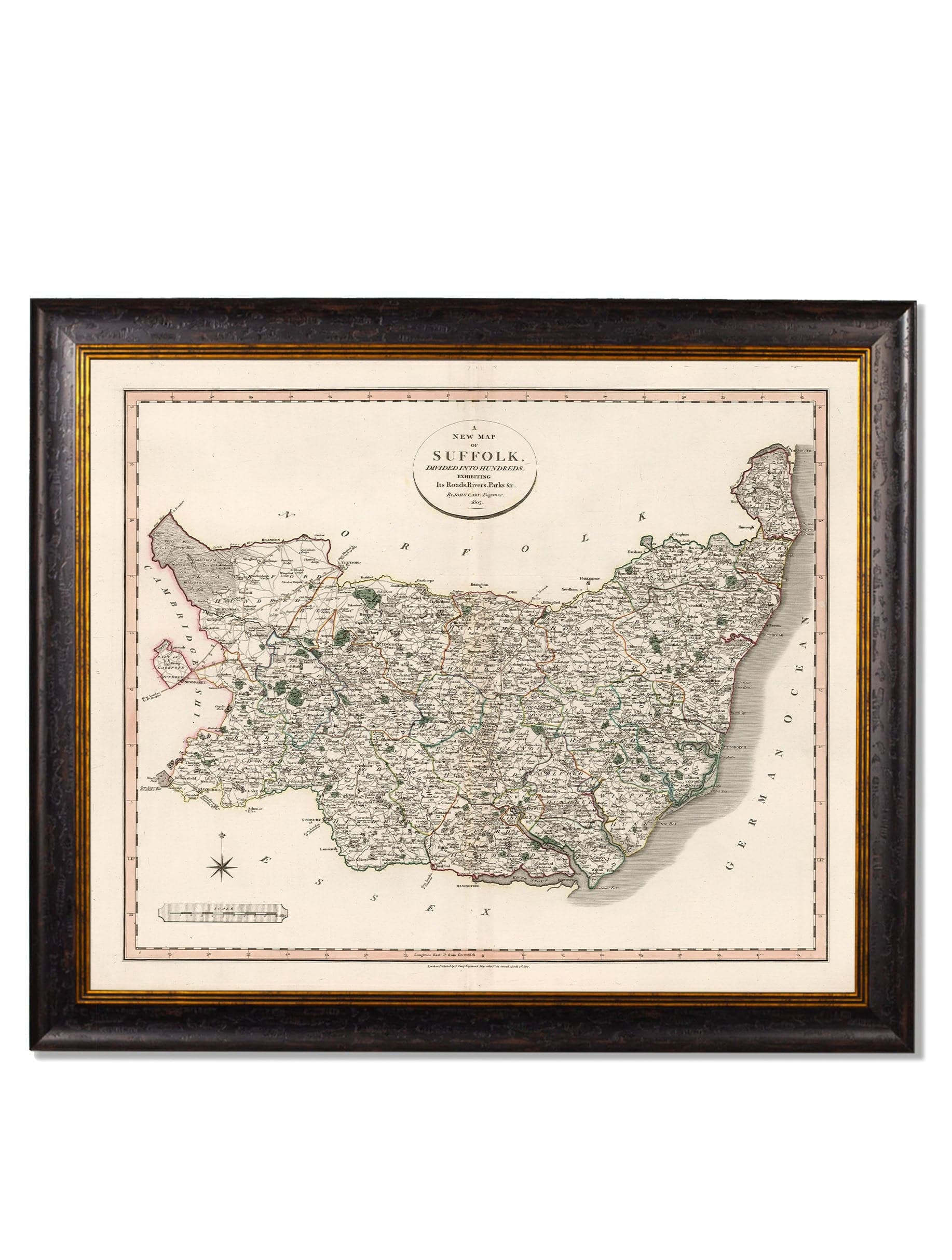
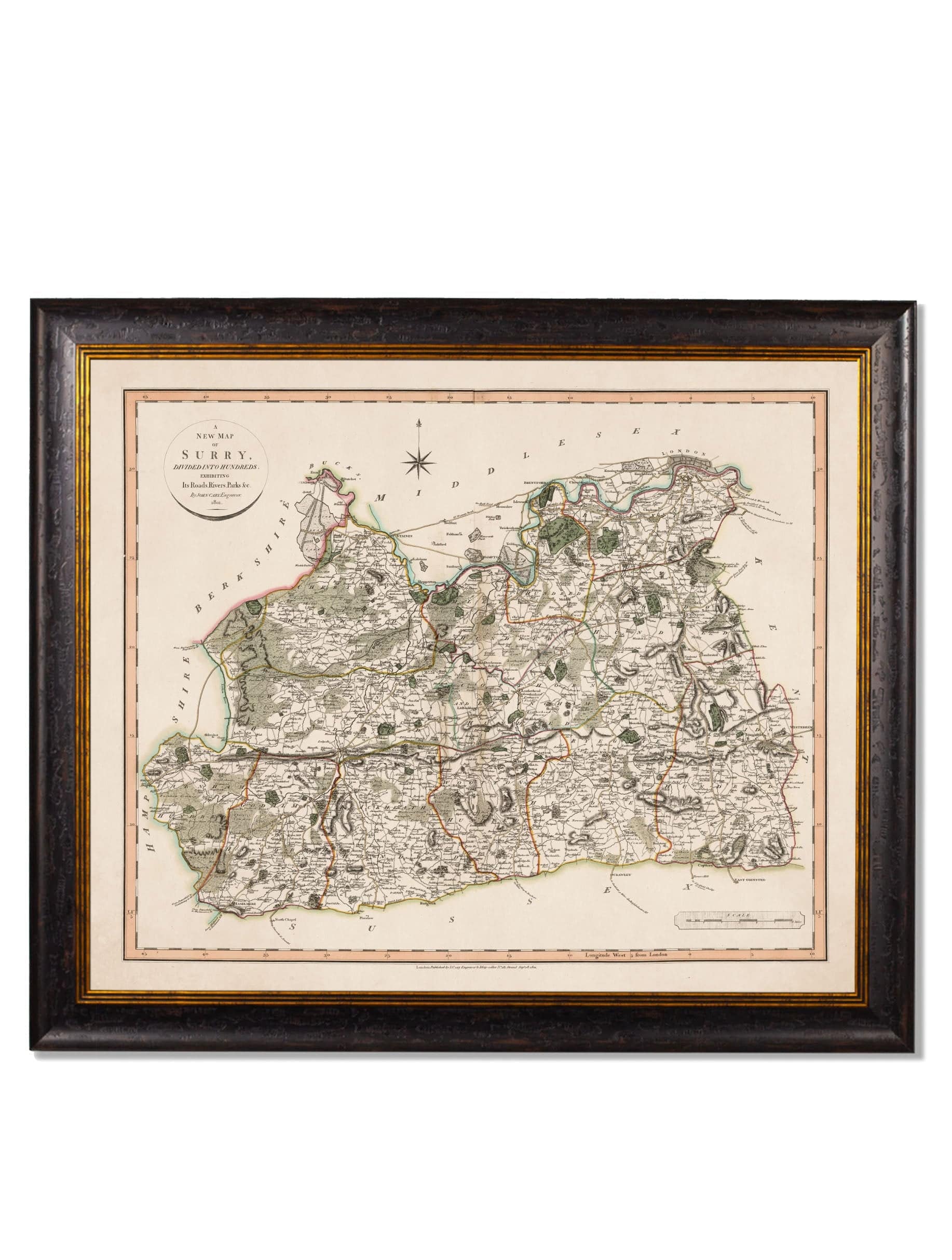
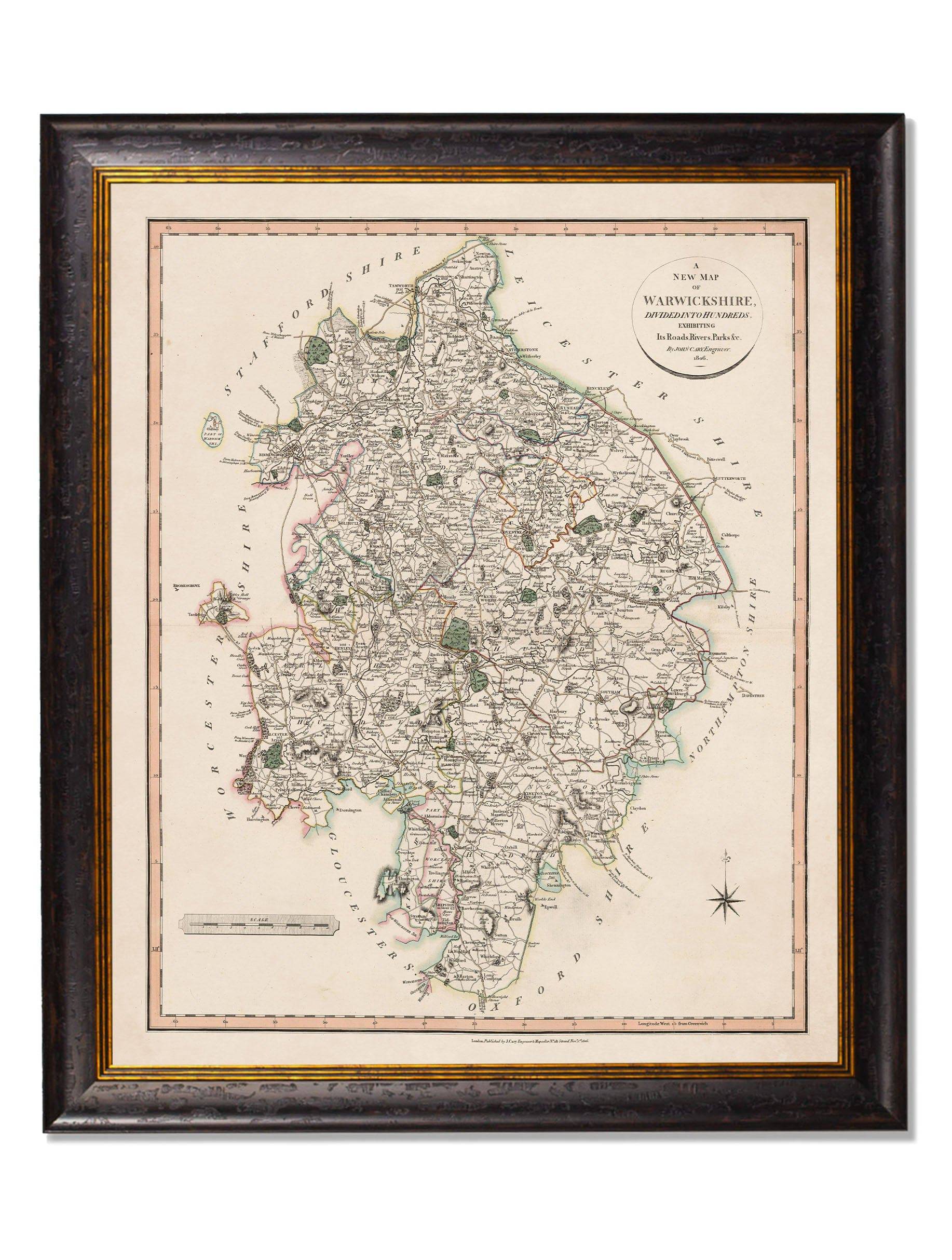
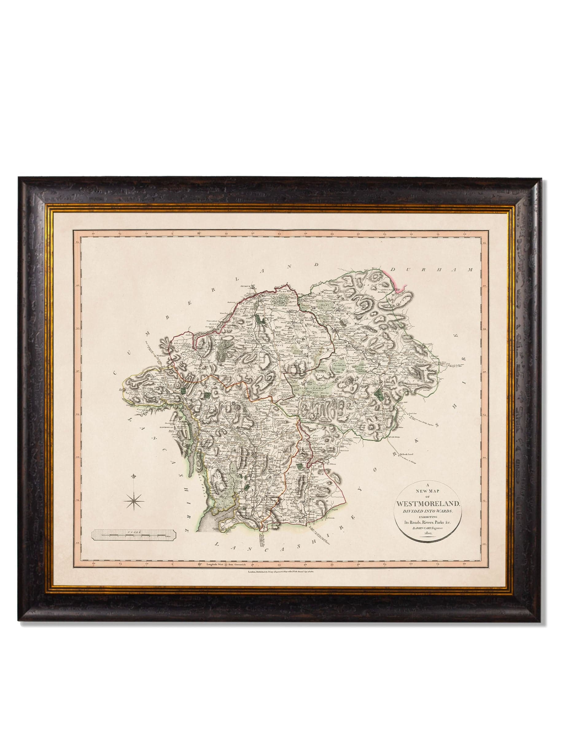
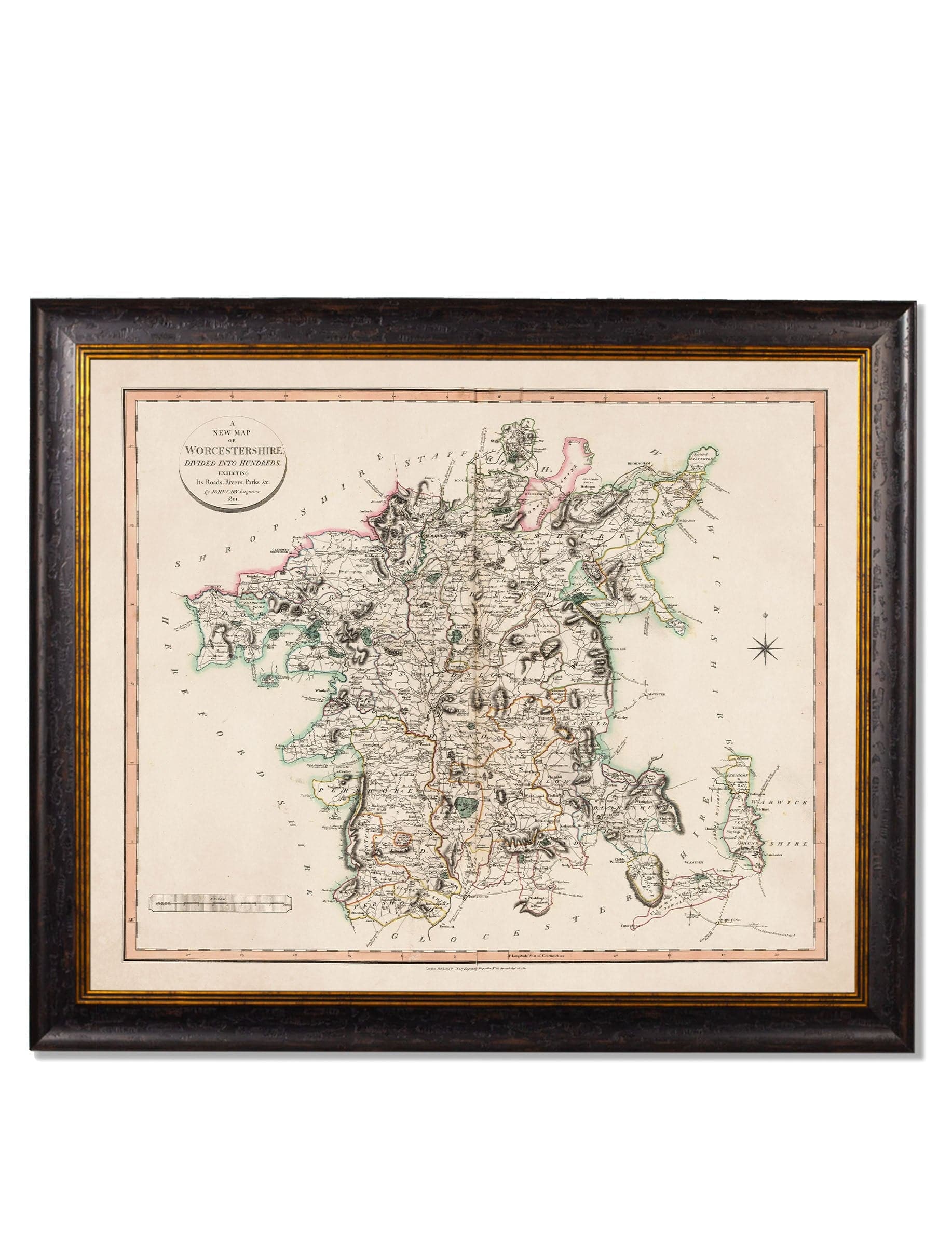
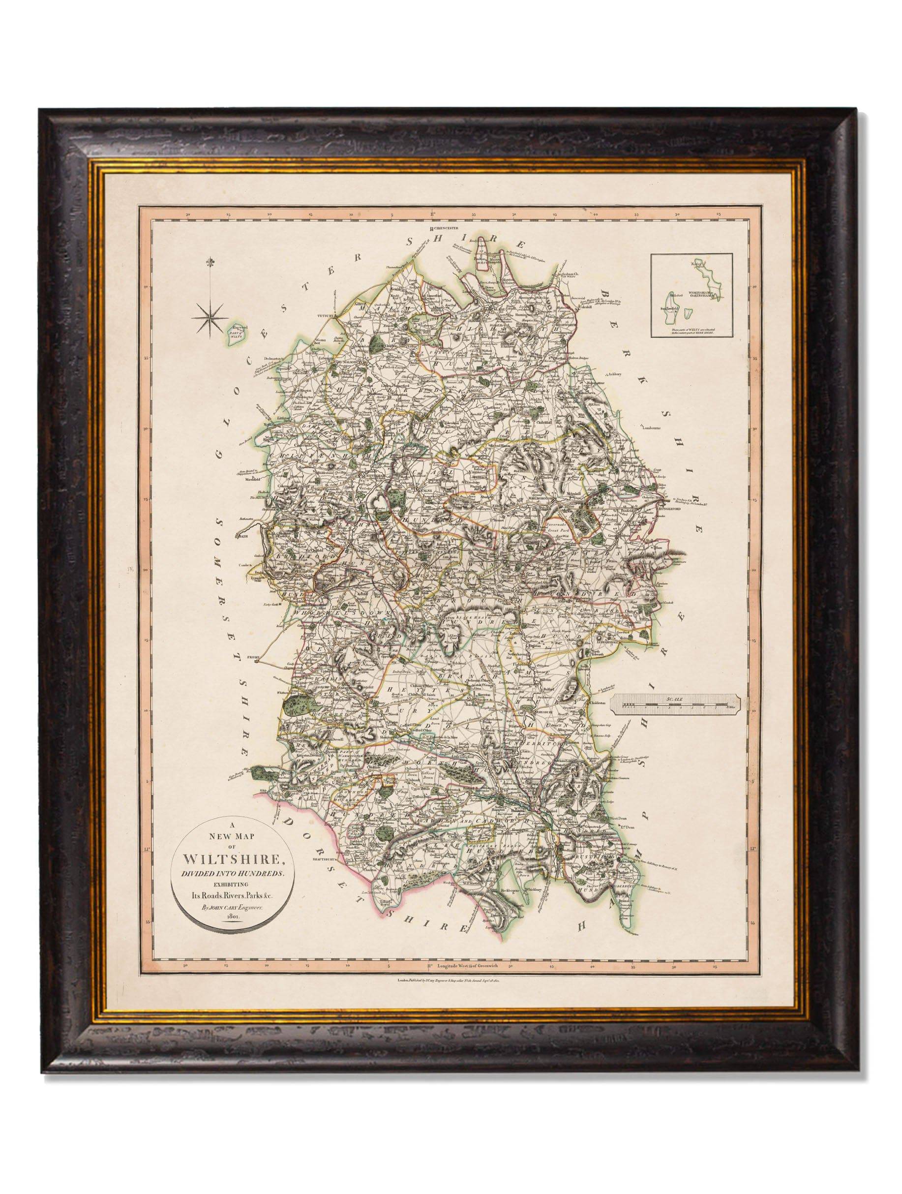



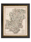
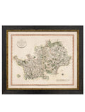
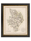
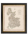
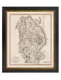
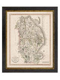
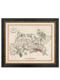
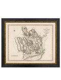
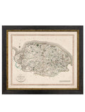
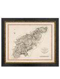
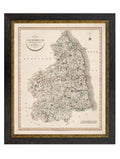
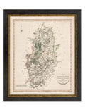
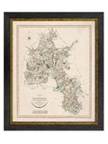
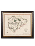
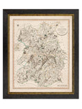
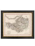
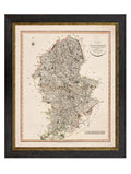
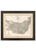
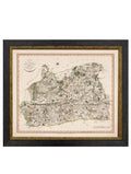
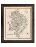
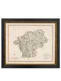
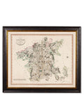
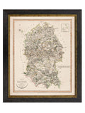
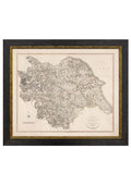
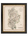
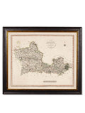
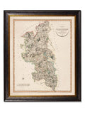
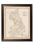
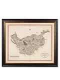
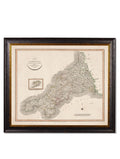
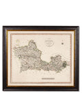
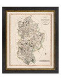
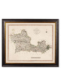
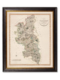
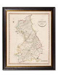
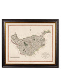
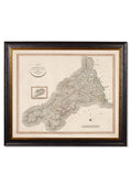
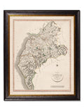
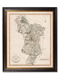
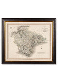
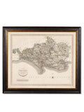
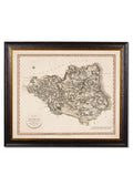
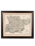
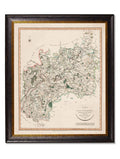
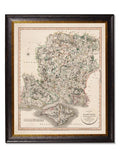
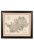
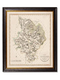
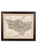
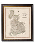
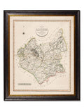
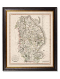
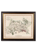
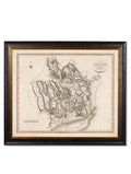
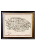
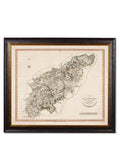
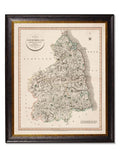
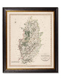
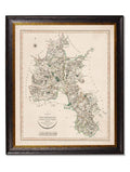
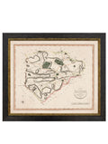
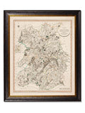
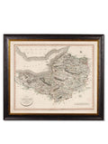
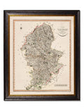
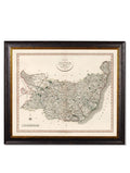
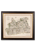
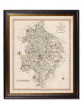
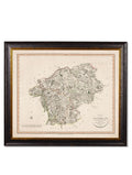
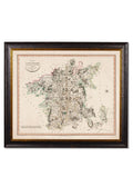
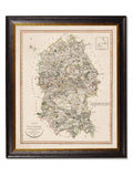
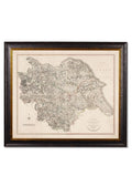
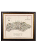
c.1806 County Maps of England
Product Specifications
Dimensions
-
Statement Size: 84 x 70cm (Large Format)
-
Orientation: Landscape / Horizontal.
Details & Materials
-
Art Style: Early 19th-Century English Cartography / Copperplate Engraving.
-
Printing: Archival-grade giclée printing on 315gsm fine art paper for museum-quality clarity and longevity.
-
Frame: Sustainable Oxford wood frame, available in various hand-finished styles.
-
Glazing: High-clarity glass-fronted for a professional, protected finish.
County Options
Choose your local history from the dropdown menu, featuring detailed maps of:
-
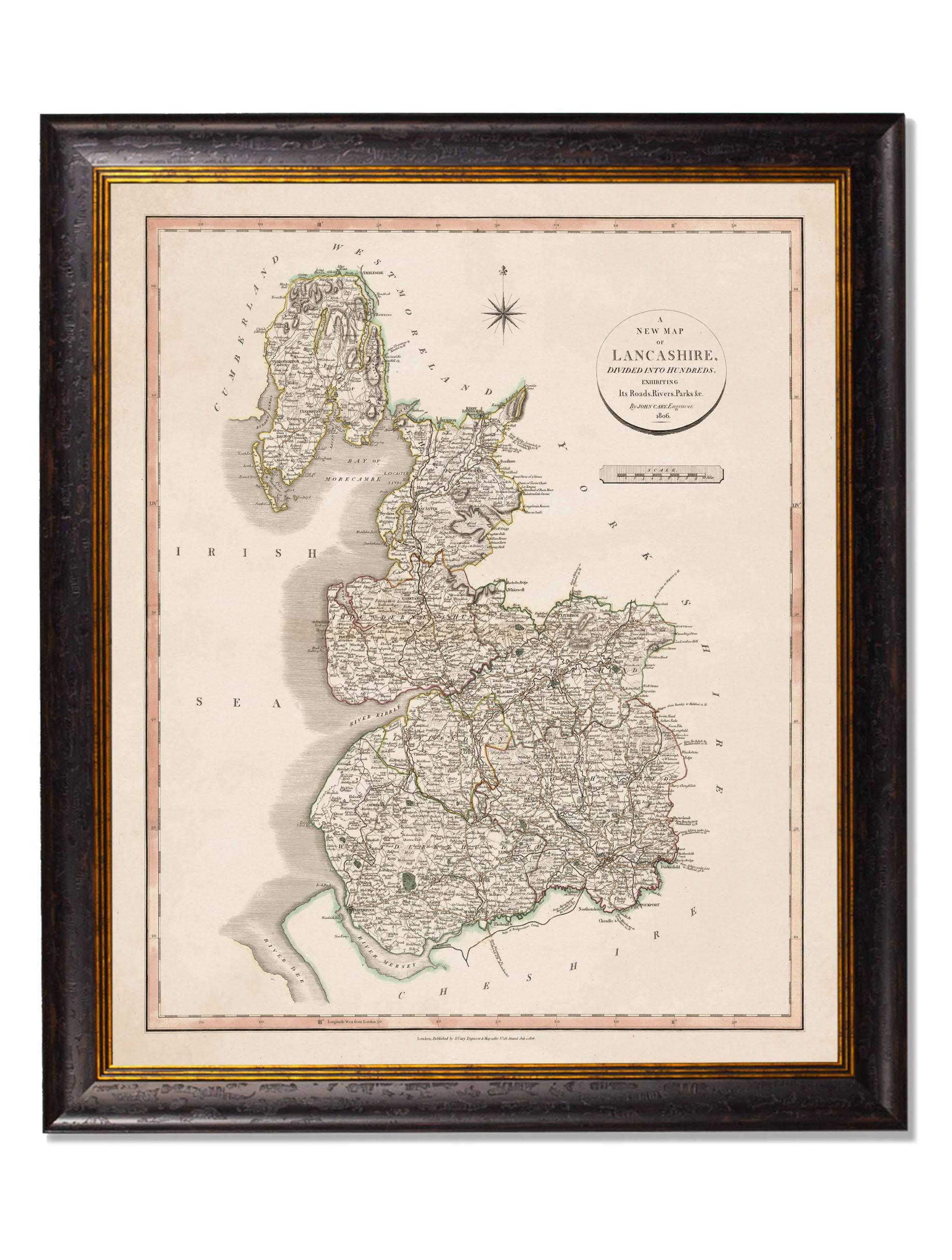
Lancashire: Including historic boundaries and township details.
-
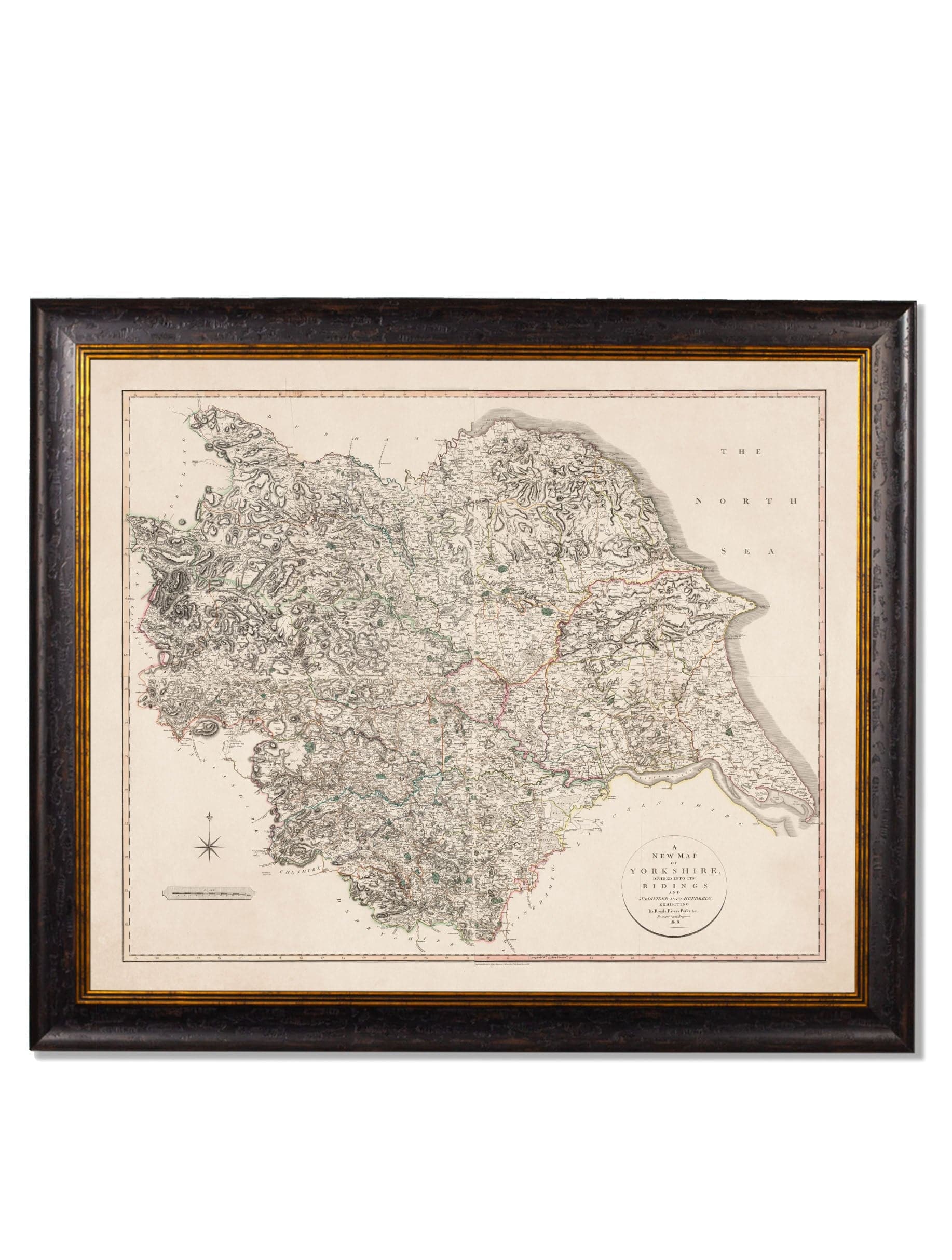
Yorkshire: Highlighting the expansive Ridings and market towns.
-
Cumbria: Capturing the rugged topography of the Lake District.
-
Cheshire: Detailing the ancient hundreds and waterways.
-
Select your specific county from our extensive 1806 collection menu.
Why Choose the c.1806 County Maps?
The c.1806 County Maps of England collection is an ideal choice for adding a sense of legacy and intellectual weight to a library, study, or large entrance hall. This collection is a standout because:
-
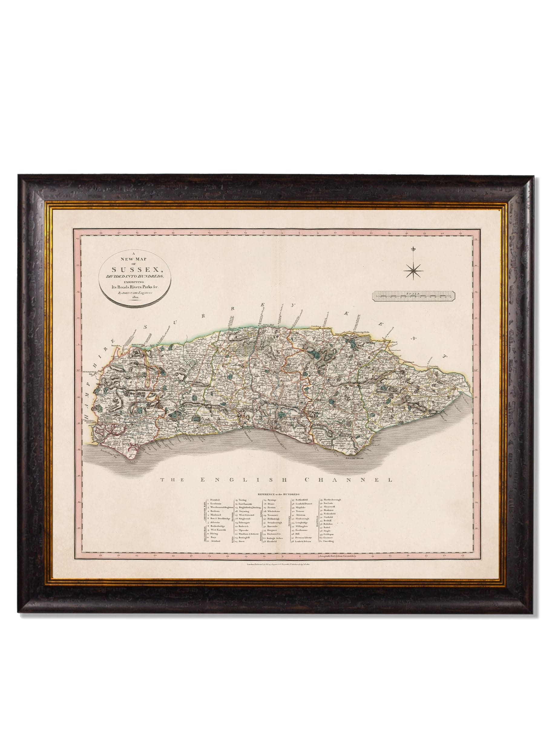
Commanding Statement Scale: At 84 x 70cm, these maps are designed to anchor a room, allowing the viewer to appreciate every tiny village, road, and river as they appeared over two centuries ago.
-
Enhanced Georgian Detail: Our restoration process emphasizes the subtle hand-coloured tints and elegant serif typography, preserving the authentic charm of the Regency period.
-
Hand-Finished British Quality: Every component is hand-cut and assembled in Britain using sustainable materials and archival methods, ensuring a premium finish with a minimal carbon footprint.