


c.1830 County Maps of England – Vintage Framed English Map Prints
Historic English County Maps with Local Character
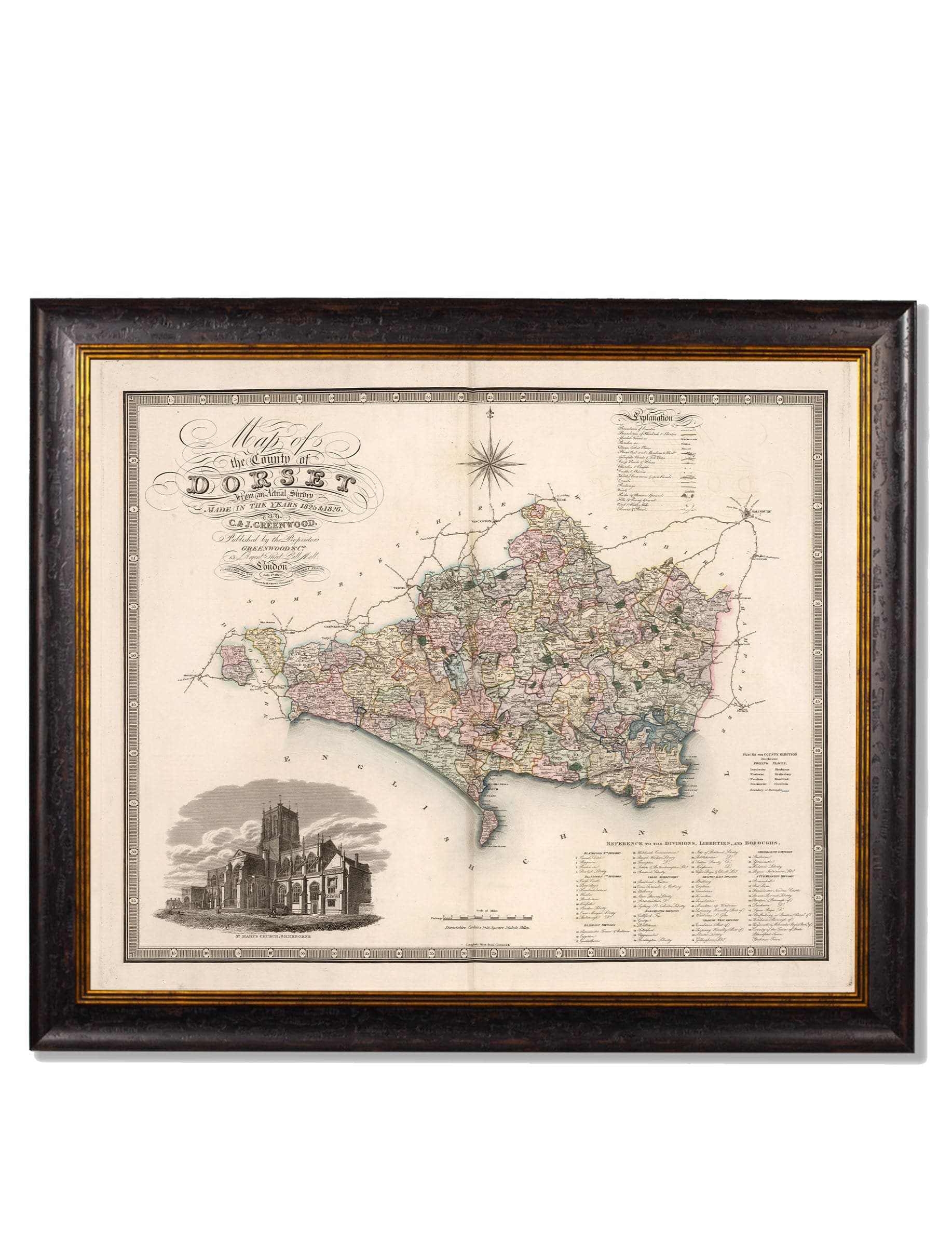
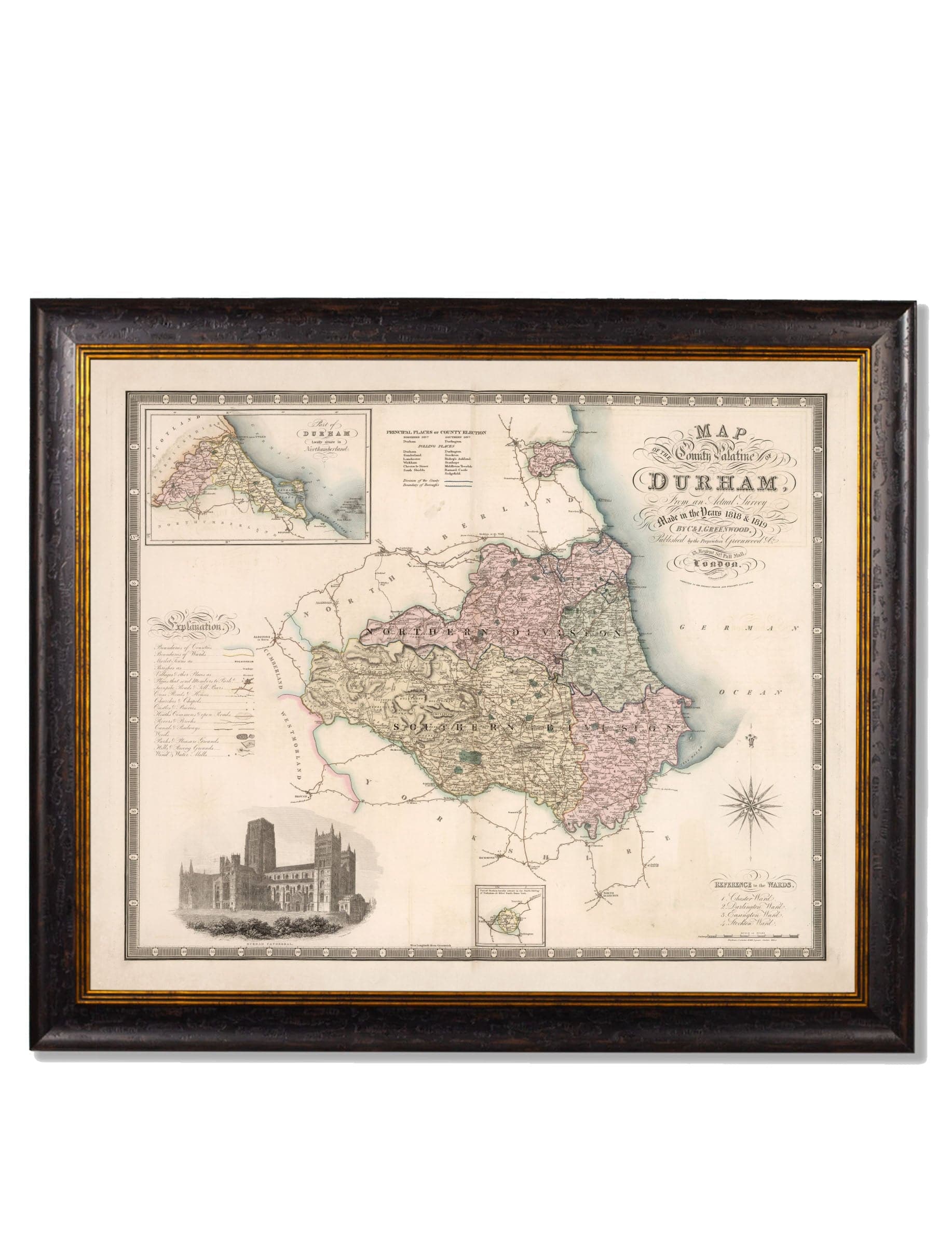
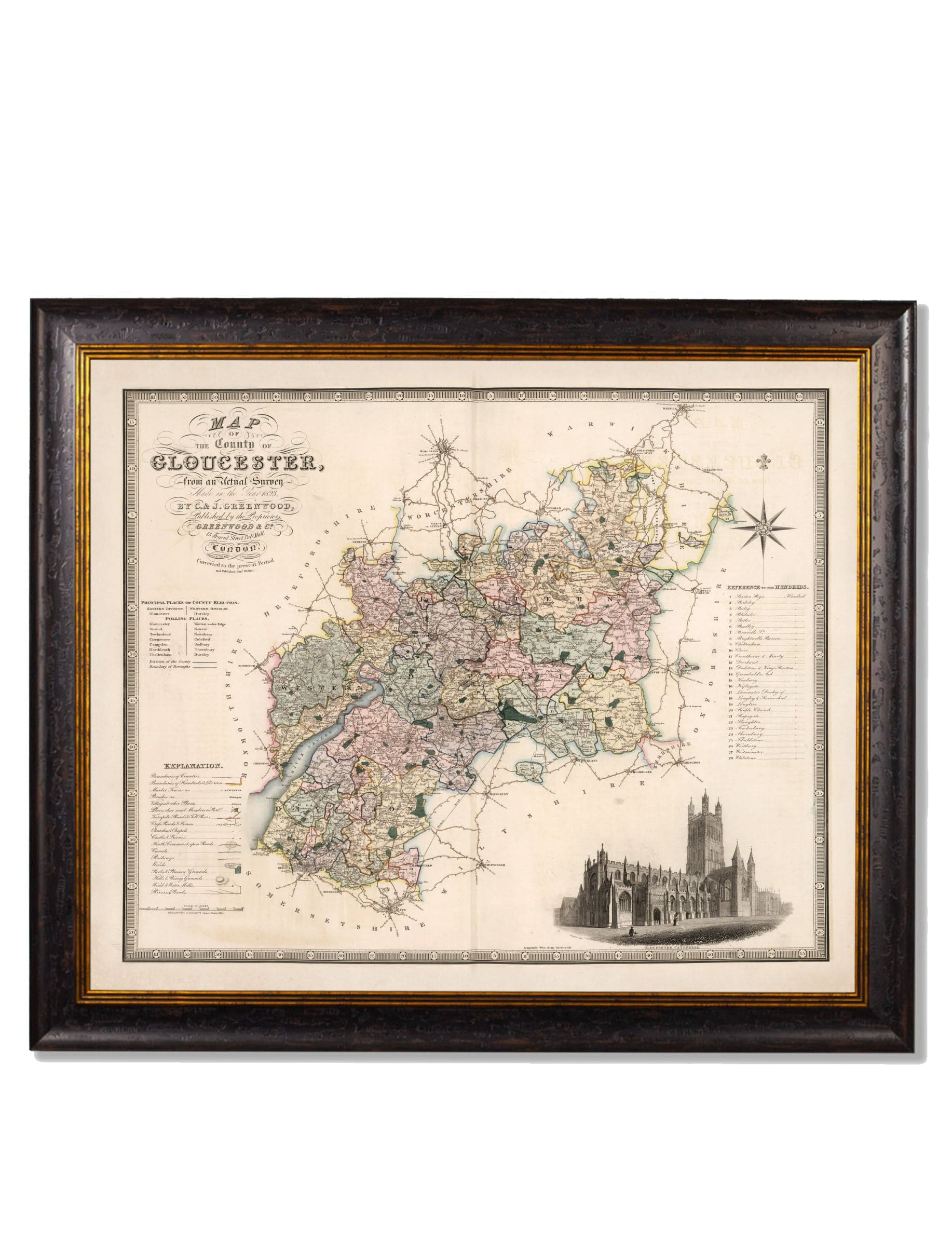
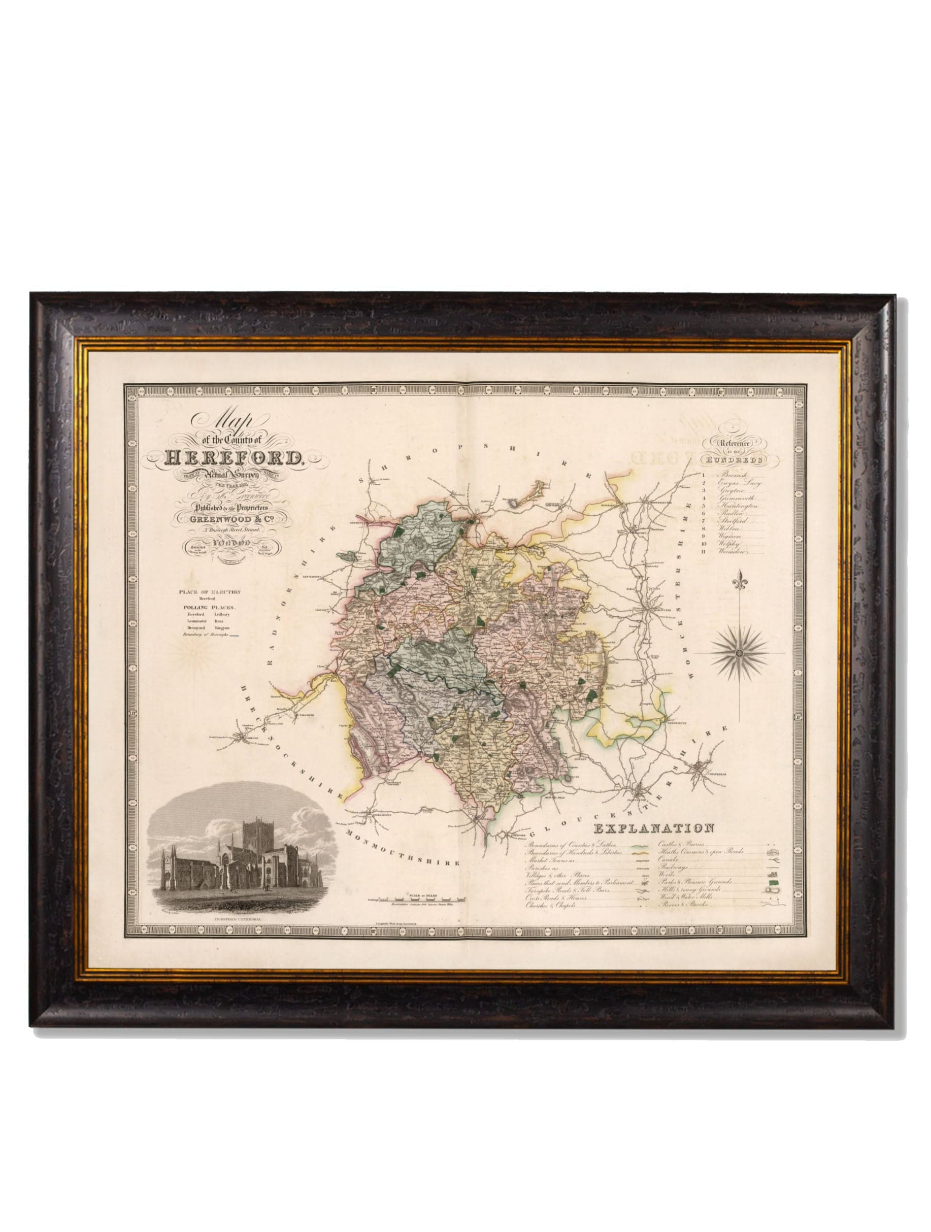
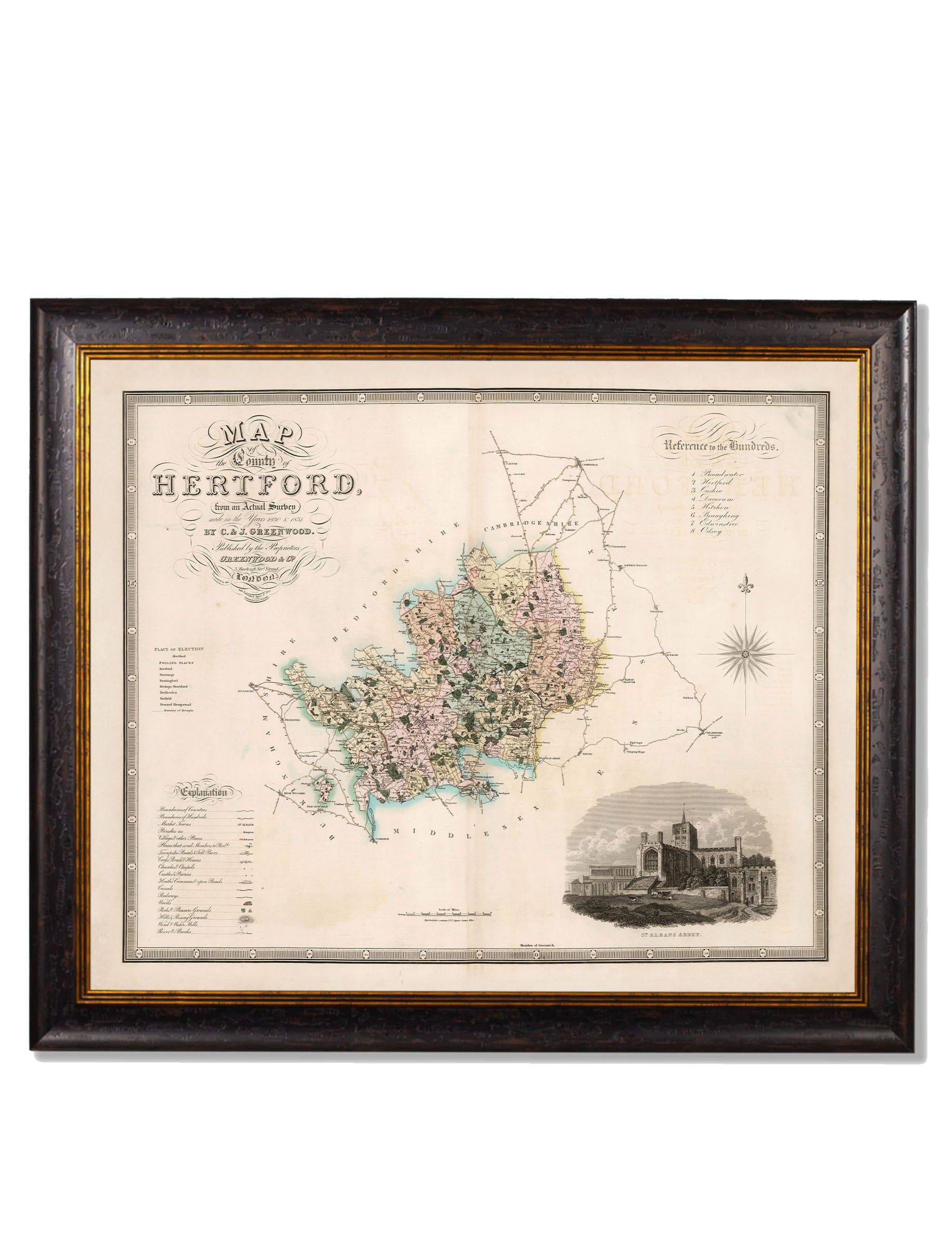
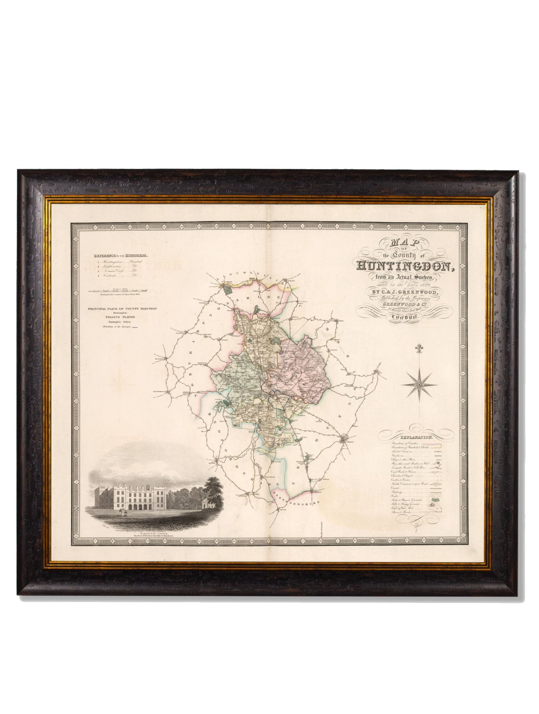
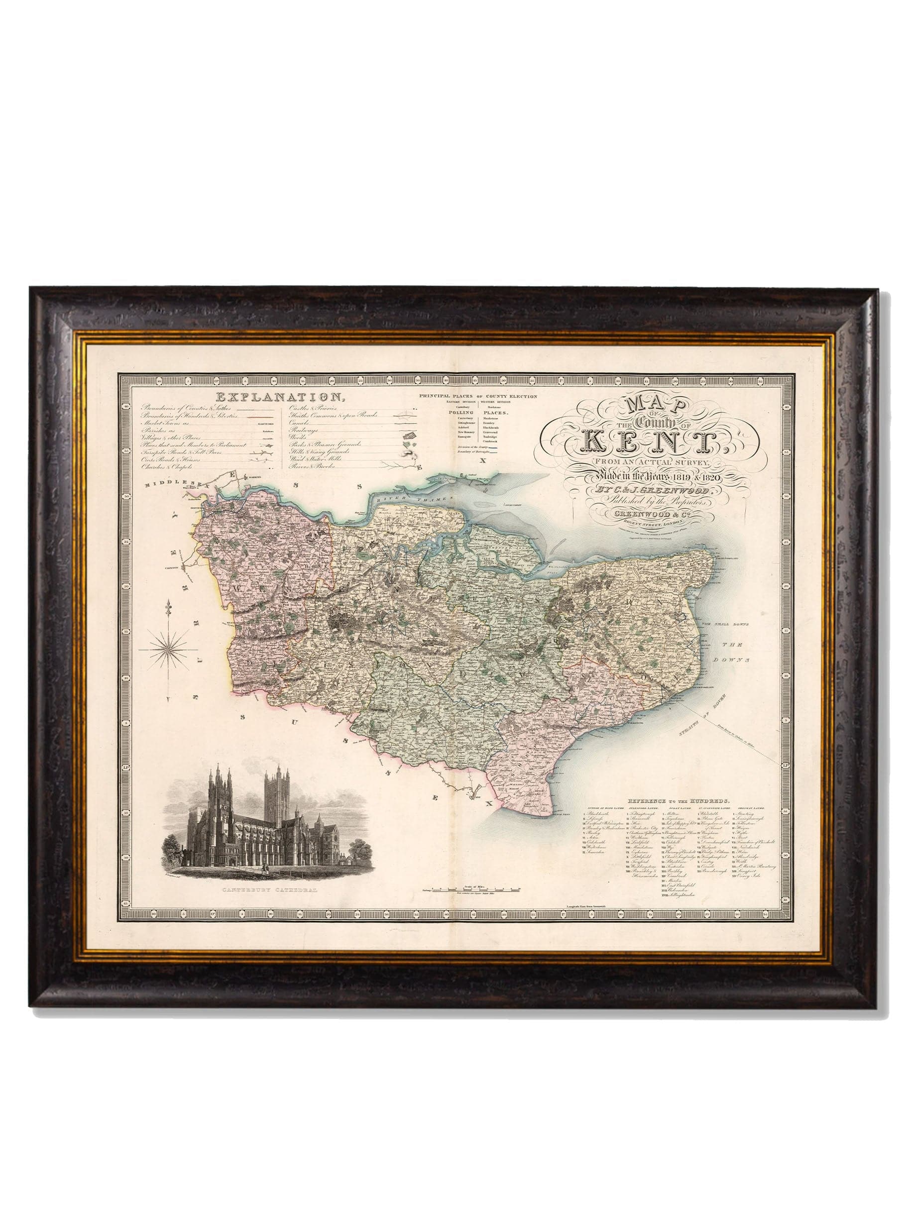
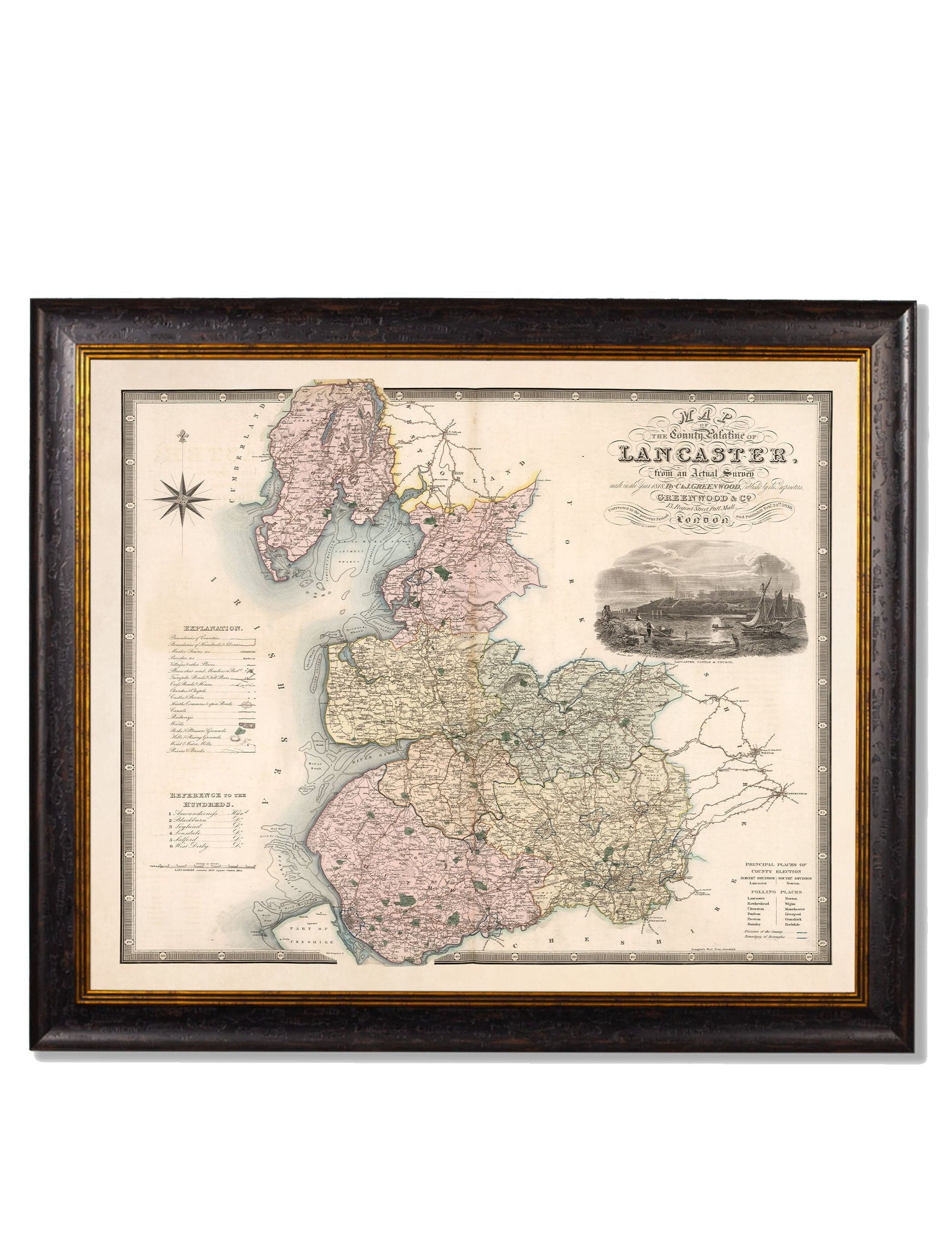
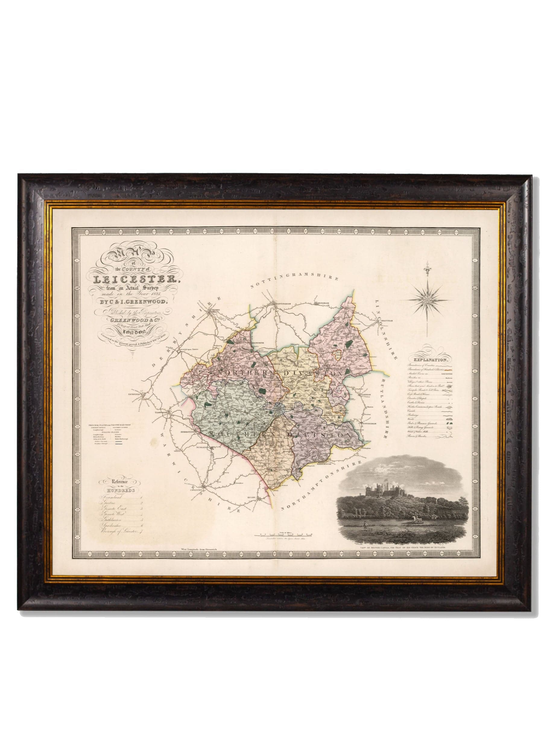
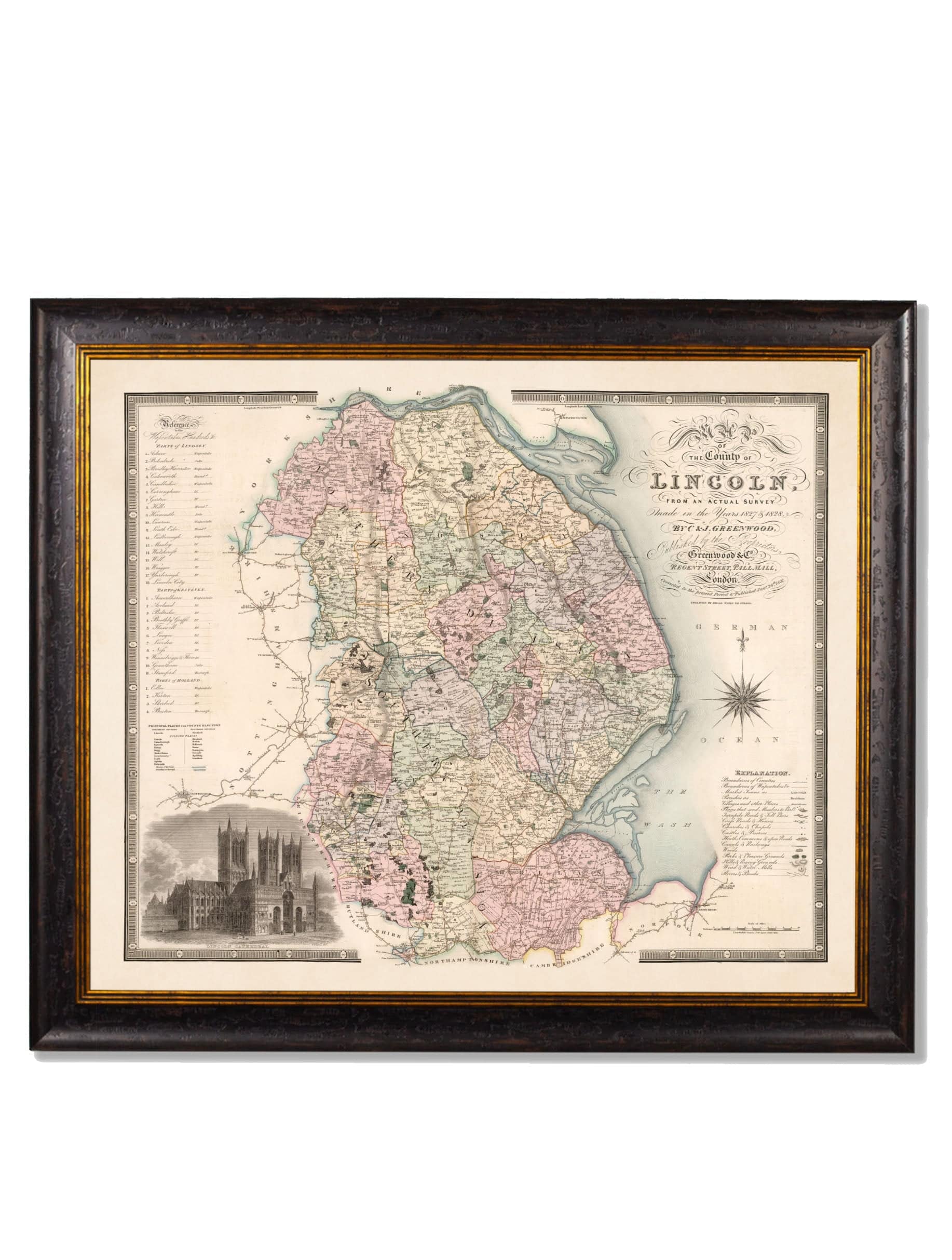
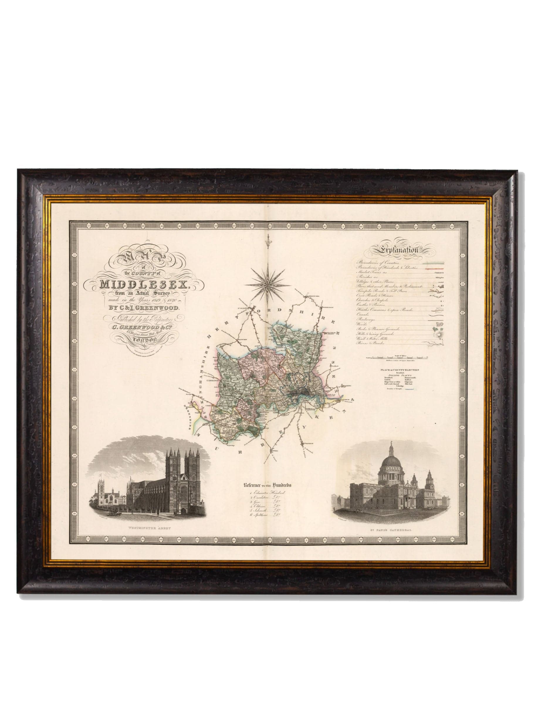
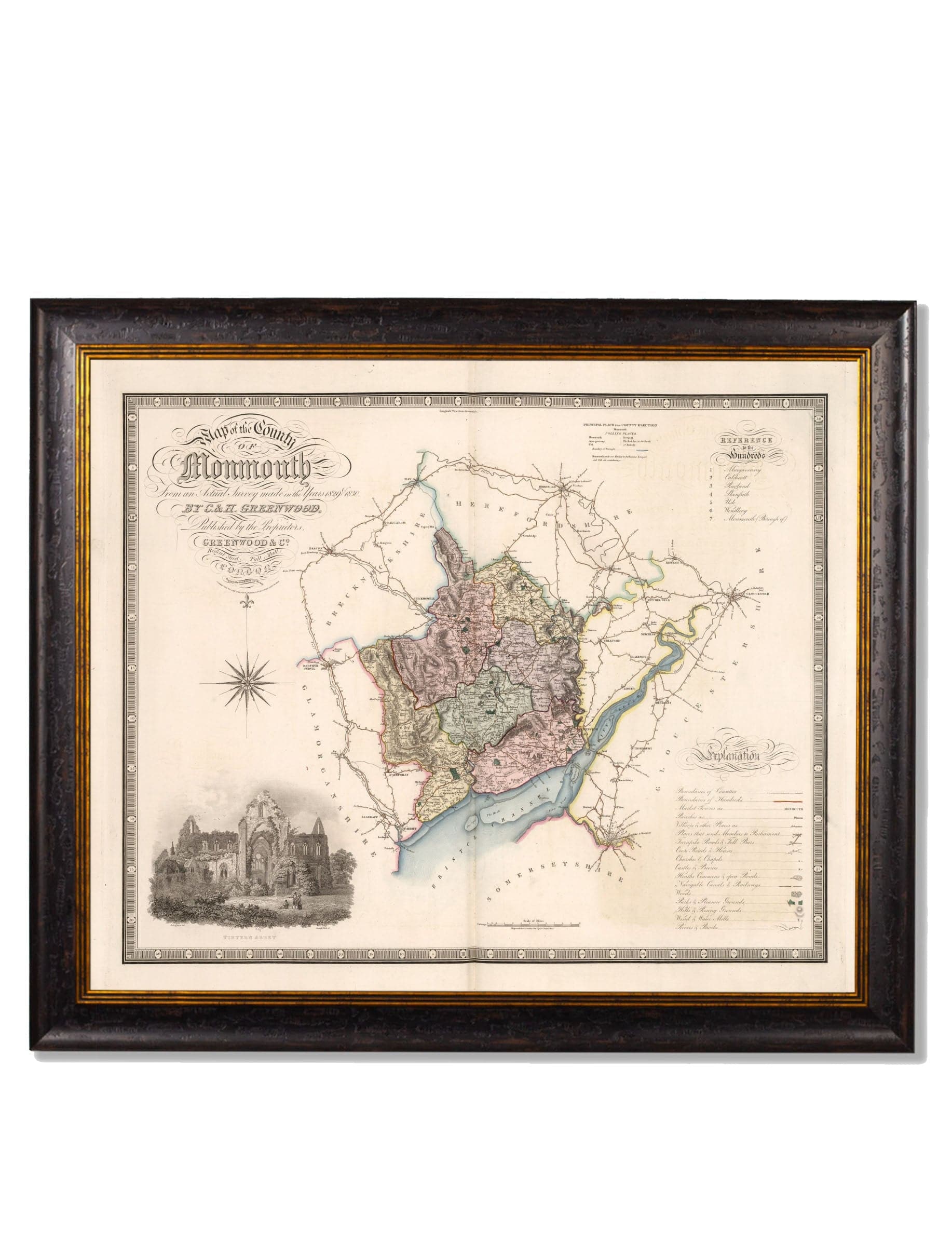
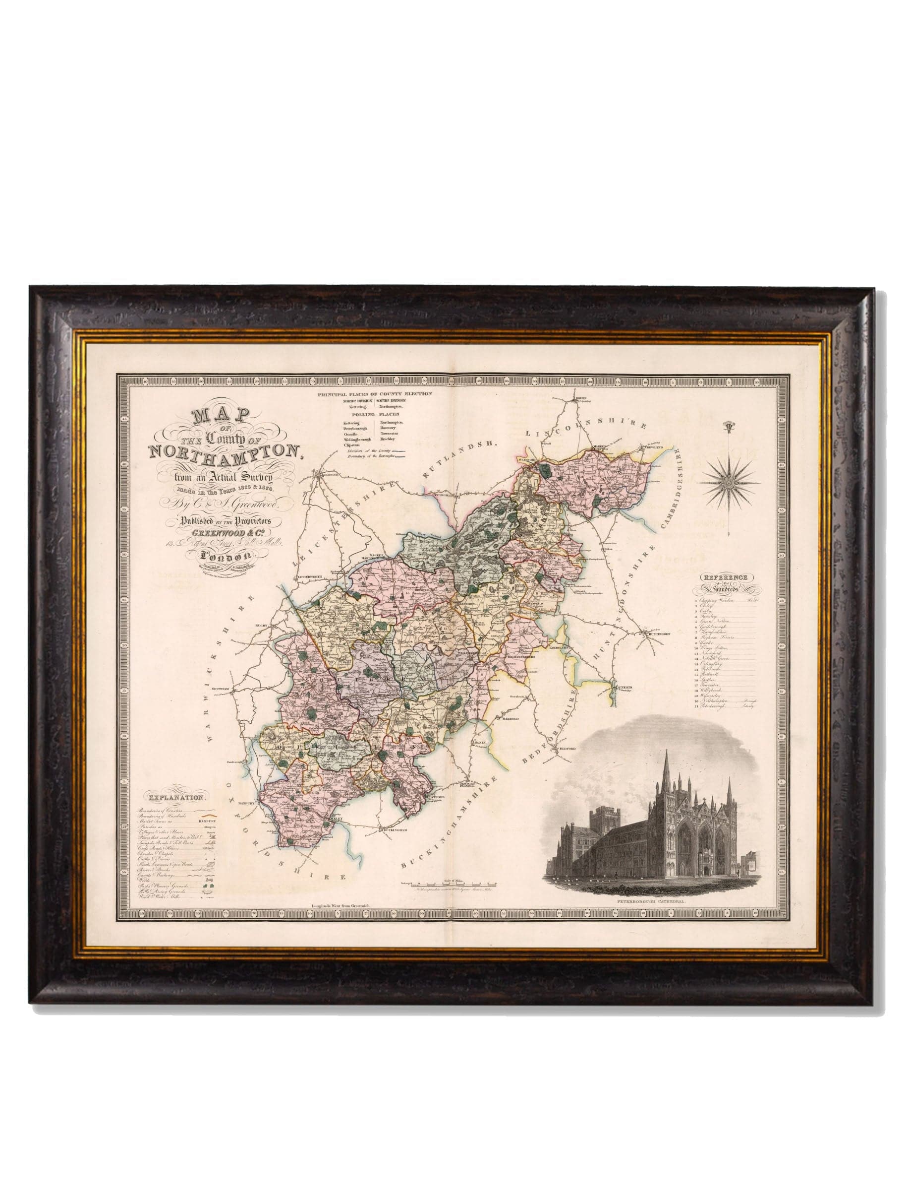
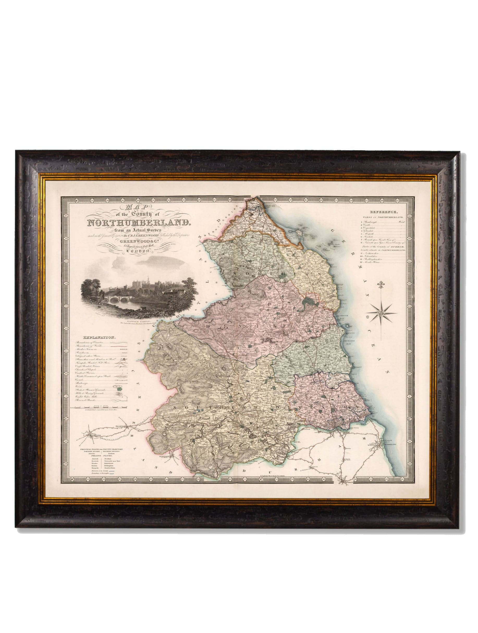
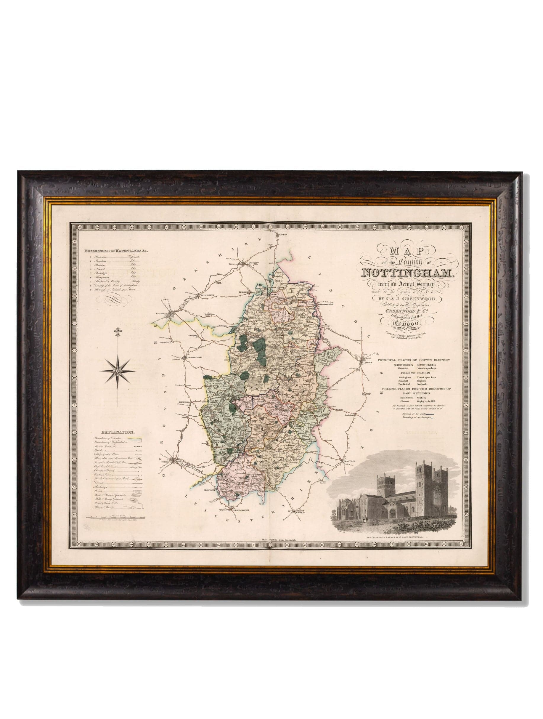
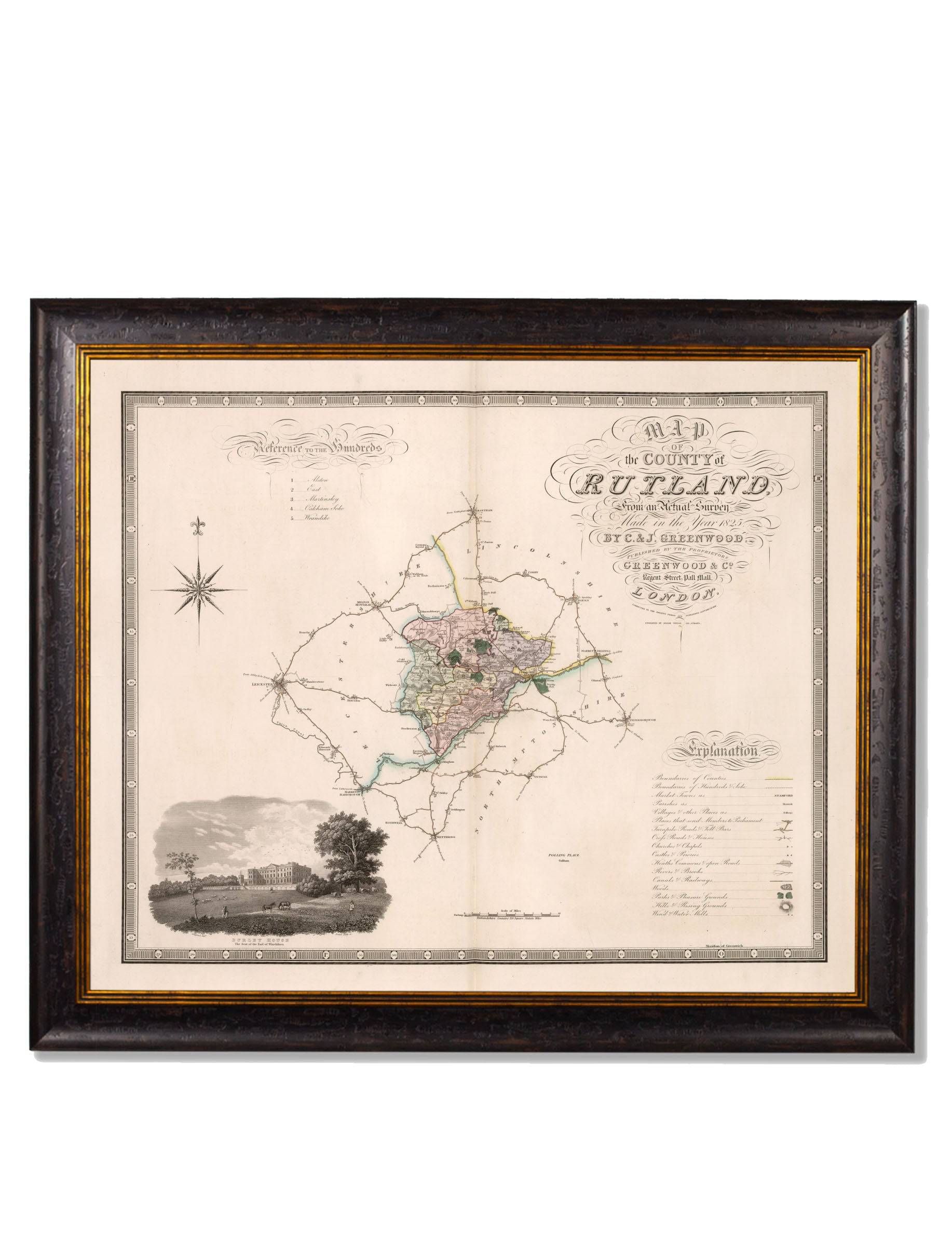
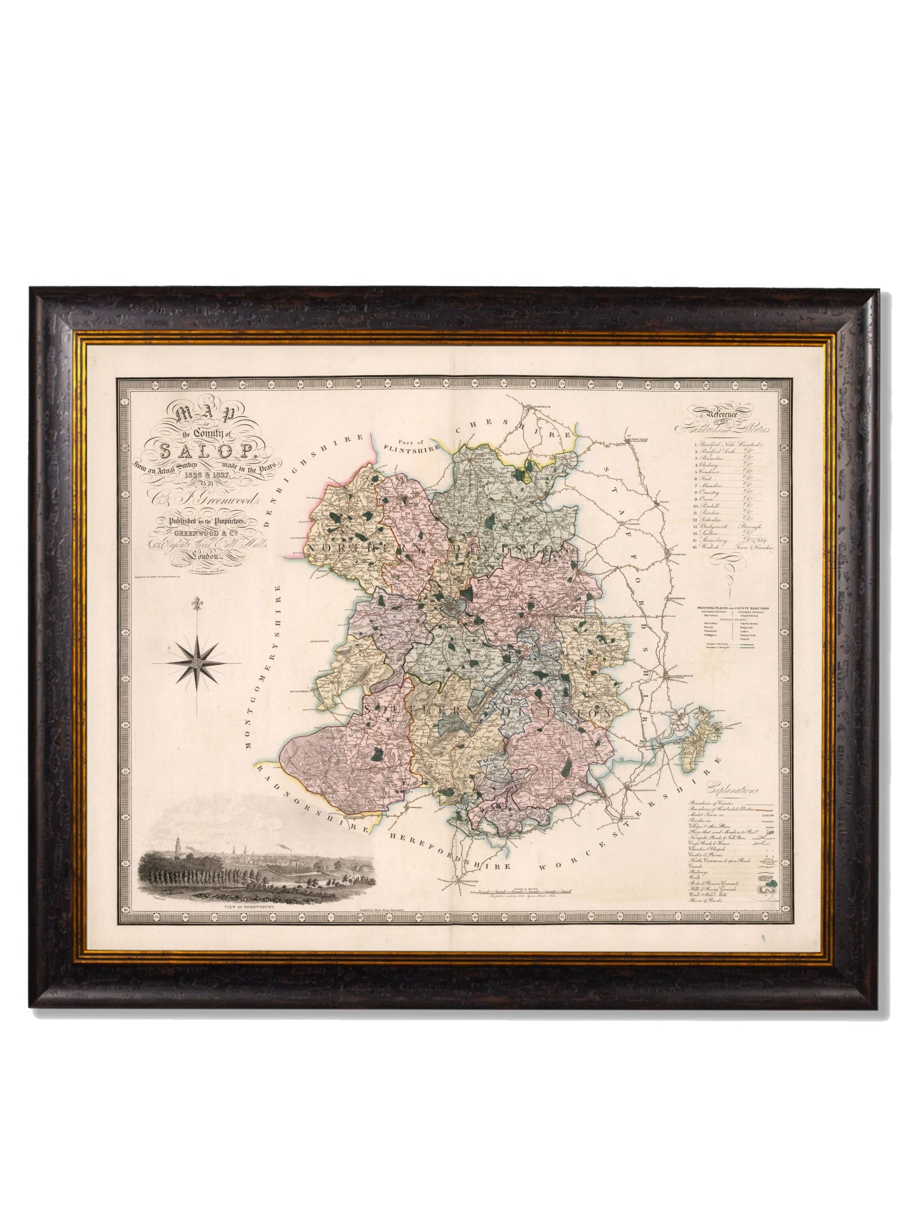
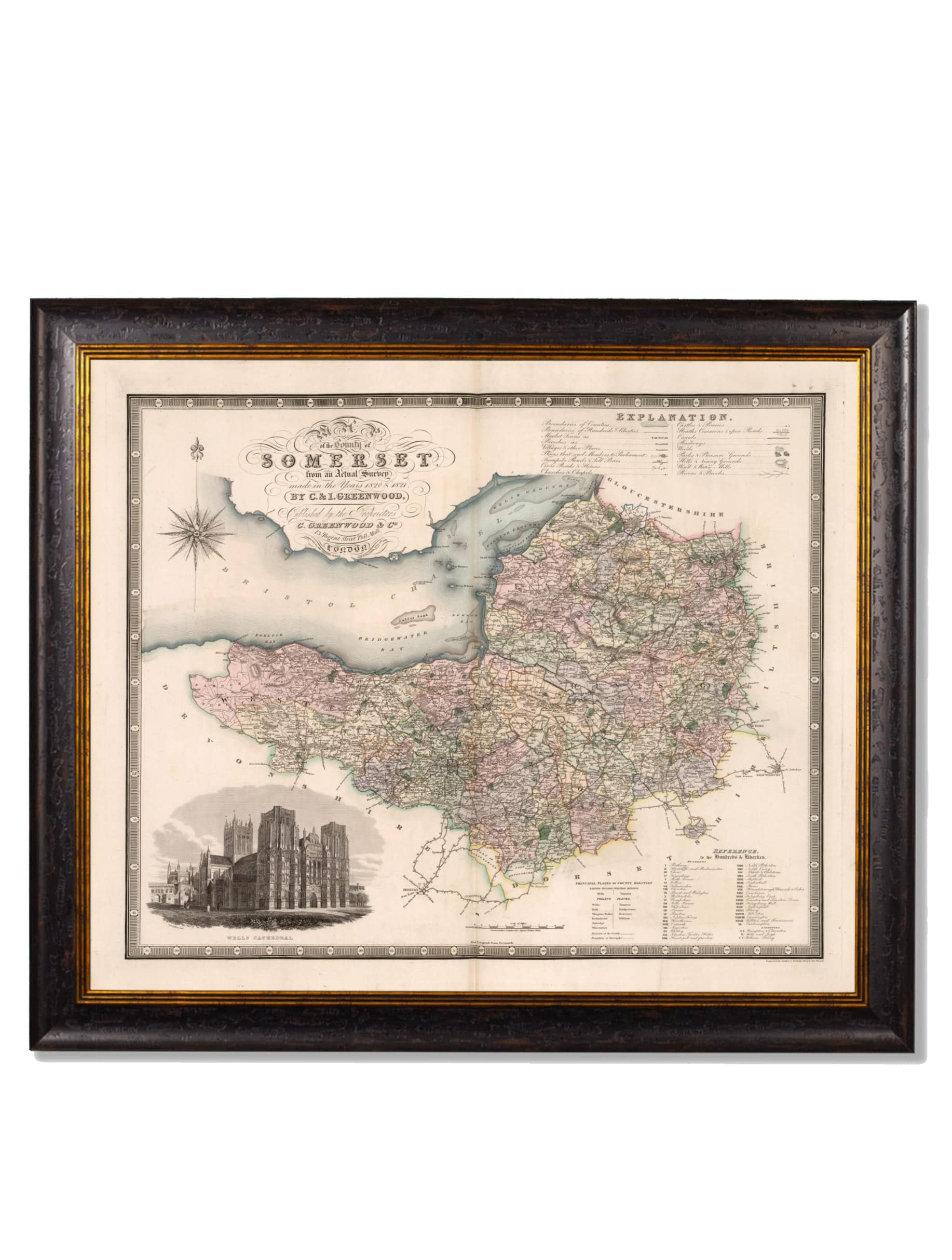
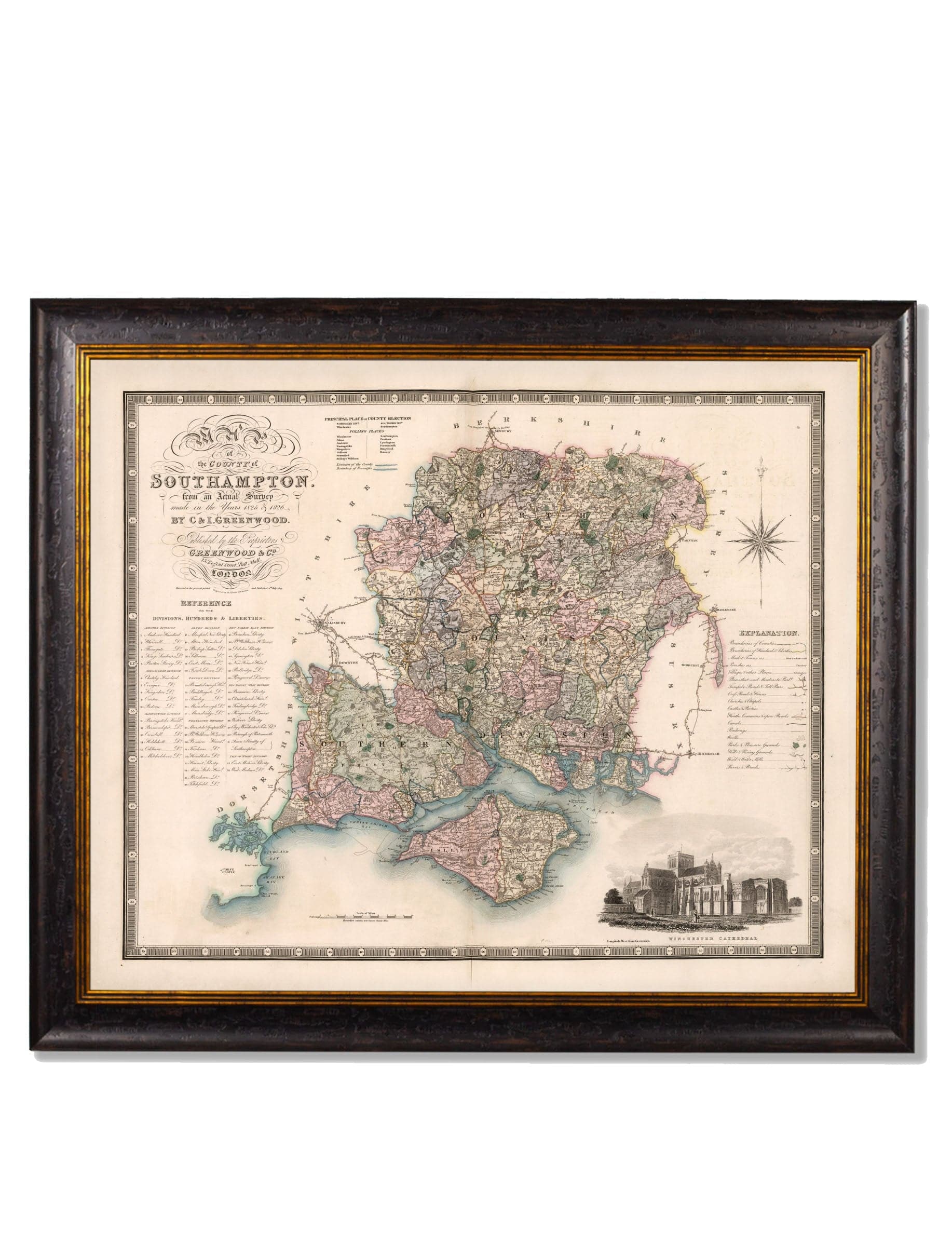
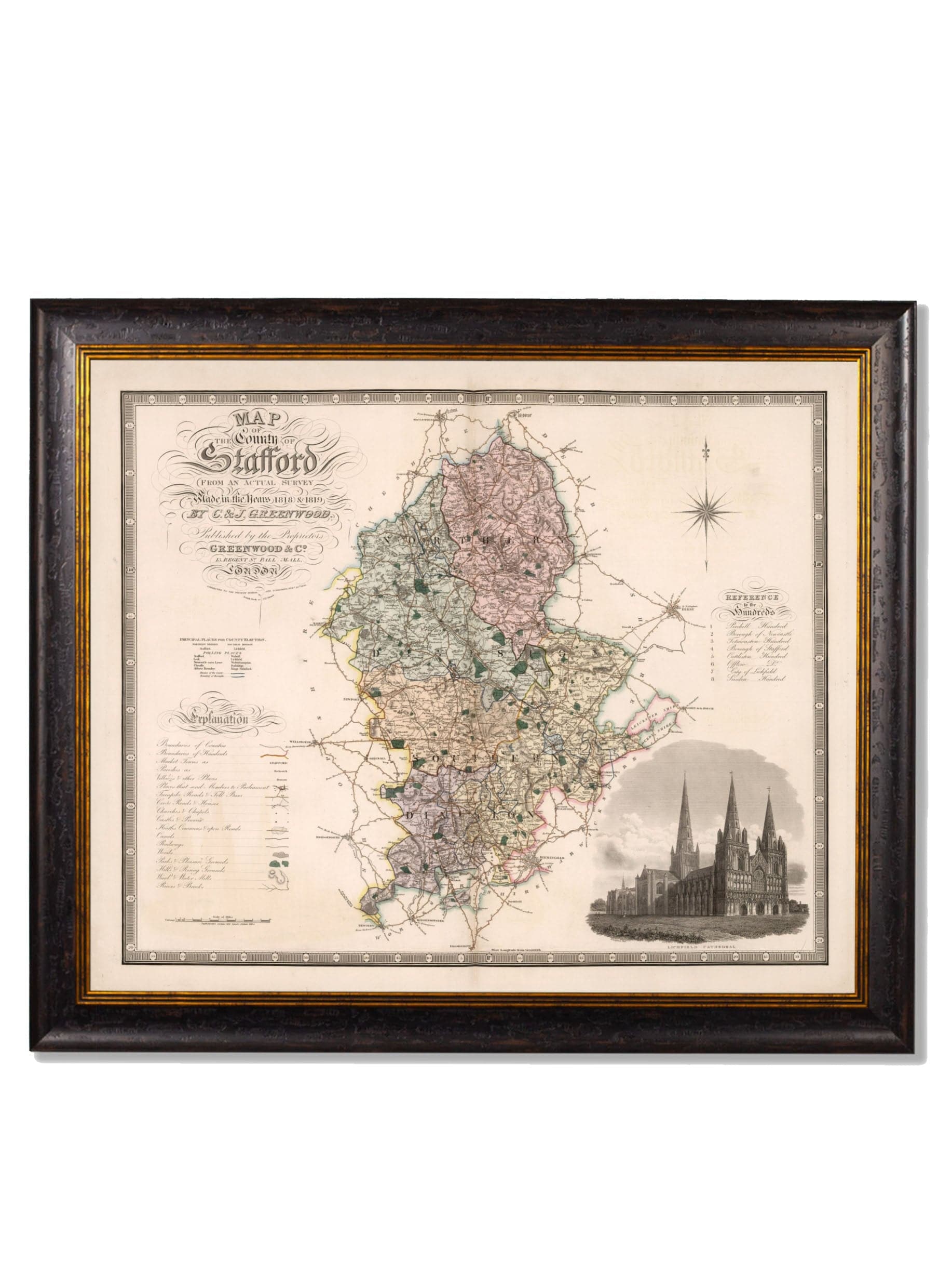
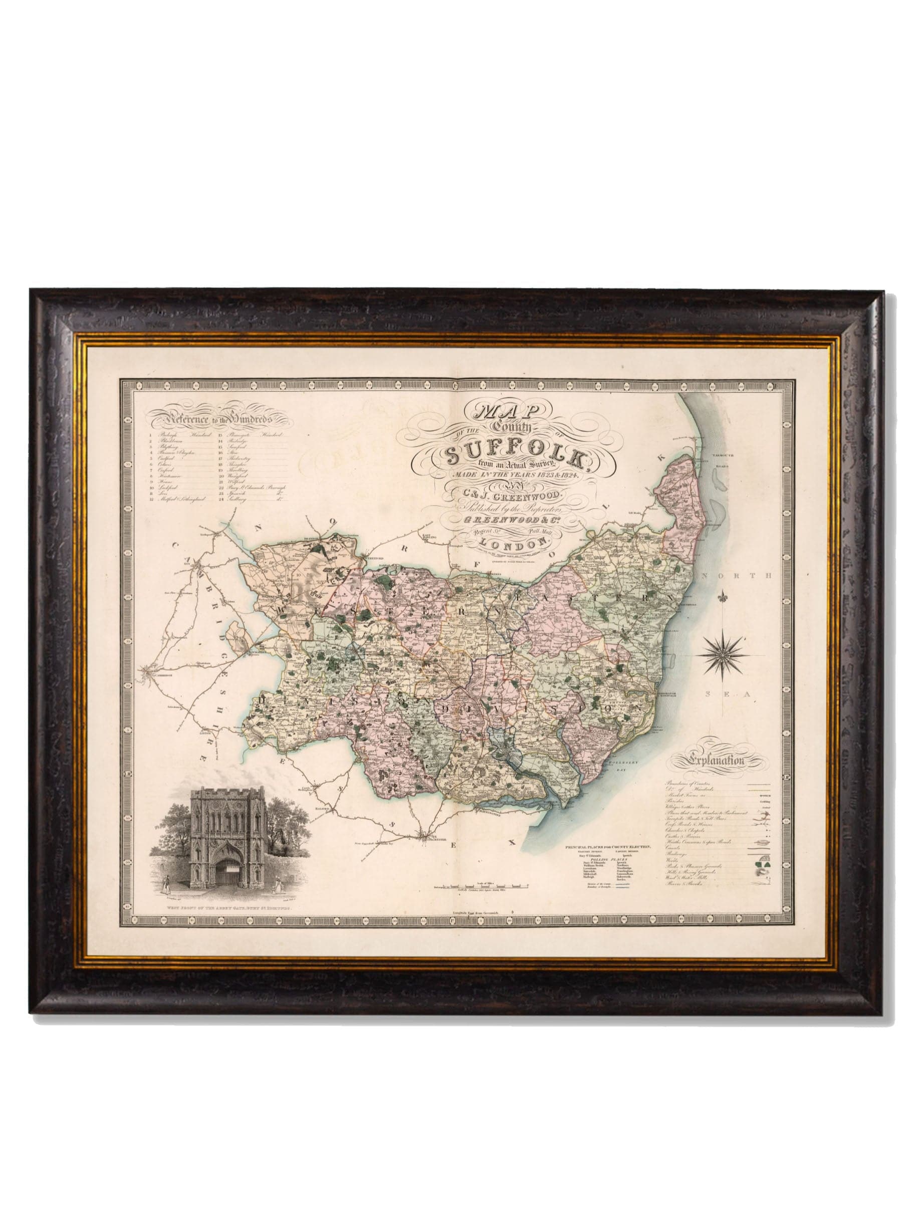
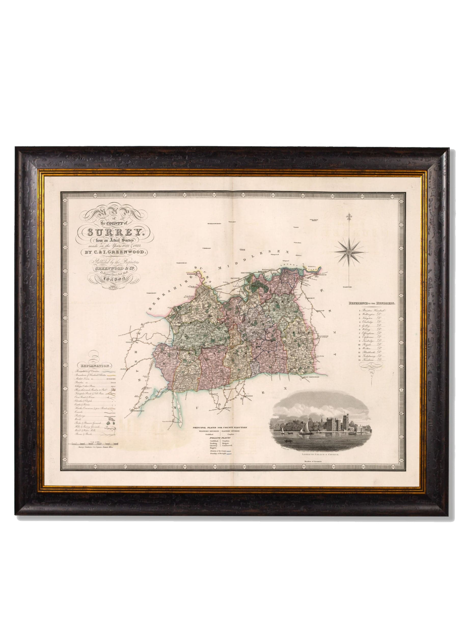
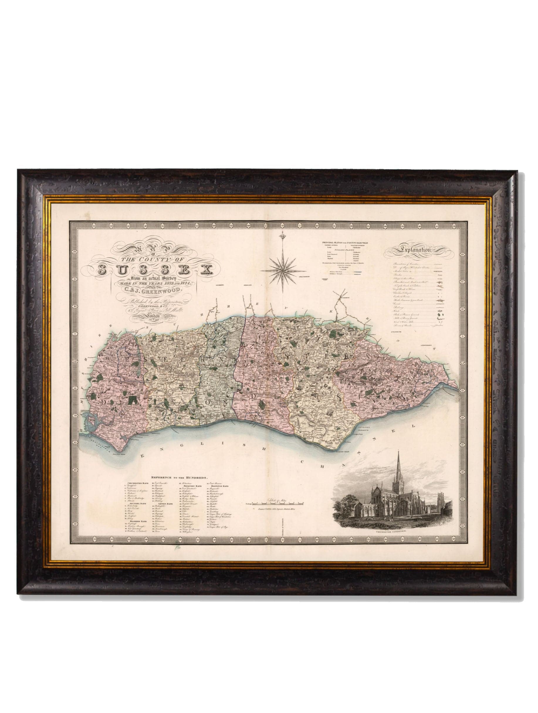
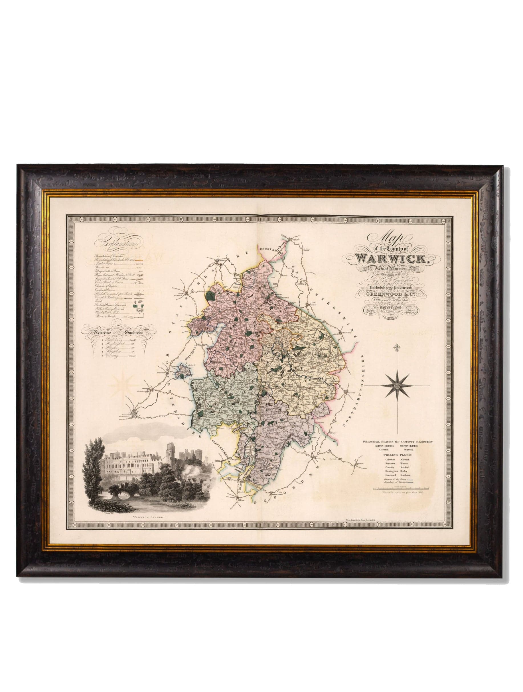
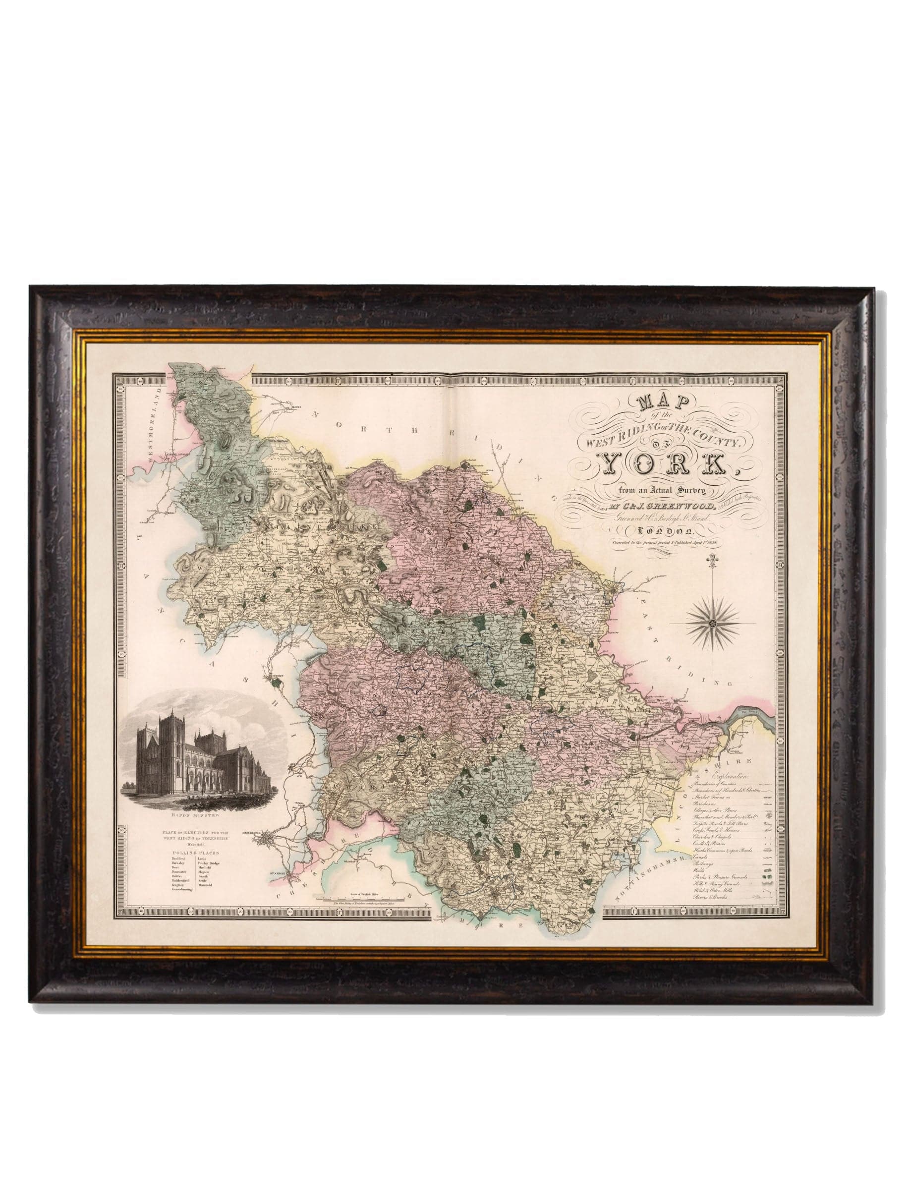
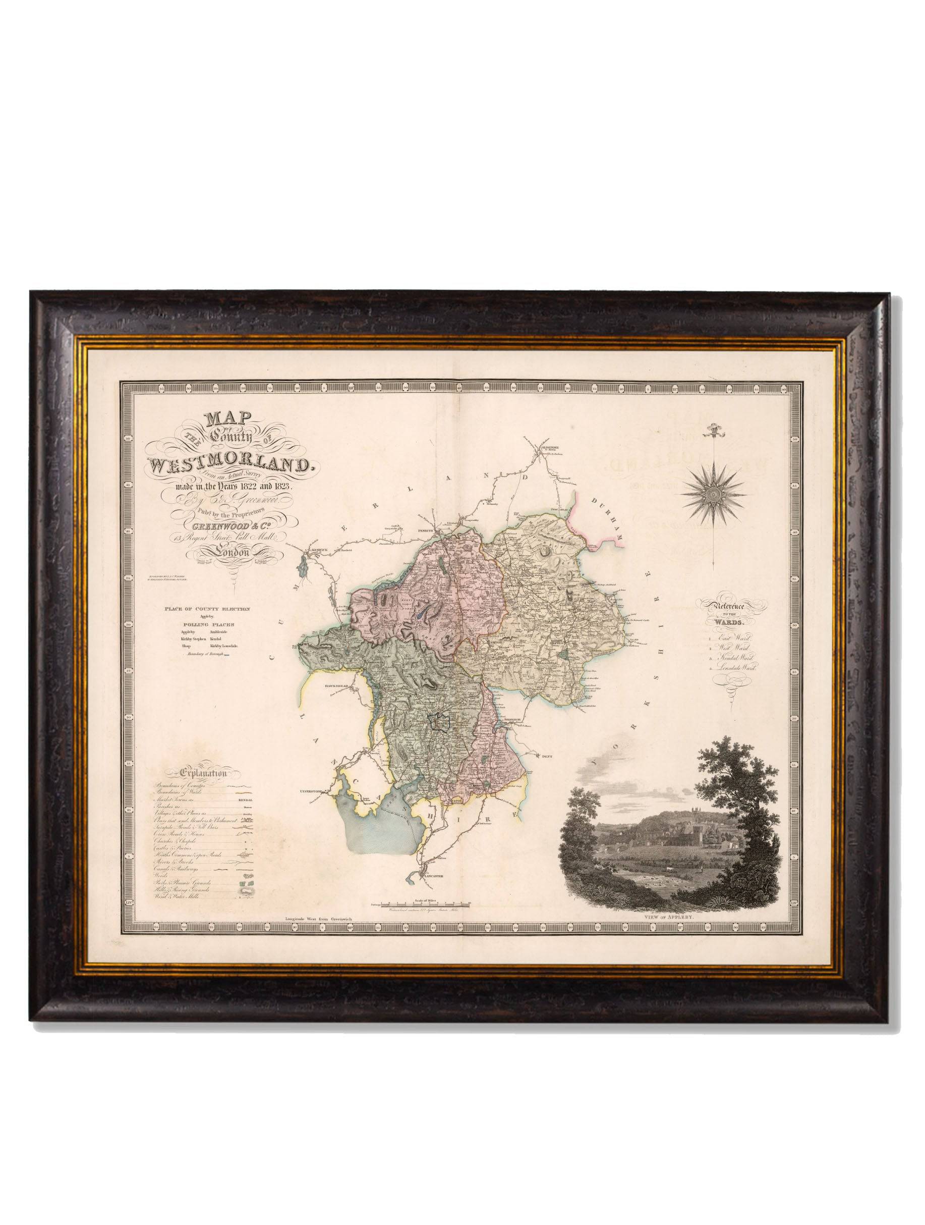
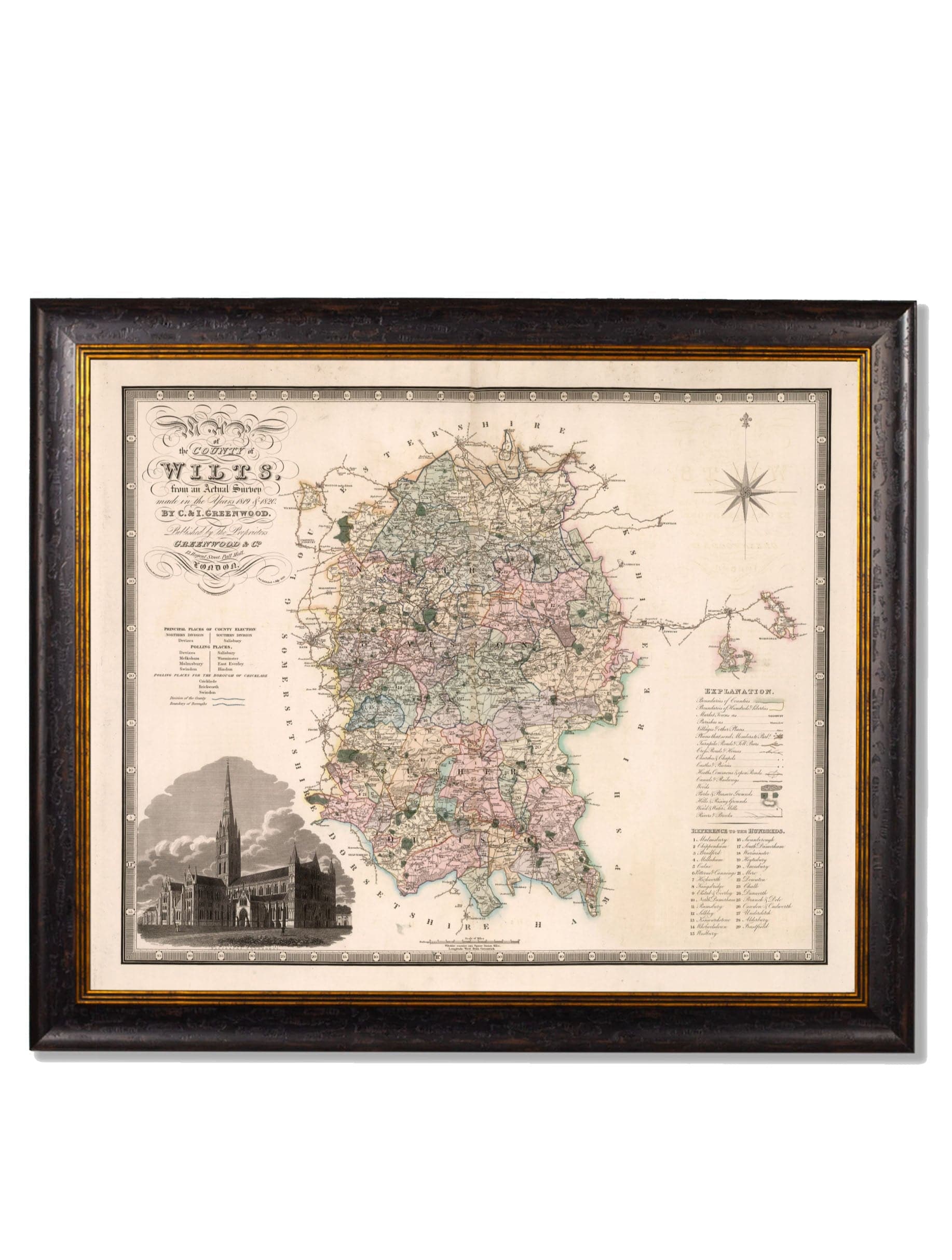
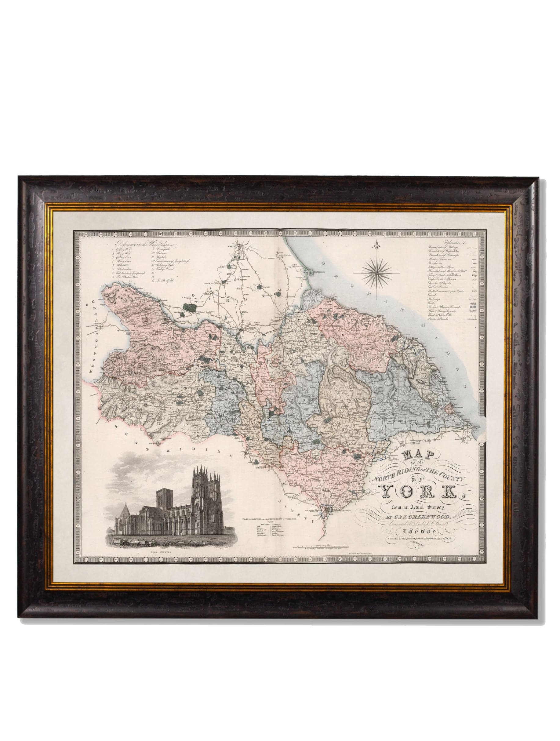
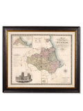
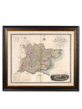
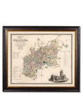
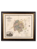
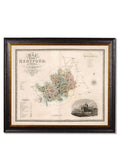
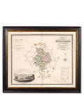
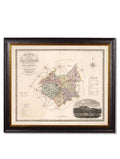
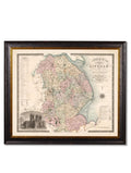
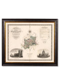
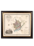
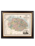
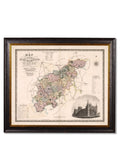
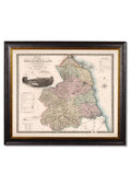
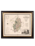
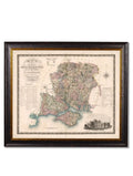
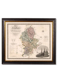
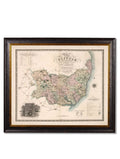
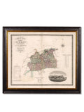
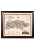
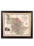
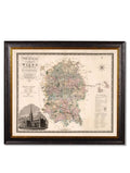
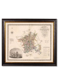
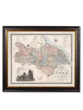
Perfect for adding a touch of local history to your interior, these beautifully restored English county maps date from the early 19th century (c.1830). Rich in detail and character, each map celebrates the unique identity of its county.
Illustrated Landmarks & Period Detail
Each map features charming inset illustrations of notable landmarks, offering a fascinating glimpse into the heritage, architecture, and geography of the time. Together, these elements create a decorative yet informative piece of wall art.
Digitally Restored in Our Lancashire Studio
Carefully digitally restored in our Lancashire studio, these antique maps have been enhanced to improve clarity, balance, and legibility—bringing historic cartography back to life while preserving the authenticity of the originals.
Archival Quality & Sustainable Craftsmanship
Printed using archival-grade methods, these county map prints offer exceptional quality, durability, and resistance to ageing. Every element is hand cut, printed, and assembled in Britain, creating pictures of distinction with a minimal carbon footprint.
Framed & Ready to Hang
Each map arrives framed in an elegant frame crafted from sustainable wood, ready to hang straight away—making it an ideal choice for thoughtful gifting or personal keepsakes.
A Meaningful Addition to Any Interior
Perfect for living rooms, studies, hallways, home offices, or gallery walls, these framed county maps add warmth, heritage, and a sense of place to both traditional and contemporary interiors.
Key Features
-
Vintage English county maps from c.1830
-
Early 19th-century cartographic artwork
-
Features illustrated landmark insets
-
Digitally restored in Lancashire, UK
-
Archival-grade fine art printing
-
Hand cut, printed, and assembled in Britain
-
Frames made from sustainable wood
-
Ready to hang
-
Select your preferred county from the dropdown menu

